Coketon in Tucker County, West Virginia — The American South (Appalachia)
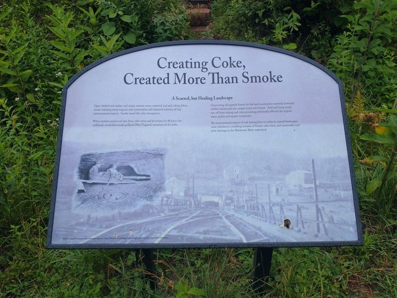
Creating Coke, Created More Than Smoke
A Scarred, but Healing Landscape
Open-shafted and surface coal mines, massive ovens, scattered coal and coking debris, smoke-belching steam engines, and construction and industrial activities all had environmental impacts. Smoke wasn’t the only consequence.
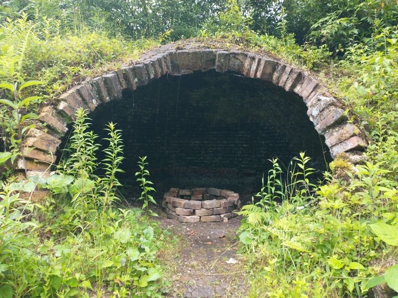
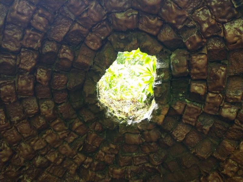
When workers sealed coal mines into these coke ovens and let it burn for 48 hours, the unfiltered, unchecked smoke polluted West Virginian’s mountain air for miles.
Clearcutting old-growth forests for fuel and construction material destroyed wildlife habitat and also caused severe soil erosion. Acid and heavy metal run-off from mining and coke processing profoundly affected the region's water quality and aquatic ecosystems.
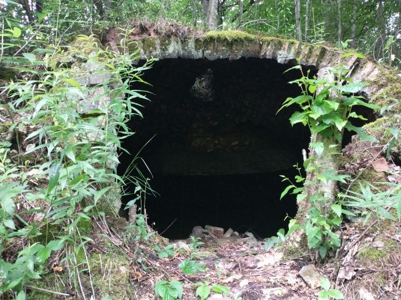
The environmental impact of coal mining lives on today in scarred landscapes, mine subsidence, crumbling remains of former coke ovens, and measurable acid mine drainage in the Blackwater River watershed.
Topics. This historical marker is listed in these topic lists: Environment • Industry & Commerce • Natural Resources.
Location. 39° 7.937′ N, 79° 30.936′ W. Marker is in Coketon, West Virginia, in Tucker County. Marker is on Rail Falls Road (County Road 27/3) 0.6 miles south of Douglas Road (County Road 27), on the right when traveling south. Touch for map . Marker is at or near this postal address: 1291 Rail Falls Rd, Thomas WV 26292, United States of America. Touch for directions.
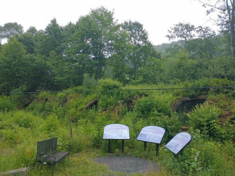
Other nearby markers. At least 8 other markers are within walking distance of this marker. Reclaiming the Future (a few steps from this marker); From Coal to Coke (about 300 feet away, measured in a direct line); Mine Portal No. 29 (approx. 0.4 miles away); Douglas, W. Va. (approx. 0.4 miles away); Black Fork Grade (approx. 0.4 miles away); Coketon Colored School (approx. 0.8 miles away); Engineering Building (approx. 0.8 miles away); The Company Store (approx. 0.8 miles away). Touch for a list and map of all markers in Coketon.
Related markers. Click here for a list of markers that are related to this marker.
Credits. This page was last revised on November 15, 2022. It was originally submitted on November 11, 2022, by Tom Bosse of Jefferson City, Tennessee. This page has been viewed 116 times since then and 19 times this year. Photos: 1, 2, 3, 4, 5. submitted on November 11, 2022, by Tom Bosse of Jefferson City, Tennessee. • Devry Becker Jones was the editor who published this page.
