Bristol, Virginia — The American South (Mid-Atlantic)
Lee Street Baptist Church
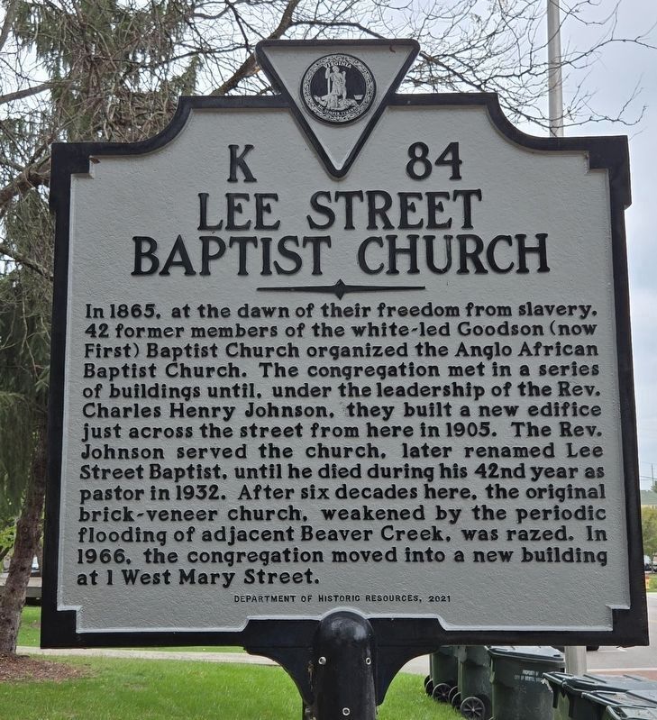
Photographed by Mark Parker, October 4, 2024
1. Close up of Lee Street Baptist Church Marker
Erected 2021 by Virginia Department of Historic Resources. (Marker Number K-84.)
Topics and series. This historical marker is listed in these topic lists: African Americans • Religion & Religious Structures. In addition, it is included in the Virginia Department of Historic Resources (DHR) series list. A significant historical year for this entry is 1865.
Location. 36° 35.818′ N, 82° 10.896′ W. Marker is in Bristol, Virginia. It is on Lee Street north of
this page online

Regionally, this marker is in the Tri-Cities Area, in Southwest Virginia, and in the Blue Ridge Highlands. It is also in the American South, specifically in the Upper South, in Appalachia, and specifically in Southern Appalachia. Globally, it is in North America, the Western Hemisphere, the Western World, and the Anglosphere. Historically, it finds itself in what was once the territory of the Mississippian Culture, one of the original Thirteen Colonies, one of the Confederate States of America, and the Antebellum South.
Other nearby markers. At least 8 other markers are within walking distance of this marker: Dr. Charles Spurgeon Johnson (1893-1956) (here, next to this marker); Founding of Goodson-Bristol Virginia (within shouting distance of this marker); You Are Not Forgotten (within shouting distance of this marker); Bristol Veterans Memorial (within shouting
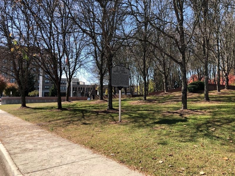
Photographed by Duane and Tracy Marsteller, October 23, 2022
2. Lee Street Baptist Church Marker
Another marker is no longer nearby. The Crooked Road / Bristol (was within shouting distance of this marker but has been replaced with another marker now near it).
Credits. This page was last revised on October 6, 2024. It was originally submitted on November 11, 2022, by Duane and Tracy Marsteller of Murfreesboro, Tennessee. This page has been viewed 681 times since then and 42 times this year. Photos: 1. submitted on October 6, 2024, by Mark Parker of Hickory, North Carolina. 2. submitted on November 11, 2022, by Duane and Tracy Marsteller of Murfreesboro, Tennessee.
