Hurley in Iron County, Wisconsin — The American Midwest (Great Lakes)
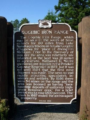
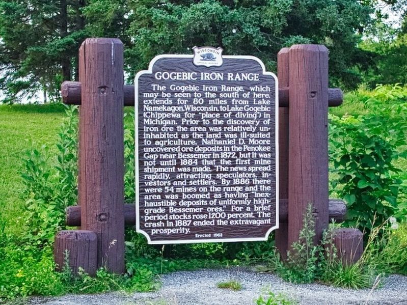
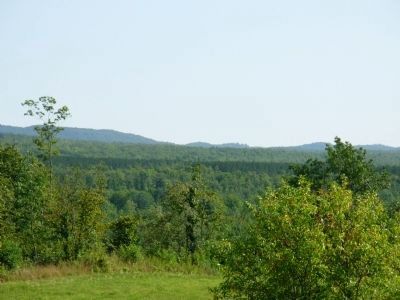
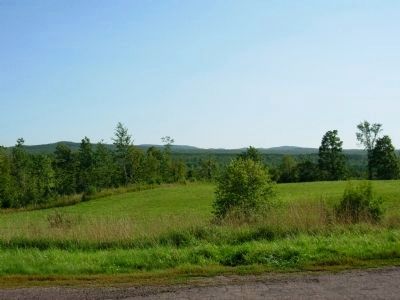
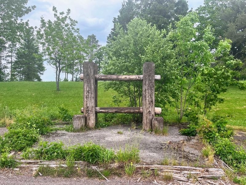
Gogebic Iron Range
Erected 1962 by State Historical Society of Wisconsin. (Marker Number 113.)
Topics and series. This historical marker is listed in these topic lists: Industry & Commerce • Natural Resources. In addition, it is included in the Wisconsin Historical Society series list. A significant historical year for this entry is 1872.
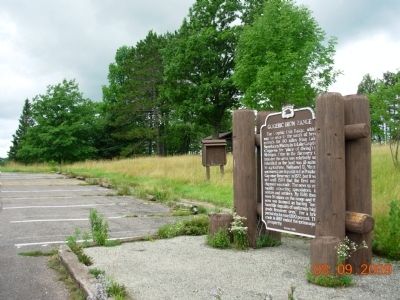
Location. 46° 29.676′ N, 90° 22.673′ W. Marker is in Hurley, Wisconsin, in Iron County. Marker can be reached from U.S. 2, on the right when traveling east. The marker is located in the rest area approximately 10 miles west of Hurley, WI. Touch for map. Marker is in this post office area: Hurley WI 54534, United States of America. Touch for directions.
Other nearby markers. At least 8 other markers are within 9 miles of this marker, measured as the crow flies. Apostle Islands National Lakeshore (approx. 2.3 miles away); Penokee Iron Range Trail - Plummer Mine (approx. 7.2 miles away); Penokee Iron Range Trail - Plummer Location (approx. 7.2 miles away); Penokee Iron Range Trail - Plummer Mine Geologic Layer Cake (approx. 7.2 miles away); Flambeau Trail – Flambeau Trail Crossing (approx. 7.4 miles away); Flambeau Trail - Little Finland (approx. 7.7 miles away); Penokee Iron Range Trail – A Company Town (approx. 8.1 miles away); Penokee Iron Range Trail – Montreal Location (approx. 8.1 miles away).
Related marker. Click here for another marker that is related to this marker. Another Gogebic Iron Range marker, near Bessemer.
Also see . . . Gogebic Iron Range. Production commenced in 1884 at the Colby mine and reached a peak during the 1890's, with from 3 to 4 Mt of ore being shipped per year from the range. Mining ended during the 1960's when the remaining ore became uneconomic. During the period from 1884 to when operations ceased, 300 Mt of ore are estimated to have been mined. (Submitted on May 22, 2010.)
Credits. This page was last revised on August 12, 2023. It was originally submitted on May 18, 2010, by Paul Fehrenbach of Germantown, Wisconsin. This page has been viewed 1,508 times since then and 58 times this year. Last updated on November 12, 2022, by Devon Polzar of Port Washington, Wisconsin. Photos: 1. submitted on May 18, 2010, by Paul Fehrenbach of Germantown, Wisconsin. 2. submitted on August 11, 2023, by Gary Sonnenberg of Waukesha, Wisconsin. 3, 4, 5. submitted on May 18, 2010, by Paul Fehrenbach of Germantown, Wisconsin. 6. submitted on November 12, 2022, by Devon Polzar of Port Washington, Wisconsin. • J. Makali Bruton was the editor who published this page.
