Morganton in Burke County, North Carolina — The American South (South Atlantic)
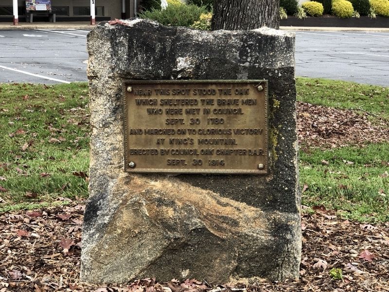
Council Oak
which sheltered the brave men
who here met in council
Sept. 30 1780
and marched on to glorious victory
at King's Mountain.
Erected by Council Oak Chapter D.A.R.
Sept. 30 1914
Erected 1914 by Council Oak Chapter, Daughters of the American Revolution.
Topics and series. This historical marker is listed in these topic lists: Patriots & Patriotism • War, US Revolutionary. In addition, it is included in the Daughters of the American Revolution, and the Historic Trees series lists. A significant historical date for this entry is September 30, 1780.
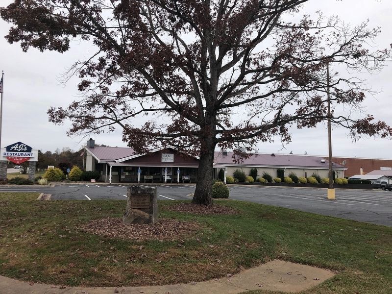
Location. 35° 45.239′ N, 81° 43.005′ W. Marker is in Morganton, North Carolina, in Burke County. Marker is at the intersection of North Green Street (State Road 181) and Bost Road, on the right when traveling west on North Green Street. Touch for map. Marker is at or near this postal address: 101 Bost Rd, Morganton NC 28655, United States of America. Touch for directions.
Other nearby markers. At least 8 other markers are within walking distance of this marker. André Michaux (within shouting distance of this marker); Fort San Juan (within shouting distance of this marker); Waightstill Avery (within shouting distance of this marker); Quaker Meadows (about 700 feet away, measured in a direct line); Quaker Meadows Cemetery Revolutionary War Memorial (approx. 0.3 miles away); Native Americans in North Carolina's Western Piedmont (approx. 0.9 miles away); The Catawba Meadows Archaeology Site (approx. 0.9 miles away); Greenlee Ford (approx. 0.9 miles away). Touch for a list and map of all markers in Morganton.
Regarding Council Oak. Details from Historic Burke Foundation, Inc.:
The place name “Quaker Meadows” was given to the area by Joseph McDowell (1715-1771). He received two Crown Patents in 1849 [sic] and 1780. The acreage in the earlier grant contained a large meadow. Joseph named the area Quaker Meadows after his home in Frederick County, Virginia.
On this property, Joseph’s sons, Revolutionary War leaders Charles and Joseph, gathered the Overmountain Men on September 30, 1780. These patriot soldiers from Virginia, current-day Tennessee, and Wilkes and Surry Counties in North Carolina, met under a giant oak tree now known as the Council Oak and laid plans leading to the defeat of the loyalists under British Major Patrick Ferguson at the Battle of Kings Mountain, a turning point of the Revolutionary War in the South.
Credits. This page was last revised on November 14, 2022. It was originally submitted on November 14, 2022, by Duane and Tracy Marsteller of Murfreesboro, Tennessee. This page has been viewed 199 times since then and 32 times this year. Photos: 1, 2. submitted on November 14, 2022, by Duane and Tracy Marsteller of Murfreesboro, Tennessee.

