
Catawba in Catawba County, North Carolina — The American South (South Atlantic)
Town of Catawba
Incorporated 1893
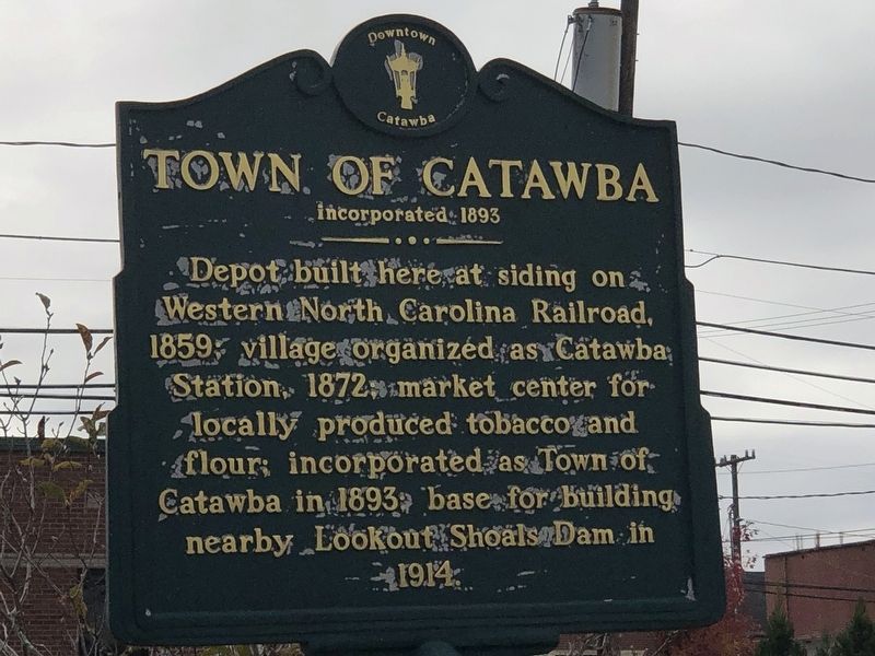
Photographed by Duane and Tracy Marsteller, October 29, 2022
1. Town of Catawba Marker
Topics. This historical marker is listed in these topic lists: Industry & Commerce • Railroads & Streetcars • Settlements & Settlers. A significant historical year for this entry is 1859.
Location. 35° 42.493′ N, 81° 4.546′ W. Marker is in Catawba, North Carolina, in Catawba County. It is on North Main Street (State Road 10) north of 1st Avenue Northwest, on the left when traveling north. Touch for map. Marker is at or near this postal address: 106 N Main St, Catawba NC 28609, United States of America. Touch for directions.

Regionally, this marker is in North Carolina’s Piedmont. It is also in the American South and specifically in the Upper South. Globally, it is in North America, the Western Hemisphere, the Western World, and the Anglosphere. Historically, it finds itself in what was once the territory of the Mississippian Culture, one
this page online
Other nearby markers. At least 8 other markers are within 6 miles of this marker, measured as the crow flies: Town of Catawba Veterans Garden of Honor (about 300 feet away, measured in a direct line); Catawba POW/MIA Monument (about 300 feet away); Catawba High School World War I Memorial (about 300 feet away); Herman Haupt (approx. 2.4 miles away); Bunker Hill Covered Bridge (approx. 2.4 miles away); Covered Bridges (approx. 2.4 miles away); a different marker also named Bunker Hill Covered Bridge (approx. 2.4 miles away); Long Island N.C. (approx. 5.7 miles away). Touch for a list and map of all markers in Catawba.
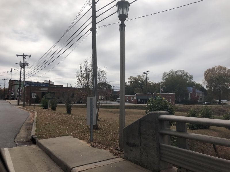
Photographed by Duane and Tracy Marsteller, October 29, 2022
2. Town of Catawba Marker
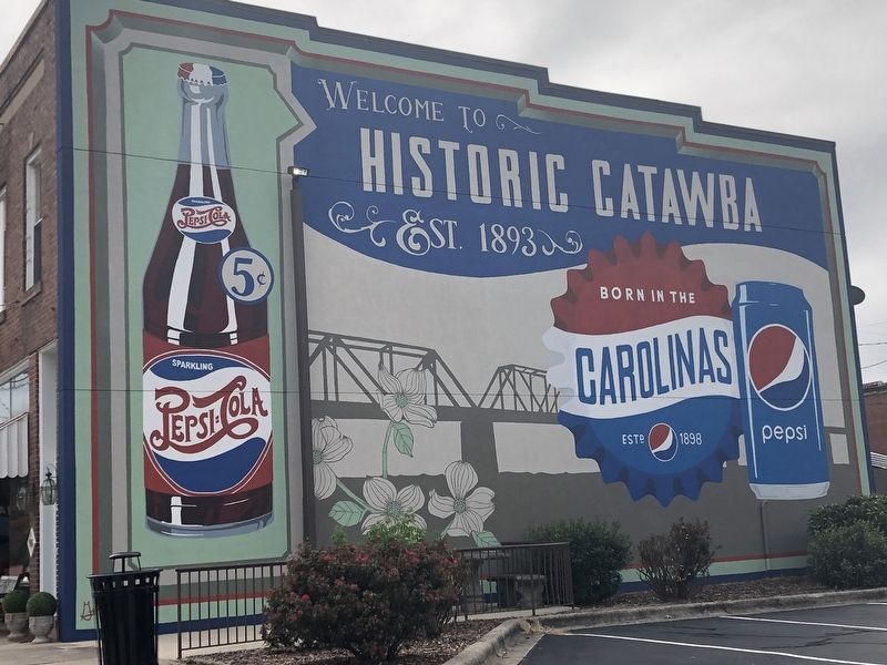
Photographed by Duane and Tracy Marsteller, October 29, 2022
3. Mural in downtown Catawba
Credits. This page was last revised on November 14, 2022. It was originally submitted on November 14, 2022, by Duane and Tracy Marsteller of Murfreesboro, Tennessee. This page has been viewed 446 times since then and 48 times this year. Photos: 1, 2, 3. submitted on November 14, 2022, by Duane and Tracy Marsteller of Murfreesboro, Tennessee.
