
Blowing Rock in Watauga County, North Carolina — The American South (South Atlantic)
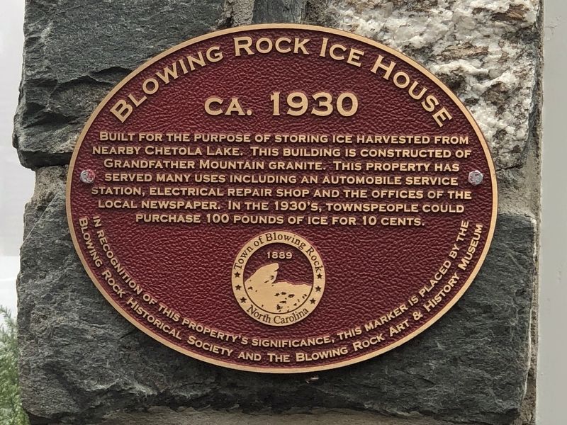
Blowing Rock Ice House
ca. 1930
Photographed by Duane and Tracy Marsteller, October 30, 2022
1. Blowing Rock Ice House Marker
Erected by Blowing Rock Historical Society • Blowing Rock Art and History Museum.
Topics. This historical marker is listed in this topic list: Notable Buildings. A significant historical year for this entry is 1930.
Location. 36° 8.036′ N, 81° 40.638′ W. Marker is in Blowing Rock, North Carolina, in Watauga County. It is on Maple Street east of Main Street (Business U.S. 321), on the right when traveling east. Touch for map. Marker is at or near this postal address: 140 Maple St, Blowing Rock NC 28605, United States of America. Touch for directions.

Regionally, this marker is in North Carolina’s and he Mountains in the High Country. It is also in the American South, specifically in the Upper South, in Appalachia, and specifically in Southern Appalachia. Globally,
this page online
Other nearby markers. At least 8 other markers are within walking distance of this marker: First Baptist Church (about 300 feet away, measured in a direct line); The Old School Bell (about 300 feet away); R.S. Reinhardt Building (about 300 feet away); Blowing Rock Bank (about 400 feet away); Rainey Service Station (about 400 feet away); Blowing Rock Memorial Park (about 400 feet away); In Memory Of Those Who Made The Supreme Sacrifice (about 400 feet away); Miller/Robbins House (about 400 feet away). Touch for a list and map of all markers in Blowing Rock.
Photographed by Duane and Tracy Marsteller, October 30, 2022
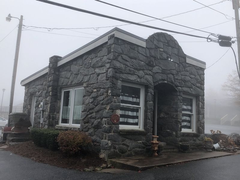
2. Blowing Rock Ice House Marker
Credits. This page was last revised on November 17, 2022. It was originally submitted on November 16, 2022, by Duane and Tracy Marsteller of Murfreesboro, Tennessee. This page has been viewed 307 times since then and 38 times this year. Photos: 1, 2. submitted on November 16, 2022, by Duane and Tracy Marsteller of Murfreesboro, Tennessee.
