Blowing Rock in Watauga County, North Carolina — The American South (South Atlantic)
Blowing Rock Negro Community Church
ca. 1949
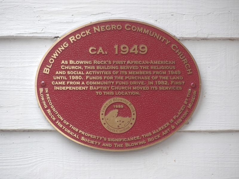
Photographed by Duane and Tracy Marsteller, October 30, 2022
1. Blowing Rock Negro Community Church Marker
Erected by Blowing Rock Historical Society • Blowing Rock Art and History Museum.
Topics. This historical marker is listed in these topic lists: African Americans • Religion & Religious Structures. A significant historical year for this entry is 1949.
Location. 36° 8.138′ N, 81° 39.839′ W. Marker is in Blowing Rock, North Carolina, in Watauga County. It is at the intersection of Possum Hollow Road and Peacock Drive, on the right when traveling north on Possum Hollow Road. Touch for map. Marker is in this post office area: Blowing Rock NC 28605, United States of America. Touch for directions.

Regionally, this marker is in North Carolina’s and he Mountains in the High Country. It is also in the American South, specifically in the Upper South, in Appalachia, and specifically in Southern Appalachia. Globally, it is in
this page online
Other nearby markers. At least 8 other markers are within walking distance of this marker: Mt. Bethel Reformed Church (approx. 0.4 miles away); Dr. Vera Lachman / Camp Catawba (approx. half a mile away); Space Shuttle Columbia/ Watauga County Veterans Memorial (approx. half a mile away); Chetola (approx. 0.6 miles away); Inn at Ragged Gardens (approx. 0.7 miles away); Blowing Rock Ice House (approx. ¾ mile away); Davant Residence (approx. 0.8 miles away); Rainey Service Station (approx. 0.8 miles away). Touch for a list and map of all markers in Blowing Rock.
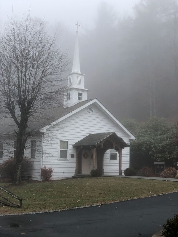
Photographed by Duane and Tracy Marsteller, October 30, 2022
2. Blowing Rock Negro Community Church Marker
Credits. This page was last revised on November 17, 2022. It was originally submitted on November 16, 2022, by Duane and Tracy Marsteller of Murfreesboro, Tennessee. This page has been viewed 506 times since then and 63 times this year. Photos: 1, 2. submitted on November 16, 2022, by Duane and Tracy Marsteller of Murfreesboro, Tennessee.
