Chriesman in Burleson County, Texas — The American South (West South Central)
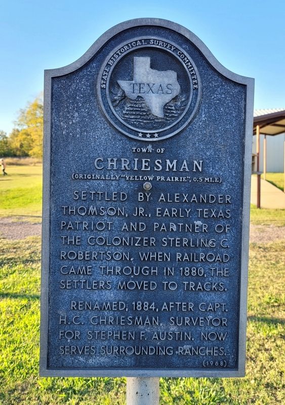
Town of Chriesman
(Originally "Yellow Prairie", 0.5 Mi. E)
Erected 1968 by State Historical Survey Committee. (Marker Number 7564.)
Topics. This historical marker is listed in these topic lists: Railroads & Streetcars • Settlements & Settlers. A significant historical year for this entry is 1880.
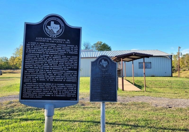
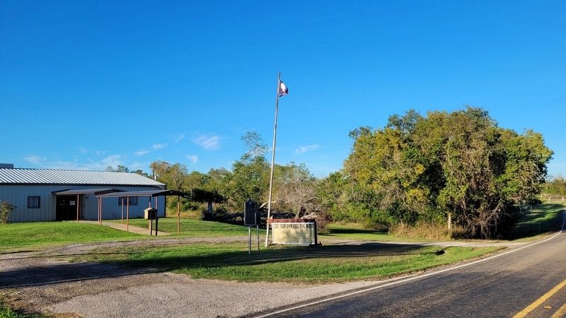
Location. 30° 35.984′ N, 96° 46.237′ W. Marker is in Chriesman, Texas, in Burleson County. Marker is on Farm to Market Road 1363, 0.1 miles east of Front Street (County Highway 315), on the right when traveling west. The marker is located in front of the Chriesman Community Center. Touch for map. Marker is at or near this postal address: 404 FM1363, Caldwell TX 77836, United States of America. Touch for directions.
Other nearby markers. At least 8 other markers are within 7 miles of this marker, measured as the crow flies. Alexander Thomson, Jr. (here, next to this marker); Horatio Chriesman (approx. 0.6 miles away); City of Caldwell (approx. 6.2 miles away); Kings Highway Camino Real — Old San Antonio Road (approx. 6.3 miles away); Burleson County (approx. 6.3 miles away); First United Methodist Church (approx. 6˝ miles away); Burleson County, C.S.A. (approx. 6.6 miles away); Early Settlers of Burleson County in the Texas War for Independence (approx. 6.6 miles away). Touch for a list and map of all markers in Chriesman.
Also see . . . Chriesman, TX. Texas State Historical Association
Chriesman is on the Burlington Northern and Santa Fe Railway just west of State Highway 36 seven miles northwest of Caldwell in northwestern Burleson County. In the 1830s Alexander Thomson, Jr., brought a group of colonists to the site. They named the settlement Yellow Prairie for the high yellow grass that covered the surrounding prairie. The community became a station on the Gulf, Colorado and Santa Fe when it built through the area in 1880. Yellow Prairie had a post office from 1880 to 1884. In 1885 the post office and community were renamed Chriesman for Horatio Chriesman, a pioneer in the region who spent the last years of his life in the area.(Submitted on November 17, 2022, by James Hulse of Medina, Texas.)
Credits. This page was last revised on November 17, 2022. It was originally submitted on November 17, 2022, by James Hulse of Medina, Texas. This page has been viewed 143 times since then and 30 times this year. Photos: 1, 2, 3. submitted on November 17, 2022, by James Hulse of Medina, Texas.


