Richmond in Madison County, Kentucky — The American South (East South Central)
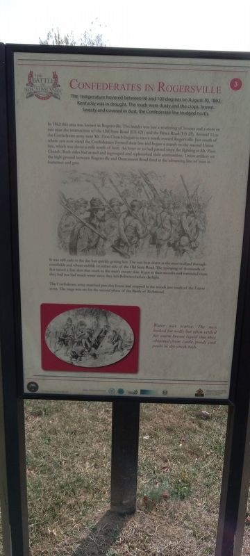
Confederates In Rogersville
The Battle of Richmond, Kentucky
In 1862 this area was known as Rogersville. The hamlet was just a scattering of houses and a store or two near the intersection of the Old State Road (US 421) and the Berea Road (US 25). Around 11AM the Confederate army near Mt. Zion Church began to move north toward Rogersville. Just south of where you now stand the Confederates formed their line and began a march on the second Union line, which was about a mile north of here. An hour or so had passed since the fighting at Mt. Zion Church. Both sides had rested and regrouped and replenished their ammunition. Union artillery on the high ground between Rogersville and Duncannon Road fired at the advancing line of men in butternut and gray.
It was still early in the day but quickly getting hot. The sun beat down as the men trudged through cornfields and wheat stubble on either side of the Old State Road. The tramping of thousands of feet raised a fine dust that stuck to the men's sweaty skin. It got in their mouths and reminded them they had not had much water since they left Bobtown before daylight.
The Confederate army marched past this house and stopped in the woods just south of the Union army. The stage was set for the second phase of the Battle of Richmond.
Water was scarce. The men looked for wells but often settled for warm brown liquid that they obtained from cattle ponds and pools in dry creek beds. (Marker Number 3.)
Topics. This historical marker is listed in this topic list: War, US Civil. A significant historical date for this entry is August 30, 1862.
Location. 37° 41.058′ N, 84° 15.484′ W. Marker is in Richmond, Kentucky, in Madison County. Marker is on Battlefield Memorial Highway, on the right when traveling north. Touch for map. Marker is at or near this postal address: 101 Battlefield Memorial Hwy, Richmond KY 40475, United States of America. Touch for directions.
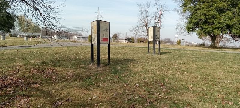
Other nearby markers. At least 8 other markers are within walking distance of this marker. Reforming The Union Line (here, next to this marker); An Inexperienced Army (here, next to this marker); Advance To Kingstown (here, next to this marker); Engagement At Bobtown (here, next to this marker); Encampment At Bobstown (here, next to this marker); Battle of Richmond (here, next to this marker); Patrick Ronayne Cleburne (a few steps from this marker); General Mahlon Manson (a few steps from this marker). Touch for a list and map of all markers in Richmond.
Credits. This page was last revised on November 21, 2022. It was originally submitted on November 18, 2022, by Craig Doda of Napoleon, Ohio. This page has been viewed 92 times since then and 13 times this year. Photos: 1, 2. submitted on November 18, 2022, by Craig Doda of Napoleon, Ohio. • Bill Pfingsten was the editor who published this page.

