Tybee Island in Chatham County, Georgia — The American South (South Atlantic)
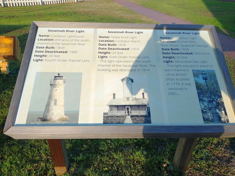
Savannah River Light
Name: Cockspur Lighthouse
Location: entrance of the south channel of the Savannah River
Date Built: 1849
Date Deactivated: 1909
Height: 45 feet
Light: Fourth-Order Fresnel Lens
Savannah River Light
Name: Tybee Knoll Light
Location: Cockspur Island
Date Built: 1878
Date Deactivated: 1914
Height: 24 feet
Light: Sixth-Order Fresnel Lens - This light operated in the south channel of the Savannah River. The building was destroyed in 1914
Savannah River Light
Name: Ole Harbor Light
Location: Emmet Park, River Street, Savannah Georgia
Date Built: 1858
Date Deactivated: Still Active
Height: 25 feet
Light: Decorative Gas Light - This light was put in place to warn mariners of six British ships scuttled in 1779. It was restored in 2001.
Topics. This historical marker is listed in these topic lists: Architecture • Waterways & Vessels.
Location. 32° 1.341′ N, 80° 50.734′ W. Marker is on Tybee Island, Georgia, in Chatham County. Marker can be reached from Meddin Drive south of Taylor Street, on the right when traveling south. Locateda at the Tybee Island Light Station & Museum. Touch for map. Marker is at or near this postal address: 30 Meddin Dr, Tybee Island GA 31328, United States of America. Touch for directions.
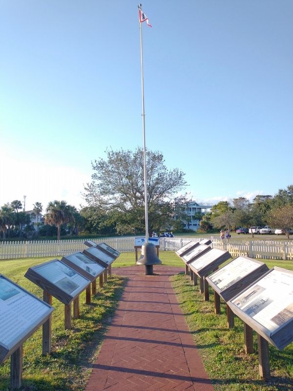
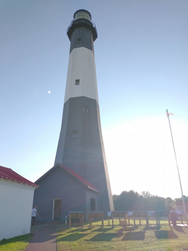
Other nearby markers. At least 8 other markers are within walking distance of this marker. Tybee Front Range Light • Front Range Light (here, next to this marker); The 3rd Tybee Island Day Mark Lighthouse 1773-1861 • Damage to the 3rd Tybee Lighthouse 1861 (here, next to this marker); Journal of the Light-House Station (here, next to this marker); The 3rd Tybee Lighthouse Survives Destruction (here, next to this marker); The 1st Tybee Island Day Mark • The 2nd Tybee Island Day Mark 1742-1768 (here, next to this marker); Life at the Tybee Island Light Station (here, next to this marker); The 4th Tybee Island Lighthouse 1867-Present (here, next to this marker); Who Controls the Tybee Lighthouse? (here, next to this marker). Touch for a list and map of all markers in Tybee Island.
Also see . . . Tybee Island Light Station & Museum. (Submitted on November 23, 2022.)
Credits. This page was last revised on November 23, 2022. It was originally submitted on November 18, 2022, by Craig Doda of Napoleon, Ohio. This page has been viewed 63 times since then and 8 times this year. Photos: 1, 2, 3. submitted on November 18, 2022, by Craig Doda of Napoleon, Ohio. • Bernard Fisher was the editor who published this page.


