Tybee Island in Chatham County, Georgia — The American South (South Atlantic)
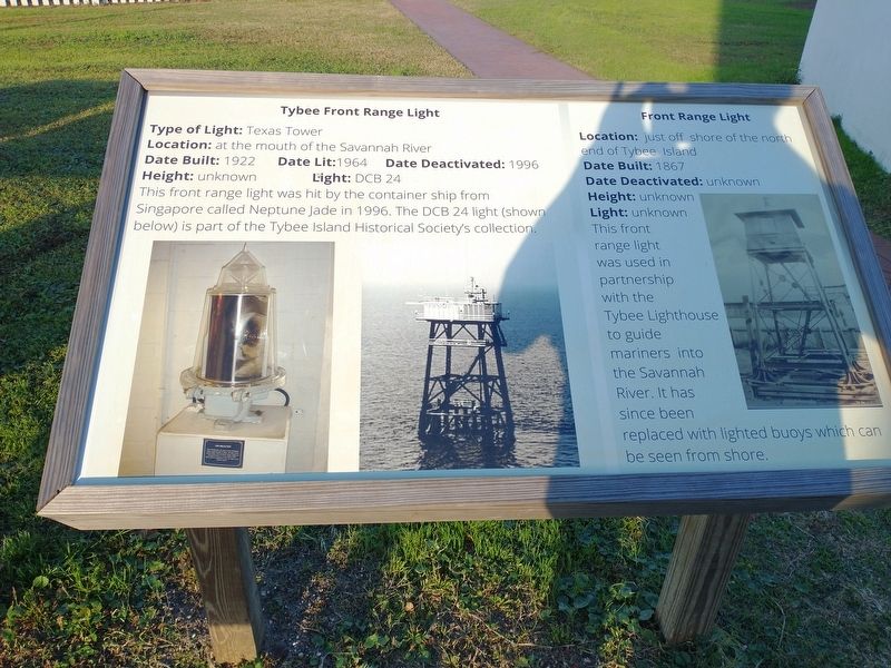
Tybee Front Range Light • Front Range Light
Location: at the mouth of the Savannah River
Date Built: 1922 Date Lit:1964 Date Deactivated: 1996
Height: unknown Light: DCB 24
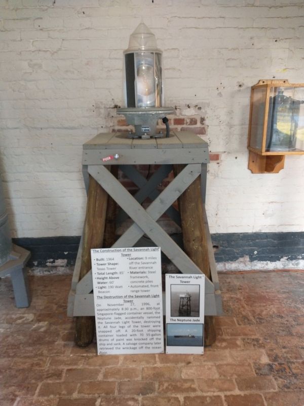
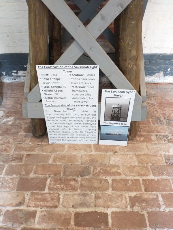
This front range light was hit by the container ship from Singapore called Neptune Jade in 1996. The DCB 24 light (shown below) is part of the Tybee Island Historical Society's collection.
Front Range Light
Location: just off shore of the north end of Tybee Island
Date Built: 1867
Date Deactivated: unknown
Height: unknown
Light: unknown
This front range light was used in partnership with the Tybee Lighthouse to guide mariners into the Savannah River. It has since been replaced with lighted buoys which can be seen from shore.
Topics. This historical marker is listed in this topic list: Waterways & Vessels. A significant historical year for this entry is 1922.
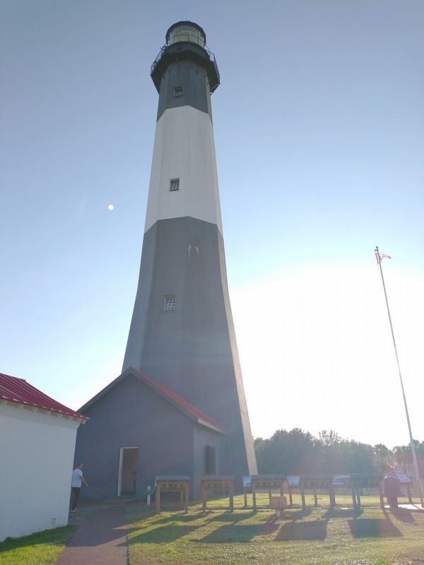
Location. 32° 1.341′ N, 80° 50.733′ W. Marker is on Tybee Island, Georgia, in Chatham County. Marker can be reached from Meddin Drive south of Taylor Street, on the right when traveling south. Located at the Tybee Island Light Station & Museum. Touch for map. Marker is at or near this postal address: 30 Meddin Dr, Tybee Island GA 31328, United States of America. Touch for directions.
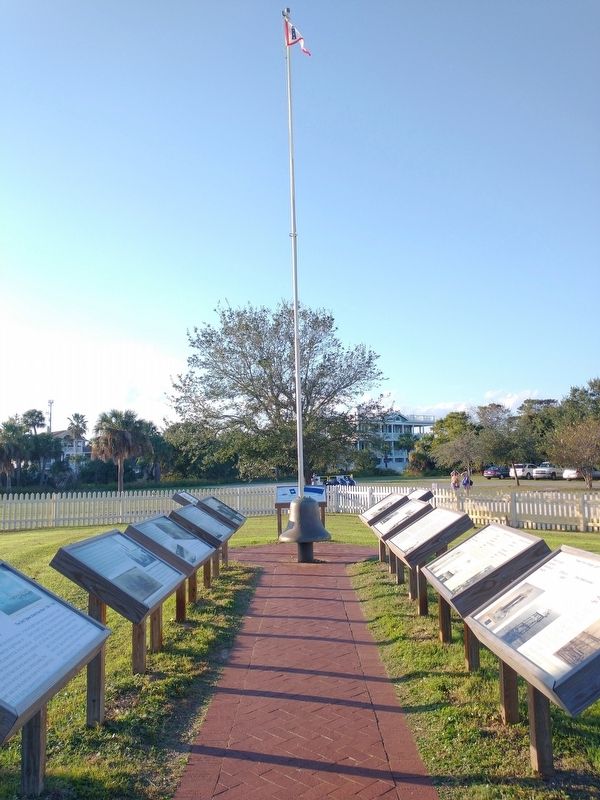
Other nearby markers. At least 8 other markers are within walking distance of this marker. Savannah River Light (here, next to this marker); The 1st Tybee Island Day Mark • The 2nd Tybee Island Day Mark 1742-1768 (here, next to this marker); The 3rd Tybee Island Day Mark Lighthouse 1773-1861 • Damage to the 3rd Tybee Lighthouse 1861 (here, next to this marker); The 3rd Tybee Lighthouse Survives Destruction (here, next to this marker); Journal of the Light-House Station (here, next to this marker); Fuel Storage Building 1890 (here, next to this marker); Life at the Tybee Island Light Station (here, next to this marker); The 4th Tybee Island Lighthouse 1867-Present (here, next to this marker). Touch for a list and map of all markers in Tybee Island.
Also see . . . Tybee Island Light Station & Museum. (Submitted on November 23, 2022.)
Credits. This page was last revised on November 23, 2022. It was originally submitted on November 18, 2022, by Craig Doda of Napoleon, Ohio. This page has been viewed 79 times since then and 14 times this year. Photos: 1, 2, 3, 4, 5. submitted on November 18, 2022, by Craig Doda of Napoleon, Ohio. • Bernard Fisher was the editor who published this page.
