Norwood in Delaware County, Pennsylvania — The American Northeast (Mid-Atlantic)
Norwood
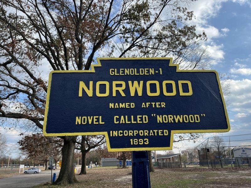
novel called "Norwood"
Incorporated
1893
Topics. This historical marker is listed in these topic lists: Arts, Letters, Music • Settlements & Settlers. A significant historical year for this entry is 1893.
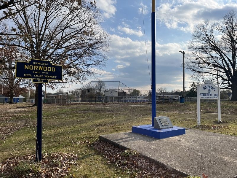
Location. 39° 53.151′ N, 75° 17.58′ W. Marker is in Norwood, Pennsylvania, in Delaware County. It is at the intersection of East Amosland Road and East Winona Avenue, on the right when traveling east on East Amosland Road. Touch for map. Marker is at or near this postal address: 270 E Amosland Rd, Norwood PA 19074, United States of America. Touch for directions.

Regionally, this marker is in Southeast Pennsylvania and in Greater Philadelphia. It is also in the American Northeast and in the Mid-Atlantic. Globally, it is in North America, the Western Hemisphere, the Western World, and the Anglosphere. Historically, it finds itself in what was once the Haudenosaunee (Iroquois) Confederacy, New Netherland, and one of the original Thirteen Colonies.
Other nearby markers. At least 8 other markers are within walking distance of this marker: Norwood Memorial Park (here, next to this marker);
this page online
Other markers no longer nearby. Even History Changes (was approx. 0.9 miles away but has been replaced with another marker now near it); a different marker also named Darby Creek Then and Now (was approx. 0.9 miles away but has been replaced with another marker now near it); Welcome to The Morton Homestead (was approx. 0.9 miles away but has been replaced with another marker now near it).
Credits. This page was last revised on November 20, 2022. It was originally submitted on November 20, 2022, by Devry Becker Jones of Washington, District of Columbia. This page has been viewed 300 times since then and 28 times this year. Photos: 1, 2. submitted on November 20, 2022, by Devry Becker Jones of Washington, District of Columbia.
