Plymouth Township near Norristown in Montgomery County, Pennsylvania — The American Northeast (Mid-Atlantic)
Black Horse
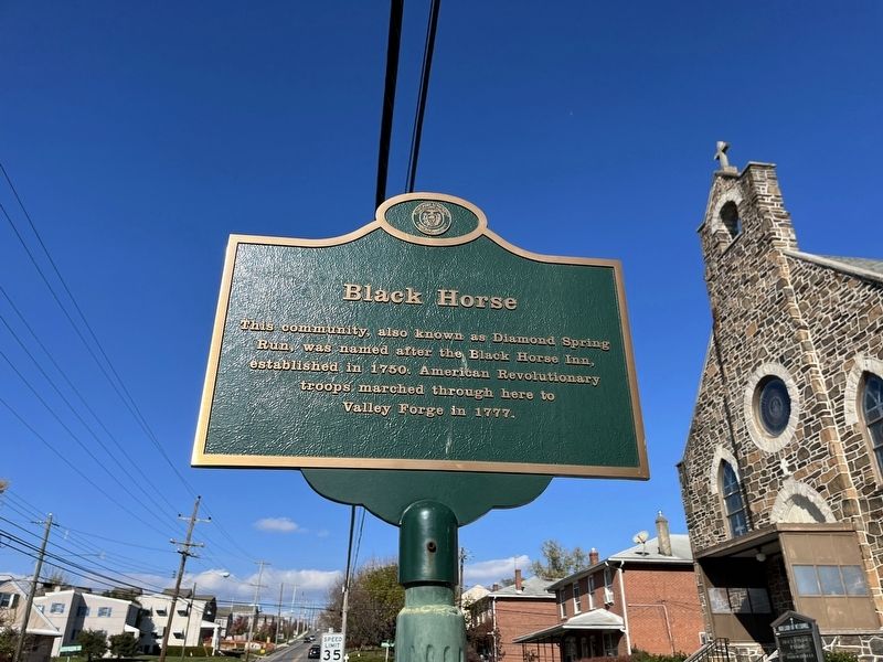
Erected by Plymouth Township, Pennsylvania.
Topics. This historical marker is listed in these topic lists: Colonial Era • Industry & Commerce • Settlements & Settlers • War, US Revolutionary. A significant historical year for this entry is 1750.
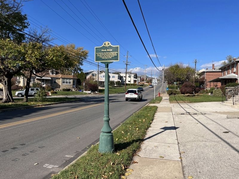
Location. 40° 6.598′ N, 75° 19.192′ W. Marker is near Norristown, Pennsylvania, in Montgomery County. It is in Plymouth Township. It is on Fairfield Road (County Road 3013) just south of Jefferson Street when traveling north. Touch for map. Marker is at or near this postal address: 454 Fairfield Rd, Plymouth Meeting PA 19462, United States of America. Touch for directions.

Regionally, this marker is in Southeast Pennsylvania and in Greater Philadelphia. It is also in the American Northeast and in the Mid-Atlantic. Globally, it is in North America, the Western Hemisphere, the Western World, and the Anglosphere. Historically, it finds itself in what was once the Haudenosaunee
this page online
Other nearby markers. At least 8 other markers are within 2 miles of this marker, measured as the crow flies: Mogeetown (approx. ¼ mile away); Montgomery County Court House (approx. 1.3 miles away); Montgomery County Civil War Memorial (approx. 1.3 miles away); September 11 2001 (approx. 1.3 miles away); David Rittenhouse (approx. 1.3 miles away); Military Order of the Purple Heart (approx. 1.3 miles away); Montgomery County Vietnam War Memorial (approx. 1.3 miles away); Elk (approx. 1.8 miles away). Touch for a list and map of all markers in Norristown.
Credits. This page was last revised on February 7, 2023. It was originally submitted on November 22, 2022, by Devry Becker Jones of Washington, District of Columbia. This page has been viewed 831 times since then and 88 times this year. Photos: 1, 2. submitted on November 22, 2022, by Devry Becker Jones of Washington, District of Columbia.
