Hot Springs in Garland County, Arkansas — The American South (West South Central)
Hot Springs Reservation Established
| — | Hot Springs Central Avenue Historic District | — |
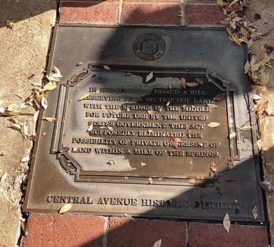
Photographed by Duane and Tracy Marsteller, November 5, 2022
1. Hot Springs Reservation Established Marker
Erected by City of Hot Springs.
Topics. This historical marker is listed in this topic list: Government & Politics. A significant historical year for this entry is 1832.
Location. 34° 30.994′ N, 93° 3.222′ W. Marker is in Hot Springs, Arkansas, in Garland County. It can be reached from Central Avenue, on the right when traveling south. Marker is on the sidewalk in front of Aristocrat Manor Apartments. Touch for map. Marker is at or near this postal address: 238 Central Ave, Hot Springs National Park AR 71901, United States of America. Touch for directions.

Regionally, this marker is in the Ouachita Mountains. It is also in the American South and specifically in the Upper South. Globally, it is in North America, the Western Hemisphere, the Western World, and the Anglosphere. Historically, it finds itself in what was once the territory of the Mississippian Culture,
this page online
Other nearby markers. At least 8 other markers are within walking distance of this marker: Medical Arts Building (a few steps from this marker); The Arlington Hotel (within shouting distance of this marker); Temporary State Capitol (within shouting distance of this marker); Wade Building (within shouting distance of this marker); Hot Action in Hot Springs (within shouting distance of this marker); A Landscaped Resort (within shouting distance of this marker); DeSoto Camp (within shouting distance of this marker); 260 (about 300 feet away, measured in a direct line). Touch for a list and map of all markers in Hot Springs.
Regarding Hot Springs Reservation Established. The 1832 law established the “Hot Springs Reservation,” which set aside the land around the hot springs for public use. However, Congress did not establish a way for the federal government to monitor and manage the Reservation. As a result, squatters, early settlers and entrepreneurs staked ownership claims on the Reservation. The competing ownership claims led to decades
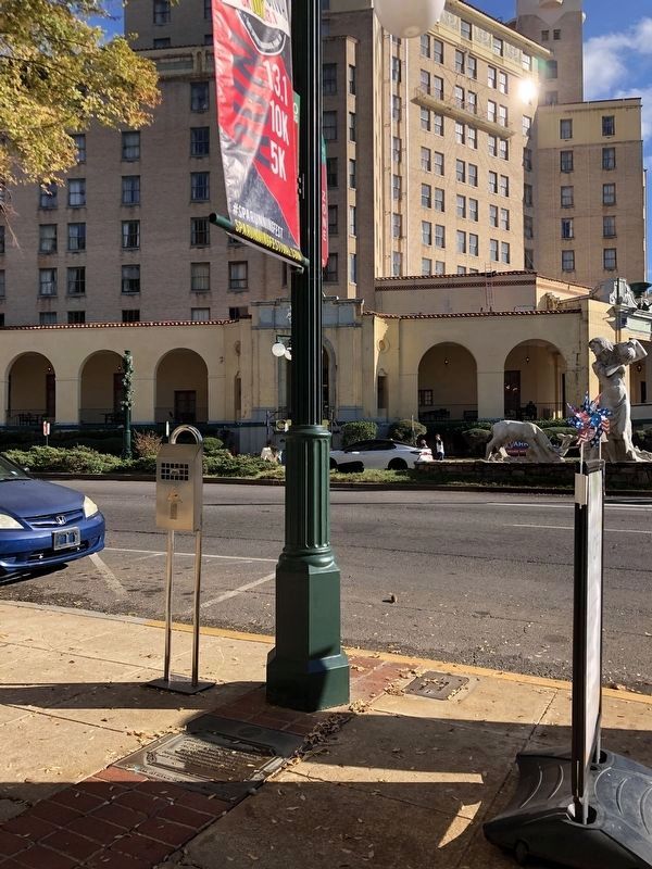
Photographed by Duane and Tracy Marsteller, November 5, 2022
2. Hot Springs Reservation Established Marker
Also see . . . Uncovering Ral City. The squatter's camp known as Ral City influenced Hot Springs' transformation into the 20th century resort of Spa City. (National Park Service) (Submitted on November 22, 2022, by Duane and Tracy Marsteller of Murfreesboro, Tennessee.)
Credits. This page was last revised on November 25, 2022. It was originally submitted on November 22, 2022, by Duane and Tracy Marsteller of Murfreesboro, Tennessee. This page has been viewed 286 times since then and 20 times this year. Photos: 1, 2. submitted on November 22, 2022, by Duane and Tracy Marsteller of Murfreesboro, Tennessee.
