Damascus in Washington County, Virginia — The American South (Mid-Atlantic)
Wood Products Industry
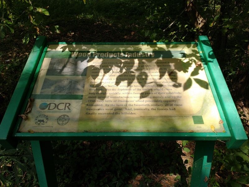
Photographed by Tom Bosse, September 3, 2022
1. Wood Products Industry Marker
Erected by Virginia Department of Conservation & Recreation.
Topics. This historical marker is listed in these topic lists: Horticulture & Forestry • Industry & Commerce • Railroads & Streetcars. A significant historical year for this entry is 1906.
Location. 36° 38.522′ N, 81° 47.982′ W.
this page online

Regionally, this marker is in the Tri-Cities Area, in Southwest Virginia, and in the Blue Ridge Highlands. It is also in the American South, specifically in the Upper South, in Appalachia, and specifically in Southern Appalachia. Globally, it is in North America, the Western Hemisphere, the Western World, and the Anglosphere. Historically, it finds itself in what was once the territory of the Mississippian Culture, one of the original Thirteen Colonies, one of the Confederate States of America, and the Antebellum South.
Other nearby markers. At least 8 other markers are within walking distance of this marker: Water Tanks (approx. half a mile away); Damascus (approx. 0.6 miles away); Laurel Avenue, The Main Street of Damascus (approx. 0.6 miles away); Founders of Damascus (approx. 0.7 miles away); Damascus Old Mill (approx.
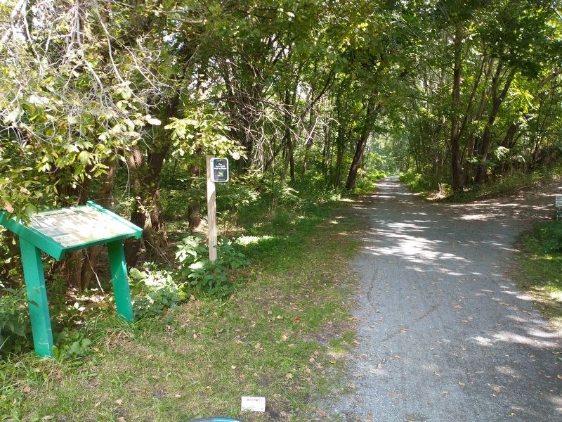
Photographed by Tom Bosse, September 3, 2022
2. Wood Products Industry Marker
Also see . . . The Virginia Creeper National Recreation Trail. (Submitted on November 23, 2022.)
Credits. This page was last revised on February 2, 2023. It was originally submitted on November 23, 2022, by Tom Bosse of Jefferson City, Tennessee. This page has been viewed 140 times since then and 17 times this year. Photos: 1, 2. submitted on November 23, 2022, by Tom Bosse of Jefferson City, Tennessee. • Bernard Fisher was the editor who published this page.
