Havre de Grace in Harford County, Maryland — The American Northeast (Mid-Atlantic)
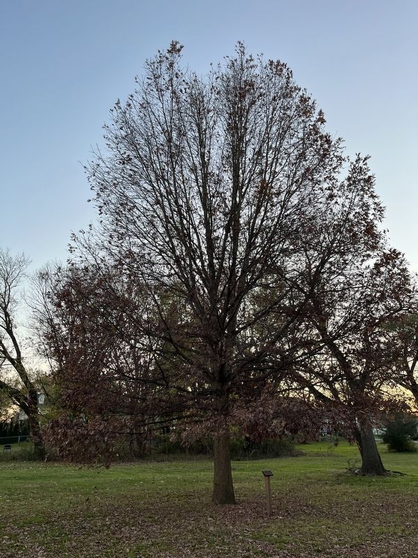
This Wye Oak
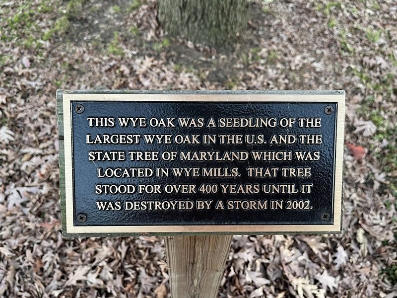
Topics. This historical marker is listed in this topic list: Horticulture & Forestry. A significant historical year for this entry is 2002.
Location. 39° 33.361′ N, 76° 5.675′ W. Marker is in Havre de Grace, Maryland, in Harford County. It is on Park Drive just west of Conesteo Street, on the left when traveling west. Touch for map. Marker is at or near this postal address: 802 Conesteo St, Havre de Grace MD 21078, United States of America. Touch for directions.

Regionally, this marker is in the Baltimore Metro Region and in Central Maryland. It is also in the American Mid-Atlantic, in the Chesapeake Bay Region, and on the Eastern Seaboard. Globally, it is in the North Atlantic Region, North America, the Western Hemisphere, the Western World, and the Anglosphere. Historically, it finds itself in what was once one of the original Thirteen Colonies and also the Antebellum South.
Other nearby markers. At least
this page online
Other markers no longer nearby. The Susquehanna and Tidewater Canal (was about 300 feet away, measured in a direct line but has been replaced with another marker now near it); How a Lock Works (was about 400 feet away but has been replaced with another marker now near it); Nineteenth Century Travel (was about 500 feet away but has been confirmed missing); Under Attack (was approx. 0.3 miles away but has been permanently removed).
Credits. This page was last revised on November 23, 2022. It was originally submitted on November 23, 2022, by Devry Becker Jones of Washington, District of Columbia. This page has been viewed 166 times since then and 17 times this year. Photos: 1, 2. submitted on November 23, 2022, by Devry Becker Jones of Washington, District of Columbia.
