Abingdon in Washington County, Virginia — The American South (Mid-Atlantic)
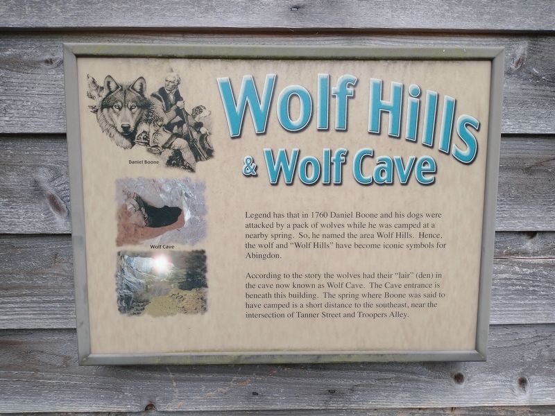
Wolf Hills & Wolf Cave
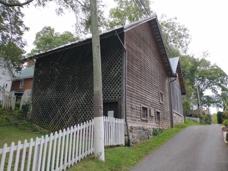
According to the story the wolves had their "lair" (den) in the cave now known as Wolf Cave. The Cave entrance is beneath this building. The spring where Boon was said to have camped is a short distance to the southeast, near the intersection of Tanner Street and Troopers Alley.
Topics. This historical marker is listed in these topic lists: Colonial Era • Exploration. A significant historical year for this entry is 1760.
Location. 36° 42.799′ N, 81° 58.115′ W. Marker is in Abingdon, Virginia, in Washington County. Marker is at the intersection of Plumb Alley and Whites Alley, on the right when traveling east on Plumb Alley. Touch for map. Marker is in this post office area: Abingdon VA 24210, United States of America. Touch for directions.
Other nearby markers. At least 8 other markers are within walking distance of this marker. Wolf Hills Cave House (within shouting distance of this marker); Wolf Cave (within shouting distance of this marker); William Delap / Gabriel Stickley (within shouting distance of this marker); William King / Ann Berry (within shouting distance of this marker); First Washington County Courthouse (about 300 feet away, measured in a direct line); Washington House (about 300 feet away); The Tavern (about 300 feet away); The Tavern – 1779 (about 300 feet away). Touch for a list and map of all markers in Abingdon.
Related markers. Click here for a list of markers that are related to this marker.
Credits. This page was last revised on February 2, 2023. It was originally submitted on November 23, 2022, by Tom Bosse of Jefferson City, Tennessee. This page has been viewed 424 times since then and 154 times this year. Photos: 1, 2, 3. submitted on November 23, 2022, by Tom Bosse of Jefferson City, Tennessee. • Bernard Fisher was the editor who published this page.


