Hot Springs in Garland County, Arkansas — The American South (West South Central)
“An Open Log Cabin and a Few Huts”
— Hot Springs Central Avenue Historic District —
Inscription.
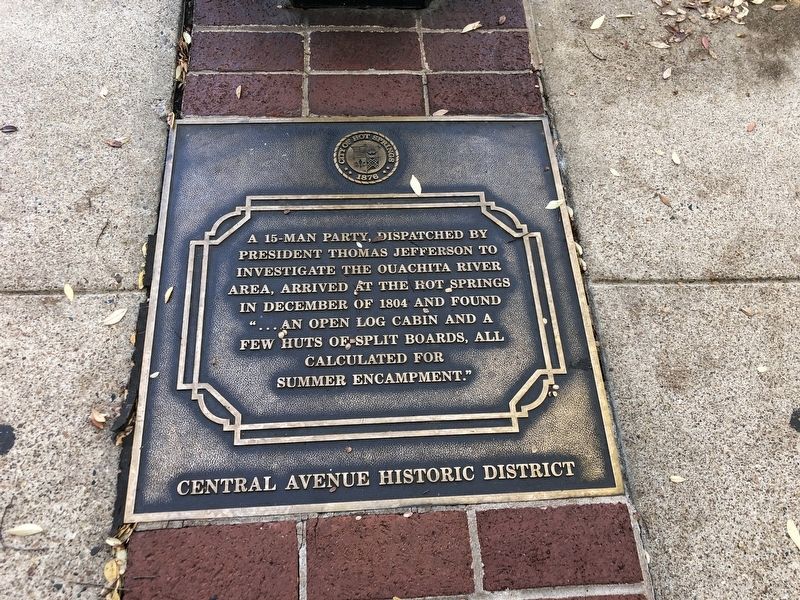
A 15-man party, dispatched by President Thomas Jefferson to investigate the Ouachita River area, arrived at the hot springs in December of 1804 and found “… an open log cabin and a few huts of split boards, all calculated for summer encampment.”
Erected by City of Hot Springs.
Topics. This historical marker is listed in this topic list: Exploration. A significant historical month for this entry is December 1804.
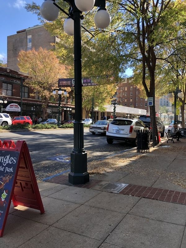
Location. 34° 31.094′ N, 93° 3.335′ W. Marker is in Hot Springs, Arkansas, in Garland County. Marker is at the intersection of Central Avenue (Arkansas Route 7) and Whittington Avenue, on the right when traveling south on Central Avenue. Marker is on the sidewalk in front of a Christmas store. Touch for map. Marker is at or near this postal address: 118 Central Ave, Hot Springs National Park AR 71901, United States of America. Touch for directions.
Other nearby markers. At least 8 other markers are within walking distance of this marker. 122 (a few steps from this marker); 126 (within shouting distance of this marker); Hot Springs' Resort Beginnings (within shouting distance of this marker); Hot Springs' First White Settler (within shouting distance of this marker); Hot Springs' First Bathhouse (about 300 feet away, measured in a direct line); Site of the Founding Convention Assemblies of God April 2-12, 1914 (about 300 feet away); 201 Central Avenue (about 400 feet away); Stan Musial (about 400 feet away). Touch for a list and map of all markers in Hot Springs.
Also see . . . Hunter-Dunbar Expedition. Encyclopedia of Arkansas website entry:
Thomas Jefferson sent four expeditions to explore the vast Louisiana Purchase territory. Among them was a team led by William Dunbar and Dr. George Hunter, sent to explore the “Washita” River and “the hot springs” in what is now Arkansas and Louisiana. (Submitted on November 24, 2022, by Duane and Tracy Marsteller of Murfreesboro, Tennessee.)
Credits. This page was last revised on September 14, 2023. It was originally submitted on November 23, 2022, by Duane and Tracy Marsteller of Murfreesboro, Tennessee. This page has been viewed 77 times since then and 19 times this year. Photos: 1, 2. submitted on November 23, 2022, by Duane and Tracy Marsteller of Murfreesboro, Tennessee.

