Havre de Grace in Harford County, Maryland — The American Northeast (Mid-Atlantic)
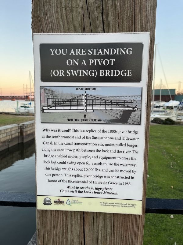
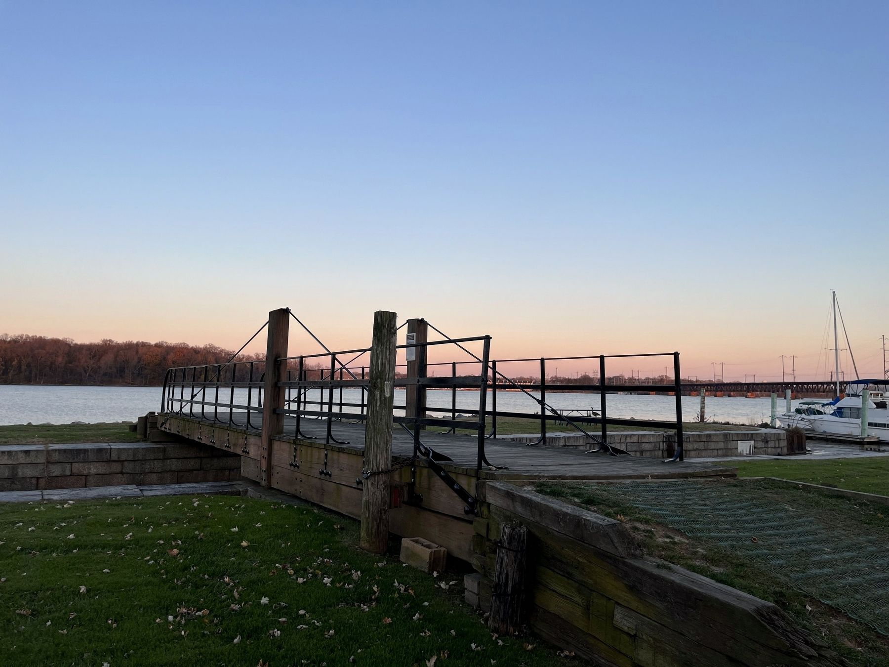
You Are Standing On A Pivot (Or Swing) Bridge

Photographed By Devry Becker Jones (CC0), November 19, 2022
1. You Are Standing On A Pivot (Or Swing) Bridge Marker
Why was it used? This is a replica of the 1800s pivot bridge at the southernmost end of the Susquehanna and Tidewater Canal. In the canal transportation era, mules pulled barges along the canal tow path between the lock and the river. The bridge enabled mules, people, and equipment to cross the lock but could swing open for vessels to use the waterway. This bridge weighs about 10,000 lbs. and can be moved by one person. This replica pivot bridge was constructed in honor of the Bicentennial of Havre de Grace in 1985.
Come visit the Lock House Museum.
Erected by Lock House Museum; Maryland Heritage Areas Authority; Lower Susquehanna Heritage Greenway.
Topics. This historical marker is listed in these topic lists: Animals • Bridges & Viaducts • Industry & Commerce • Waterways & Vessels. A significant historical year for this entry is 1985.
Location. 39° 33.368′ N, 76° 5.58′ W. Marker is in Havre de Grace, Maryland, in Harford County. Marker is on Charles Montgomery Way east of Conesteo Street, on the right when traveling east. Touch for map. Marker is at or near this postal address: 817 Conesteo St, Havre de Grace MD 21078, United States of America. Touch for directions.
Other nearby markers. At least 8 other markers are within walking distance of this marker . How A Lock Works (a few steps from this marker); The Susquehanna and Tidewater Canal (within shouting distance of this marker); The Lafayette Trail (about 300 feet away, measured in a direct line); The Lock House (about 300 feet away); This Wye Oak (about 300 feet away); a different marker also named This Wye Oak (about 400 feet away); Under Attack (approx. ¼ mile away); Sergeant Alfred B. Hilton Memorial (approx. ¼ mile away). Touch for a list and map of all markers in Havre de Grace.
Credits. This page was last revised on November 23, 2022. It was originally submitted on November 23, 2022, by Devry Becker Jones of Washington, District of Columbia. This page has been viewed 79 times since then and 14 times this year. Photos: 1, 2. submitted on November 23, 2022, by Devry Becker Jones of Washington, District of Columbia.
