Near Whitetop in Grayson County, Virginia — The American South (Mid-Atlantic)
Old Growth Forest Remnants
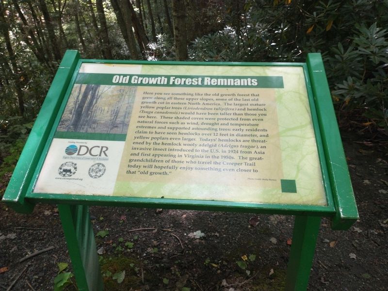
Photographed by Tom Bosse, September 3, 2022
1. Old Growth Forest Remnants Marker
Erected by Virginia Department of Conservation & Recreation.
Topics. This historical marker is listed in this topic list: Horticulture & Forestry. A significant historical year for this entry is 1924.
Location. 36° 36.481′ N, 81° 38.411′ W. Marker is near Whitetop, Virginia, in Grayson
this page online

Regionally, this marker is in Southwest Virginia and in the Blue Ridge Highlands. It is also in the American South, specifically in the Upper South, in Appalachia, and specifically in Southern Appalachia. Globally, it is in North America, the Western Hemisphere, the Western World, and the Anglosphere. Historically, it finds itself in what was once the territory of the Mississippian Culture, one of the original Thirteen Colonies, one of the Confederate States of America, and the Antebellum South.
Other nearby markers. At least 8 other markers are within 3 miles of this marker, measured as the crow flies: Trestle Construction (approx. ¼ mile away); The Offset (approx. 0.3 miles away); Green Cove Station (approx. 0.8 miles away); “Maud Bows to The Virginia Creeper” (approx. 0.8 miles away); “Virginia Creeper” Railroad (approx. one mile away); Christmas Tree Farms
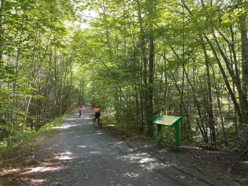
Photographed by Tom Bosse, September 3, 2022
2. Old Growth Forest Remnants Marker
Also see . . . The Virginia Creeper National Recreation Trail. (Submitted on November 25, 2022.)
Credits. This page was last revised on November 25, 2022. It was originally submitted on November 24, 2022, by Tom Bosse of Jefferson City, Tennessee. This page has been viewed 299 times since then and 29 times this year. Photos: 1, 2. submitted on November 24, 2022, by Tom Bosse of Jefferson City, Tennessee. • Bernard Fisher was the editor who published this page.
