Westwood Pecan Lake in Little Rock in Pulaski County, Arkansas — The American South (West South Central)
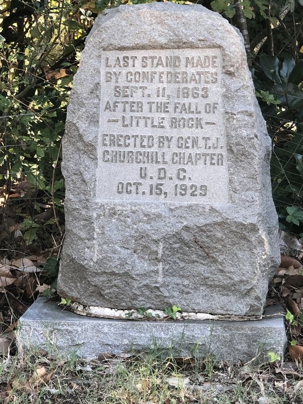
Confederates' Last Stand
Erected 1929 by Gen. T.J. Churchill Chapter, United Daughters of the Confederacy.
Topics and series. This memorial is listed in this topic list: War, US Civil. In addition, it is included in the United Daughters of the Confederacy series list. A significant historical date for this entry is September 11, 1863.
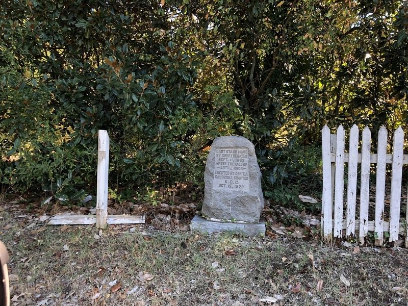
Location. 34° 41.209′ N, 92° 23.873′ W. Marker is in Little Rock, Arkansas, in Pulaski County. It is in Westwood Pecan Lake. Memorial is on Stagecoach Road (U.S. 70) ¾ mile east of Interstate 430, on the right when traveling east. Marker is along the fence line. Touch for map. Marker is at or near this postal address: 6915 Stagecoach Rd, Little Rock AR 72204, United States of America. Touch for directions.
Other nearby markers. At least 8 other markers are within 6 miles of this marker, measured as the crow flies. In Memory of All Veterans of Foreign Wars (approx. 4.1 miles away); Lynching in America / Lynching in Little Rock (approx. 4.6 miles away); Bro. Samuel Proctor Massie Sr. (approx. 4.6 miles away); Buhler House (approx. 4.9 miles away); Over the Jumps (approx. 5.7 miles away); Wild Boar (approx. 5.7 miles away); War Memorial Golf Course (approx. 5.7 miles away); The Geographical Center of Arkansas (approx. 5.8 miles away). Touch for a list and map of all markers in Little Rock.
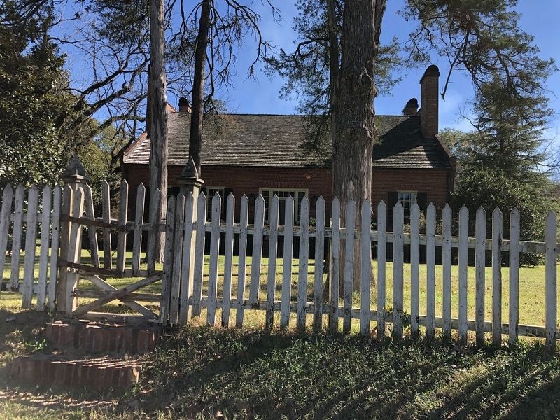
Regarding Confederates' Last Stand. In the last fighting of the Little Rock Campaign, pursuing Union troops skirmished with the rear guard of retreating Confederate soldiers here at Ten Mile House. The house, so-named because it was 10 miles from downtown Little Rock on the Old Southwest Trail, was built by Archibald McHenry sometime between 1822 and 1835. Union troops used the dwelling as a military outpost during their occupation of Little Rock. David O. Dodd, a 17-year-old Confederate spy, was held prisoner overnight in the smokehouse here before being taken to Little Rock for trial and subsequent execution. The house was listed on the National Register of Historic Places in 1970.
Credits. This page was last revised on February 10, 2023. It was originally submitted on November 25, 2022, by Duane and Tracy Marsteller of Murfreesboro, Tennessee. This page has been viewed 172 times since then and 36 times this year. Photos: 1, 2, 3. submitted on November 25, 2022, by Duane and Tracy Marsteller of Murfreesboro, Tennessee.


