West Davenport in Scott County, Iowa — The American Midwest (Upper Plains)
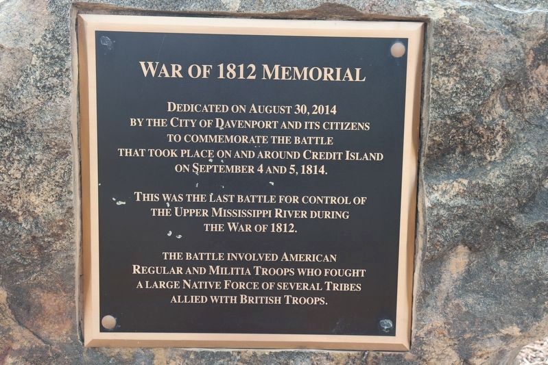
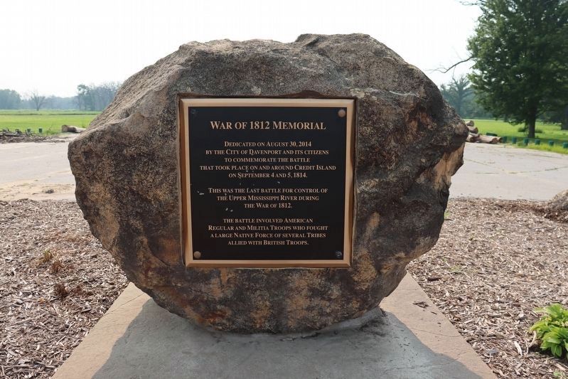
War of 1812 Memorial
Photographed by Trevor L Whited, July 16, 2023
1. War of 1812 Memorial
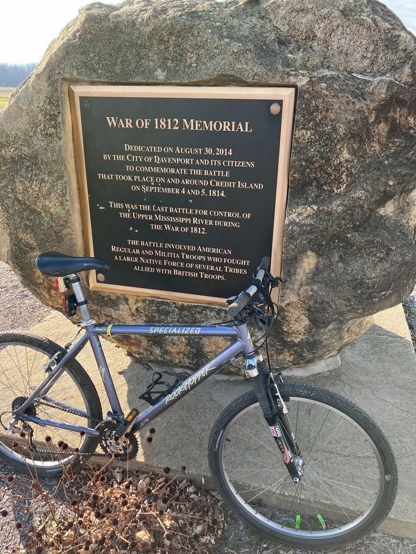
This was the last battle for control of the upper Mississippi River during the War of 1812.
The battle involved American regular and militia troops who fought a large native force of several tribes allied with British troops.
Erected 2014 by City of Davenport and its citizens.
Topics. This memorial is listed in this topic list: War of 1812. A significant historical date for this entry is September 4, 1814.
Location. 41° 30.087′ N, 90° 36.484′ W. Memorial is in Davenport, Iowa, in Scott County. It is in West Davenport. It is on Credit Island Road half a mile south of US 61 (localy named West River Drive) (U.S. 61), on the right when traveling south. Location is on the Mississippi River Trail bicycle route. Credit Island is an excellent place to ride bicycles with a scenic paved river side trail that connects to downtown Davenport, the Village of East Davenport and Bettendorf Iowa. Just off the Great River Road. Touch for map. Memorial is at or near this
this page online

Regionally, this memorial is in the Quad Cities and in Eastern Iowa. It is also in the American Midwest, in the Corn Belt, and in the Great River Road Region. Globally, it is in North America, the Western Hemisphere, the Western World, and the Anglosphere. Historically, it finds itself in what was once the territory of the Mississippian Culture and also the Louisiana Purchase.
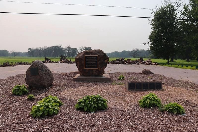
Other nearby markers. At least 8 other markers are within 2 miles of this marker, measured as the crow flies: Credit Island (here, next to this marker); Connor House (approx. 1.9 miles away in Illinois); Fort Armstrong Hotel (approx. 1.9 miles away in Illinois); Leon “Bix” Beiderbecke (approx. 1.9 miles away); Petersen Memorial Music Pavilion (approx. 1.9 miles away); Chippiannock Cemetery (approx. 2 miles away in Illinois); Soldiers and Sailors Monument (approx. 2 miles away in Illinois); Blackhawk Purchase Treaty Commemorative (approx. 2 miles away). Touch for a list and map of all markers in Davenport.
Photographed by Trevor L Whited, July 16, 2023
2. War of 1812 Memorial
Photographed by Rick Paulos, November 24, 2022
3. War of 1812 Memorial Marker
Photographed by Trevor L Whited, July 16, 2023
4. War of 1812 Memorial
Credits. This page was last revised on July 22, 2023. It was originally submitted on November 25, 2022, by Rick Paulos of Cedar Rapids, Iowa. This page has been viewed 418 times since then and 52 times this year. Photos: 1, 2. submitted on July 20, 2023, by Trevor L Whited of Kokomo, Indiana. 3. submitted on November 25, 2022, by Rick Paulos of Cedar Rapids, Iowa. 4. submitted on July 20, 2023, by Trevor L Whited of Kokomo, Indiana. • Andrew Ruppenstein was the editor who published this page.
