Near Sioux Falls in Lincoln County, South Dakota — The American Midwest (Upper Plains)
The Missing Bison
October 30, 2022
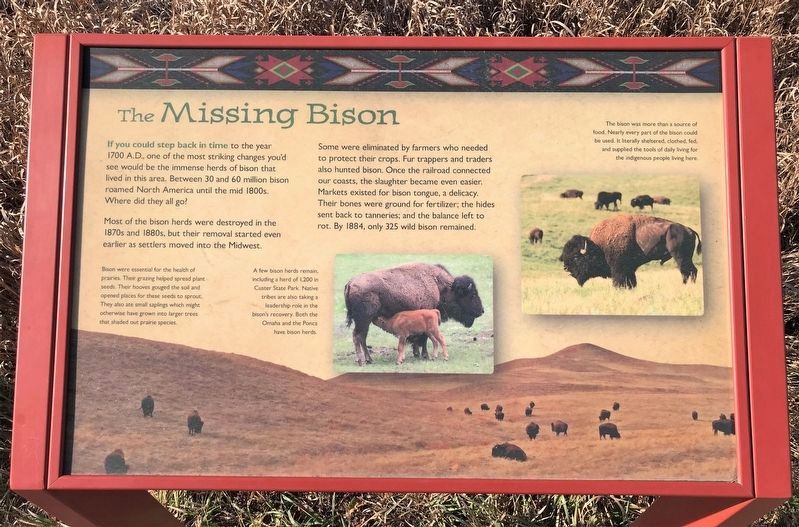
1. The Missing Bison Marker
Most of the bison herds were destroyed in the 1870s and 1880s, but their removal started even earlier as settlers moved into the Midwest.
Some were eliminated by farmers who needed to protect their crops. Fur trappers and traders also hunted bison. Once the railroad connected our coasts, the slaughter became even easier. Markets existed for bison tongue, a delicacy. Their bones were ground for fertilizer; the hides sent back to tanneries; and the balance left to rot. By 1884, only 325 wild bison remained.
Bison were essential for the health of prairies. Their grazing helped spread plant seeds. Their hooves gouged the soil and opened places for these seeds to sprout. They also ate small saplings which might otherwise have grown into larger trees that shaded out prairie species.
A few bison herds remain, including a herd of 1,200 in Custer State Park. Native tribes are also taking a leadership role in the bison's recovery. Both the Omaha and the Ponca have bison herds.
The bison was more than a source of food. Nearly every part of the bison could be used. It literally sheltered, clothed, fed, and supplied the tools of daily living for the indigenous people living here.
Topics.
this page online
Location. 43° 28.913′ N, 96° 35.654′ W. Marker is near Sioux Falls, South Dakota, in Lincoln County. It can be reached from 480th Avenue (County Highway 135) ¼ mile south of 269th Street (County Highway 102). Located on the Prairie Ridge Loop Trail in Good Earth State Park (fee area). Touch for map. Marker is at or near this postal address: 26924 480th Ave, Sioux Falls SD 57108, United States of America. Touch for directions.

Regionally, this marker is in East River. It is also in the American Midwest, in the Lewis & Clark Corridor, in the Corn Belt, on the prairies, and on the Northern Plains. Globally, it is in North America, the Western Hemisphere, the Western World, and the Anglosphere. Historically, it finds itself in what was once Rupert’s Land and also the Louisiana Purchase.
Other nearby markers. At least 8 other markers are within walking distance of this marker: New Arrivals (approx. 0.3 miles away); 1980s (approx. 0.3 miles away); Why the Name “Good Earth”?
March 7, 2025
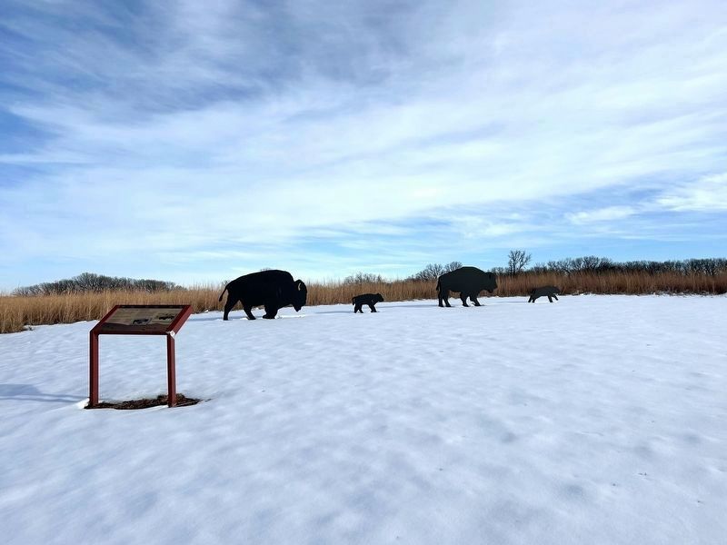
2. The Missing Bison Marker
More about this marker. This marker was previously located at 43° 28.96′ N, 96° 35.478′ W, along the Bur Oak Trail in Good Earth State Park.
October 30, 2022
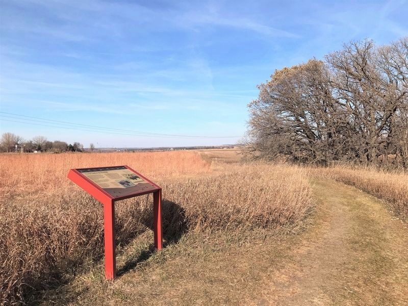
3. The Missing Bison Marker at its previous location
Credits. This page was last revised on May 26, 2025. It was originally submitted on November 25, 2022. This page has been viewed 229 times since then and 12 times this year. Photos: 1. submitted on November 25, 2022. 2. submitted on May 26, 2025. 3. submitted on November 25, 2022.
