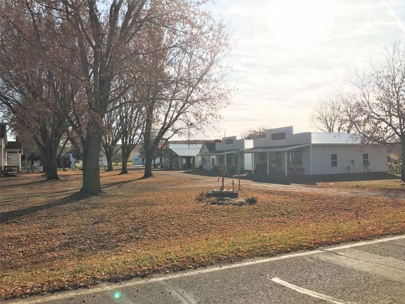
Granite in Lyon County, Iowa — The American Midwest (Upper Plains)
Community of Granite
Sioux Township, Lyon Co., IA
— Formerly Known as Iuka —
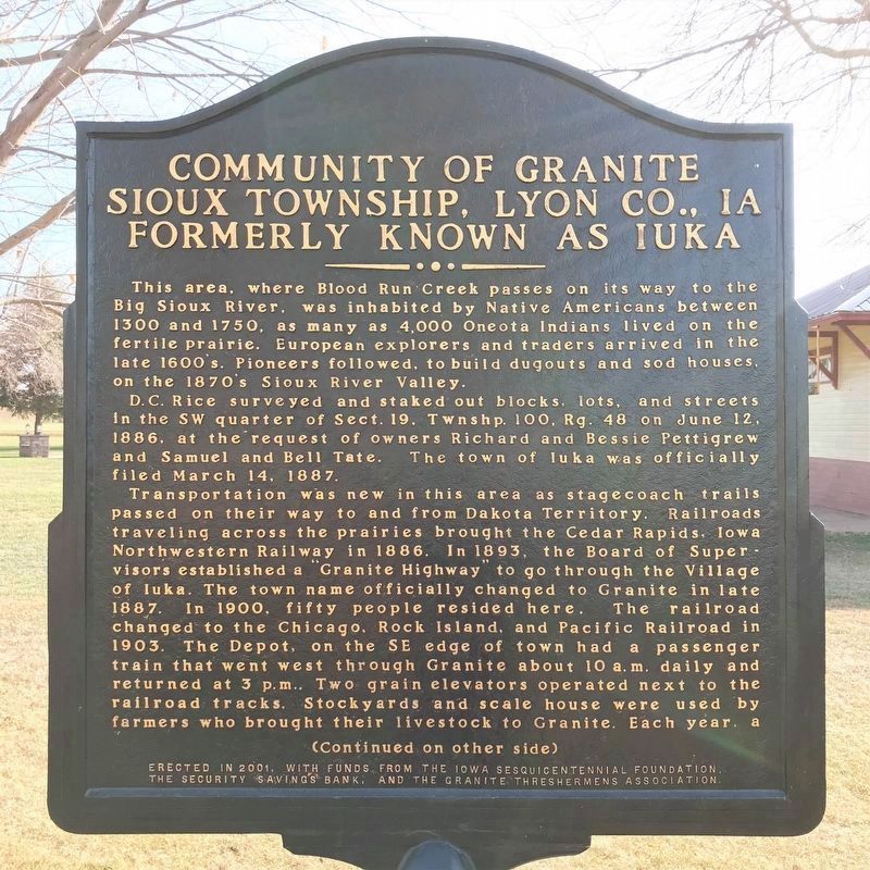
D. C. Rice surveyed and staked out blocks, lots, and streets in the SW quarter of Sect. 19, Twnshp. 100, Rg. 48 on June 12, 1886, at the request of owners Richard and Bessie Pettigrew and Samuel and Bell Tate. The town of Iuka was officially filed March 14, 1887.
Transportation was new in this area as stagecoach trails passed on their way to and from Dakota Territory. Railroads traveling across the prairies brought the Cedar Rapids, Iowa Northwestern Railway in 1886. In 1893, the Board of Supervisors established a "Granite Highway" to go through the Village of Iuka. The town name officially changed to Granite in late 1887. In 1900, fifty people resided here. The railroad changed to the Chicago, Rock Island, and Pacific Railroad in 1903. The Depot, on the SE edge of town had a passenger train that went west through Granite about 10 a.m. daily and returned at 3 p.m.. Two grain elevators operated next to the railroad tracks. Stockyards and scale house were used by farmers who brought their livestock to Granite. Each year, a special trainload of cattle was shipped to the Chicago Union Stockyards and had right-of-way over all rail traffic for the remarkable 36 hour trip. These shipments reached their peak shortly after WWI.
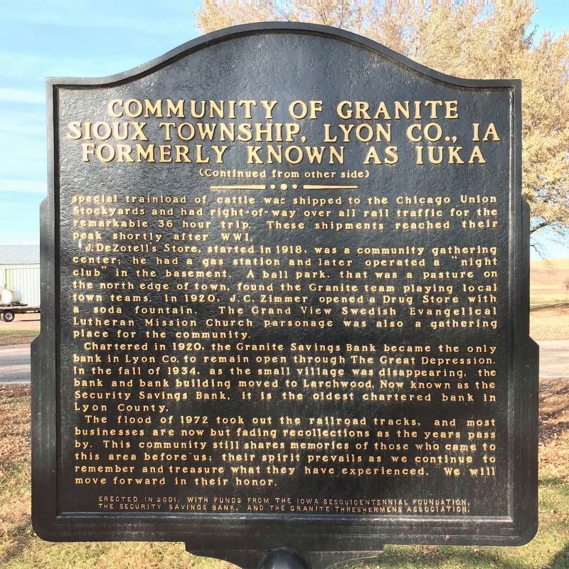
J. DeZotell's Store, started in 1918, was a community gathering center; he had a gas station and later operated a "night club" in the basement. A ball park, that was a pasture on the north edge of town, found the Granite team playing local town teams. In 1920, J. C. Zimmer opened a Drug Store with a soda fountain. The Grand View Swedish Evangelical Lutheran Mission Church parsonage was also a gathering place for the community.
Chartered in 1920, the Granite Savings Bank became the only bank in Lyon Co. to remain open through The Great Depression. In the fall of 1934, as the small village was disappearing, the bank and bank building moved to Larchwood. Now known as the Security Savings Bank, it is the oldest chartered bank in Lyon County.
The flood of 1972 took out the railroad tracks, and most businesses are now but fading recollections as the years pass by. This community still shares memories of those who came to this area before us; their spirit prevails as we continue to remember and treasure what they have experienced. We will move forward in their honor.
Erected 2001 by the Iowa Sesquicentennial Foundation, the Security Savings Bank, and the Granite Threshermens Association.
Topics. This historical marker is listed in these topic lists: Native Americans • Settlements & Settlers. A significant historical date for this entry is June 12, 1886.
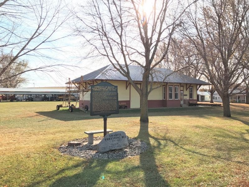
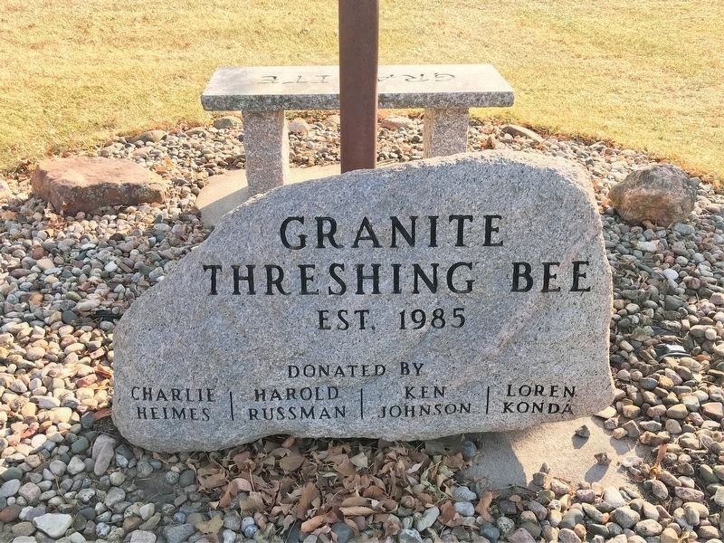
Location. 43° 28.151′ N, 96° 33.46′ W. Marker is in Granite, Iowa, in Lyon County. Marker is on 125th Street (County Highway K10) 0.4 miles east of Apple Avenue, on the right when traveling east. Located on the north side of the Granite Threshing Bee grounds. Touch for map. Marker is at or near this postal address: 1144 125th St, Larchwood IA 51241, United States of America. Touch for directions.
Other nearby markers. At least 8 other markers are within 2 miles of this marker, measured as the crow flies. Looking Into the Past (approx. 1.6 miles away in South Dakota); A Landscape Shaped by Glaciers (approx. 1.6 miles away in South Dakota); A Trading Center (approx. 1.6 miles away in South Dakota); New Arrivals (approx. 1.8 miles away in South Dakota); Bow Hunting (approx. 1.8 miles away in South Dakota); Sacred Images (approx. 1.9 miles away in South Dakota); 1714 (approx. 1.9 miles away in South Dakota); 1600s (approx. 1.9 miles away in South Dakota).
Credits. This page was last revised on November 27, 2022. It was originally submitted on November 26, 2022. This page has been viewed 125 times since then and 24 times this year. Photos: 1, 2. submitted on November 26, 2022. 3, 4, 5. submitted on November 27, 2022.
