Madelia in Watonwan County, Minnesota — The American Midwest (Upper Plains)
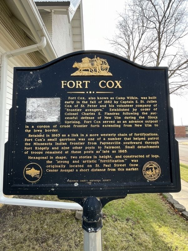
Fort Cox
Fort Cox, also known as Camp Wilkin, was built early in the fall of 1862 by Captain E. St. Julien Cox of St. Peter and his volunteer company of “frontier avengers.” Established by order of Colonel Charles E. Flandrau following the successful defense of New Ulm during the Sioux Uprising, Fort Cox served as an advance outpost in a cordon of crude frontier forts extending from New Ulm to the Iowa border.
Retained in 1863 as a link in a more westerly chain of fortifications, Fort Cox’s small garrison was one of a number that helped patrol the Minnesota Indian frontier from Paynesville southward through Fort Ridgely and nine other posts to Fairmont. Small detachments of troops remained at these posts as late as 1865.
Hexagonal in shape, two stories in height, and constructed of logs, the “strong and artistic fortification” was originally located on St. Paul Street (now Center Avenue) a short distance from this marker.
Erected 1966 by Watonwan County Historical Society.
Topics. This historical marker is listed in these topic lists: Forts and Castles • Settlements & Settlers • Wars, US Indian. A significant historical year for this entry is 1862.
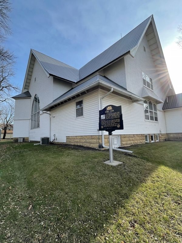
Location. 44° 3.128′ N, 94° 25.009′ W. Marker is in Madelia, Minnesota , in Watonwan County. Marker is on Center Avenue North, on the right when traveling north. Touch for map. Marker is at or near this postal address: 106 Center Ave N, Madelia MN 56062, United States of America. Touch for directions.
Other nearby markers. At least 8 other markers are within 8 miles of this marker, measured as the crow flies. Watonwan County's First Courthouse (about 600 feet away, measured in a direct line); To the Citizenry of Madelia – 1876 (about 700 feet away); Truss Bridge #6527 (approx. 0.9 miles away); Ole Boxrud (approx. 5.6 miles away); Rosendale Church (approx. 6.1 miles away); Asle Sorbel's Ride (approx. 7.1 miles away); John Armstrong (approx. 7.1 miles away); Norwegian Stabbur (approx. 7.6 miles away). Touch for a list and map of all markers in Madelia.
Credits. This page was last revised on December 5, 2022. It was originally submitted on October 5, 2022, by Liz Koele of St. Paul, Minnesota. This page has been viewed 172 times since then and 56 times this year. Last updated on November 29, 2022, by McGhiever of Minneapolis, Minnesota. Photos: 1, 2. submitted on October 5, 2022, by Liz Koele of St. Paul, Minnesota. • Bill Pfingsten was the editor who published this page.

