Lumsden in Lumsden No. 189, Saskatchewan — The Prairie Region (North America)
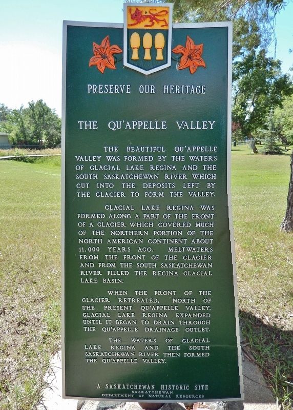
The Qu'Appelle Valley
A Saskatchewan Historic Site
— Preserve Our Heritage —
The beautiful Qu’Appelle Valley was formed by the waters of Glacial Lake Regina and the South Saskatchewan River which cut into the deposits left by the glacier to form the valley.
Glacial Lake Regina was formed along a part of the front of a glacier which covered much of the northern portion of the North American continent about 11,000 years ago. Meltwaters from the front of the glacier and from the South Saskatchewan River filled the Regina Glacial Lake Basin.
When the front of the glacier retreated, north of the present Qu’Appelle Valley, Glacial Lake Regina expanded until it began to drain through the Qu’Appelle drainage outlet.
The waters of Glacial Lake Regina and the South Saskatchewan River then formed the Qu’Appelle Valley.
Erected by Saskatchewan Department of Natural Resources.
Topics. This historical marker is listed in this topic list: Natural Features.
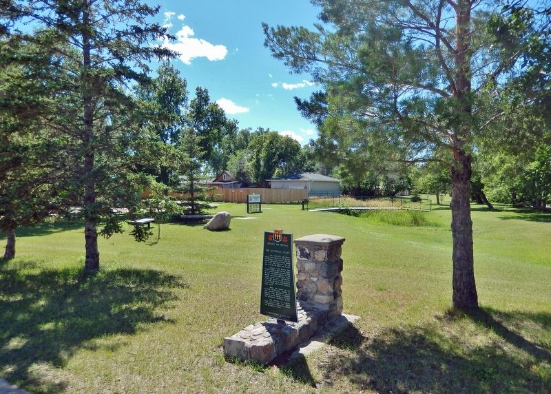
Location. 50° 38.97′ N, 104° 52.013′ W. Marker is in Lumsden, Saskatchewan, in Lumsden No. 189. Marker is on James Street (Provincial Highway 641) just north of Fifth Avenue, on the left when traveling north. Marker is located in Lumsden Lion's Park. Touch for map. Marker is at or near this postal address: 50 Fifth Avenue, Lumsden SK S0G 3C0, Canada. Touch for directions.
Also see . . .
1. The Qu'Appelle Valley.
The Qu’Appelle Valley may be southern Saskatchewan’s most defining feature. Gouged by ancient glacial meltwaters ages ago, and now stretching over halfway across the province, the beautiful river and valley provide a striking contrast to the plains immediately to the north and south.(Submitted on November 30, 2022, by Cosmos Mariner of Cape Canaveral, Florida.)
2. Qu’Appelle Valley.
After the last glacier melted, the Qu’Appelle Valley was entirely filled with water. As time and gravity had their effects on the landscape the valley was filled in parts with alluvium. A large number of Europeans settled the region in the 18th, 19th, and 20th centuries. This developed the area for habitation, and the landscape changed again. Now in the Qu’Appelle region there are many towns, villages, provincial parks, and farms. Because of the glaciers that created the Qu’Appelle Valley and their subsequent activities, the area is now home to some of the best farmland in Canada.(Submitted on November 30, 2022, by Cosmos Mariner of Cape Canaveral, Florida.)
Credits. This page was last revised on December 1, 2022. It was originally submitted on November 30, 2022, by Cosmos Mariner of Cape Canaveral, Florida. This page has been viewed 122 times since then and 22 times this year. Photos: 1, 2. submitted on November 30, 2022, by Cosmos Mariner of Cape Canaveral, Florida.

