Reading in Berks County, Pennsylvania — The American Northeast (Mid-Atlantic)
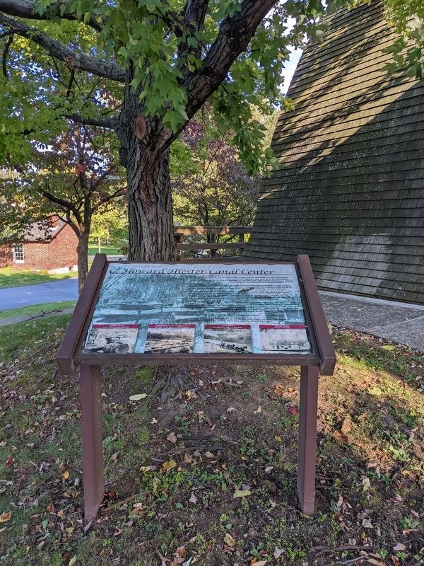
C. Howard Hiester Canal Center
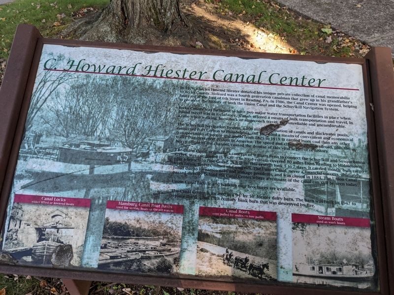
Berks County was fortunate to have two major water transportation facilities in place when inland travel was in its infancy. Canals offered a means of bulk transportation and travel, in time when walking, horseback or stagecoach travel, was unreliable and uncomfortable.
The Schuylkill Navigation System, a 108 mile combination of canals and slackwater pools connected Port Carbon to Philadelphia, and provided a means of convenient and economical transportation of people and goods from 1825 to 1919. It carried more coal than any other water transportation system in America. The speed and efficiency of the railroad, plus the heavy silting of the channel, caused the demise of this vital segment of history.
The Union Canal, originally a concept of William Penn to connect the Schuylkill and Susquehanna- Rivers was completed the 1827. The total system covered 80 miles from Reading to Middletown, plus a branch to Pine Grove. A trip on this system took 5 to 7 days, It carried mostly bulk cargo from farms, forests, mines and quarries. The Union Canal, never a financial success, ultimately failed due to its narrowness and leakage problems, and was closed in 1884. The Union Canal passed directly behind the Canal Center where a remnant of the canal can still be seen today.
Union Canal Bicycle and walking tour brochures are available.
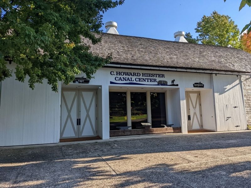
The Canal Center is located in a 94' by 50' former dairy barn. The barn was built in 1947 to replace the original 19th century bank barn that was destroyed by fire.
Topics and series. This historical marker is listed in these topic lists: Industry & Commerce • Waterways & Vessels. In addition, it is included in the Union Canal series list.
Location. 40° 22.155′ N, 75° 58.822′ W. Marker is in Reading, Pennsylvania, in Berks County. Marker can be reached from Red Bridge Road, 0.1 miles north of Tulpehocken road, on the left when traveling north. Red Bridge Road is closed to vehicular traffic at this location. Touch for map. Marker is at or near this postal address: 1102 Red Bridge Rd, Reading PA 19605, United States of America. Touch for directions.
Other nearby markers. At least 8 other markers are within walking distance of this marker. Melcher's Grist Mill (within shouting distance of this marker); Reeser Farm House (within shouting distance of this marker); Wertz's "Red" Bridge (about 300 feet away, measured in a direct line); Lest We Forget (about 400 feet away); Berks County Lodge No.71 Fraternal Order of Police (about 500 feet away); 148th Fighter Squadron (about 500 feet away); Gruber Wagon Works (about 500 feet away); Union Canal (approx. 0.6 miles away). Touch for a list and map of all markers in Reading.
More about this marker. This marker can only be accessed by foot. It is on the property of the Berks County Heritage Center.
Credits. This page was last revised on December 5, 2022. It was originally submitted on December 4, 2022, by William Pope of Marietta, Pennsylvania. This page has been viewed 125 times since then and 17 times this year. Photos: 1, 2, 3. submitted on December 4, 2022, by William Pope of Marietta, Pennsylvania. • Bill Pfingsten was the editor who published this page.


