Near Oldtown in Greenup County, Kentucky — The American South (East South Central)
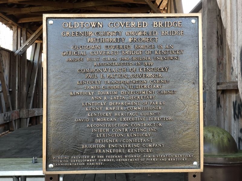
Oldtown Covered Bridge
Greenup County Covered Bridge Authority Project
Official Covered Bridge of Kentucky
Bridge built circa 1880 (builder unknown)
Reconstructed in 1999
[Remainder of marker non-historical and omitted]
Erected by Greenup County Covered Bridge Authority.
Topics and series. This historical marker is listed in this topic list: Bridges & Viaducts. In addition, it is included in the Covered Bridges series list. A significant historical year for this entry is 1880.
Location. 38° 25.898′ N, 82° 53.719′ W. Marker is near Oldtown, Kentucky, in Greenup County. Marker can be reached from Frazer Branch Road, 0.2 miles south of KY-1, on the left when traveling south. Touch for map. Marker is in this post office area: Greenup KY 41144, United States of America. Touch for directions.
Other nearby markers. At least 8 other markers are within 4 miles of this marker, measured as the crow flies. Laurel Furnace / Iron Made In Kentucky (approx. 0.6 miles away); Grave of Lucy Virgin Downs (approx. 0.6 miles away); Hopewell Furnace / Iron Made in Kentucky (approx. 1.2 miles away); a different marker also named Grave of Lucy Virgin Downs (approx. 1.2 miles away); E. K. Railway – Hunnewell (approx. 2.9 miles away); Greenup County's Crowning Jewel (approx. 3.3 miles away); Buffalo Furnace / Iron Made in Kentucky (approx. 3.3 miles away); Greenbo Lake State Resort Park (approx. 3.4 miles away). Touch for a list and map of all markers in Oldtown.
Regarding Oldtown Covered Bridge. Excerpt from the National Register of Historic Places nomination for the bridge, which was submitted in 1975:
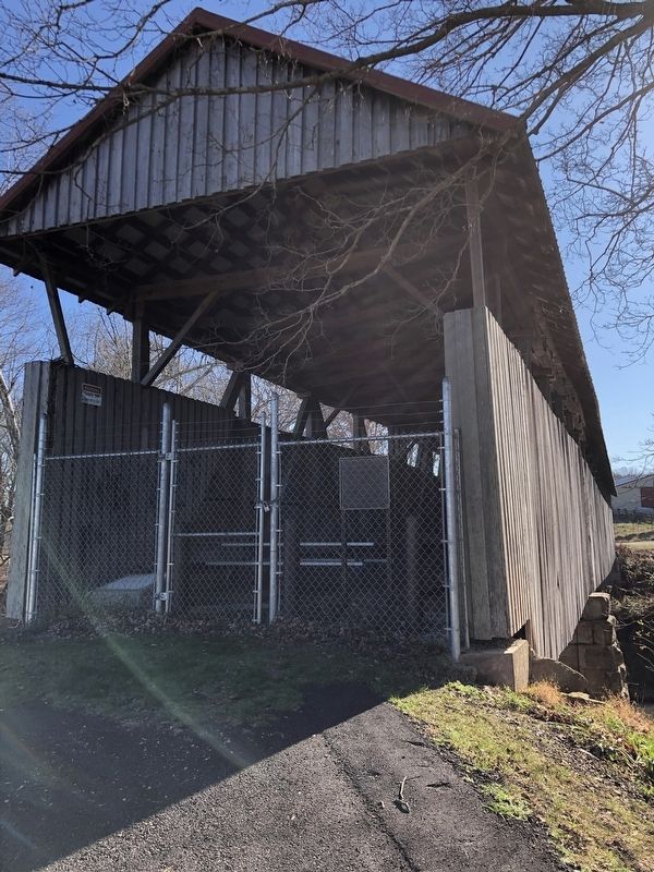
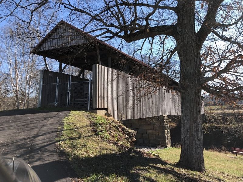
Greenup County's Oldtown Covered Bridge crosses the Little Sandy River on Frazer Branch Road 750 east of Kentucky Highway 1. This bridge, built on Burr's patented design, extends 178 feet in two spans. Burr's truss has served well, as this bridge has withstood two floods in 1913 and 1937. Still serving the community of Erasure, it has a posted limit of 4 tons.
The Burr design is a combination of an arch and a multiple kingpost truss. It was invented by Theodore Burr in 1804 and patented in 1817. The Oldtown Bridge is now closed to vehicular and pedestrian traffic.
Also see . . . Oldtown Covered Bridge (PDF). National Register nomination for the bridge, which was listed in 1976. (National Archives) (Submitted on December 6, 2022, by Duane and Tracy Marsteller of Murfreesboro, Tennessee.)
Credits. This page was last revised on December 6, 2022. It was originally submitted on December 6, 2022, by Duane and Tracy Marsteller of Murfreesboro, Tennessee. This page has been viewed 144 times since then and 31 times this year. Photos: 1, 2, 3. submitted on December 6, 2022, by Duane and Tracy Marsteller of Murfreesboro, Tennessee.


