Near Madison in Lake County, South Dakota — The American Midwest (Upper Plains)
Site of Old Madison
November 9, 2022
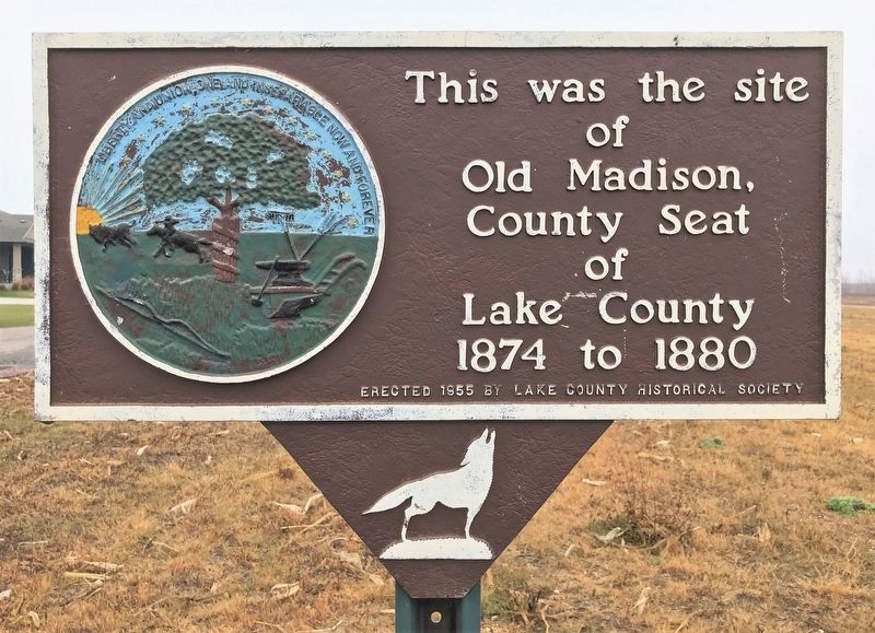
1. Site of Old Madison Marker
County Seat of Lake County 1874 to 1880
Erected 1955 by Lake County Historical Society.
Topics. This historical marker is listed in this topic list: Political Subdivisions. A significant historical year for this entry is 1874.
Location. 43° 57.817′ N, 97° 3.376′ W. Marker is near Madison, South Dakota, in Lake County. It is on Linden Drive (County Highway 42) 0.7 miles east of State Highway 19, on the right when traveling east. Touch for map. Marker is at or near this postal address: 116 Linden Dr, Madison SD 57042, United States of America. Touch for directions.

Regionally, this marker is in East River and in Greater Sioux Falls. It is also in the American Midwest, in the Lewis & Clark Corridor, in the Corn Belt, on the prairies, and on the Northern Plains. Globally, it is in North America, the Western Hemisphere, the Western World, and the Anglosphere. Historically, it finds itself in what was once Rupert’s Land and also the Louisiana Purchase.
Other nearby markers. At least 8 other markers are within 5 miles of this marker, measured as the crow flies: Old Madison – First County Seat
this page online
Related marker. Click here for another marker that is related to this marker.
November 9, 2022
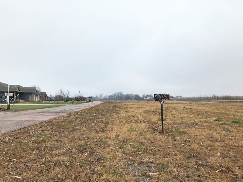
2. Site of Old Madison Marker, from the west
November 9, 2022
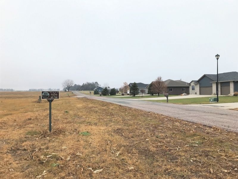
3. Site of Old Madison Marker, from the east
Credits. This page was last revised on December 6, 2022. It was originally submitted on December 6, 2022. This page has been viewed 255 times since then and 31 times this year. Photos: 1, 2, 3. submitted on December 6, 2022.
