Near Palm Springs in Riverside County, California — The American West (Pacific Coastal)
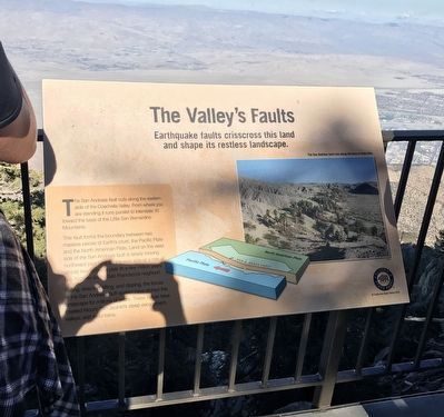
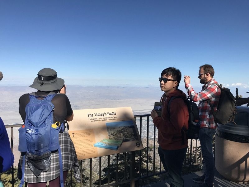
The Valley's Faults
Earthquake Faults Crisscross this land and shape its restless landscape.
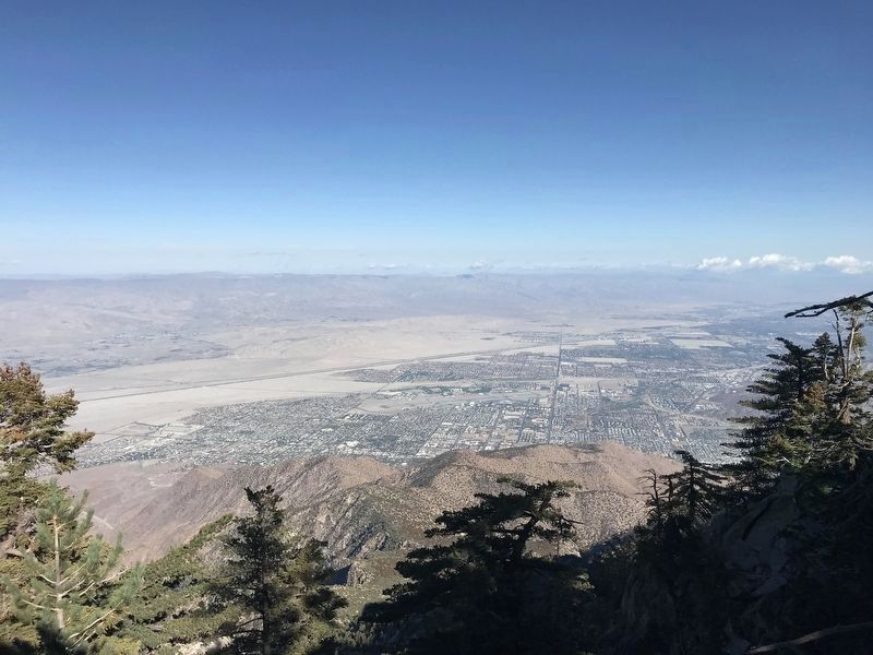
The San Andreas fault cuts along the eastern side of the Coachella Valley. From where you are standing it runs parallel to Interstate 10 toward the base of the Little San Bernardino Mountains.
This fault forms the boundary between two massive pieces of Earth's crust, the Pacific Plate and the North American Plate. Land on the west side of the San Andreas fault is slowly moving northward past land on the east side at a rate of almost two inches a year. In a few million years Los Angeles will be San Francisco's neighbor!
Pulling, straining, lifting, and dipping, the forces of the San Andreas fault system have etched this landscape for millions of years. These forces have created Mount San Jacinto's steep escarpment, valleys, and mountains.
Erected by California State Parks.
Topics. This historical marker is listed in this topic list: Natural Features.
Location. 33° 48.781′ N, 116° 38.275′ W. Marker is near Palm Springs, California, in Riverside County. Marker can be reached from Tram Way. Touch for map. Marker is at or near this postal address: 1 Tram Way, Palm Springs CA 92262, United States of America. Touch for directions.
Other nearby markers. At least 8 other markers are within 5 miles of this marker, measured as the crow flies. The Wilderness Before You (within shouting distance of this marker); The Accidental Sea (within shouting distance of this marker); The Mountain Rocks (within shouting distance of this marker); Wilderness Preservation (within shouting distance of this marker); Palm Springs Aerial Tramway Valley Station (approx. 2.2 miles away); Original Cabin #2 (approx. 2.2 miles away); Tahquitz Rock History (approx. 4.3 miles away); The Willows (approx. 5.1 miles away). Touch for a list and map of all markers in Palm Springs.
Credits. This page was last revised on March 1, 2023. It was originally submitted on November 19, 2022, by Adam Margolis of Mission Viejo, California. This page has been viewed 288 times since then and 97 times this year. Last updated on December 6, 2022, by Adam Margolis of Mission Viejo, California. Photos: 1, 2. submitted on November 19, 2022, by Adam Margolis of Mission Viejo, California. 3. submitted on February 28, 2023, by Adam Margolis of Mission Viejo, California. • J. Makali Bruton was the editor who published this page.


