Near Camden in Ouachita County, Arkansas — The American South (West South Central)
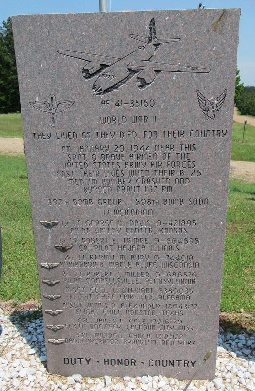
AF 45-35160
World War II
— They lived as they died, for their country —
397th Bomb Group 598th Bomb Sqdn.
In Memoriam
• 1st Lt. George W. Davis, 0-421895 Pilot, Valley Center, Kansas
• 1st Lt. Robert E. Trimpe, 0-664695 Co-Pilot, Havana, Illinois
• 2nd Lt. Kermit M. Bury, 0-744010 Bombardier, Maple Bluff, Wisconsin
• 2nd Lt. Robert J Miller, 0-686576 Pilot, Connellsville, Pennsylvania
• M. SGT. Cecil C. Stewart, 6380036 Flight Chief, Fairfield, Alabama
• M. SGT. James D. Alexander, 18043177 Flight Chief, Houston, Texas
• CPL James E. Cole, 17016779 Flight Engineer, Calhoun City, Miss.
• CPL. Milton L. Rauch, 12182122 Radio Operator, Brooklyn, New York
Duty - Honor - Country
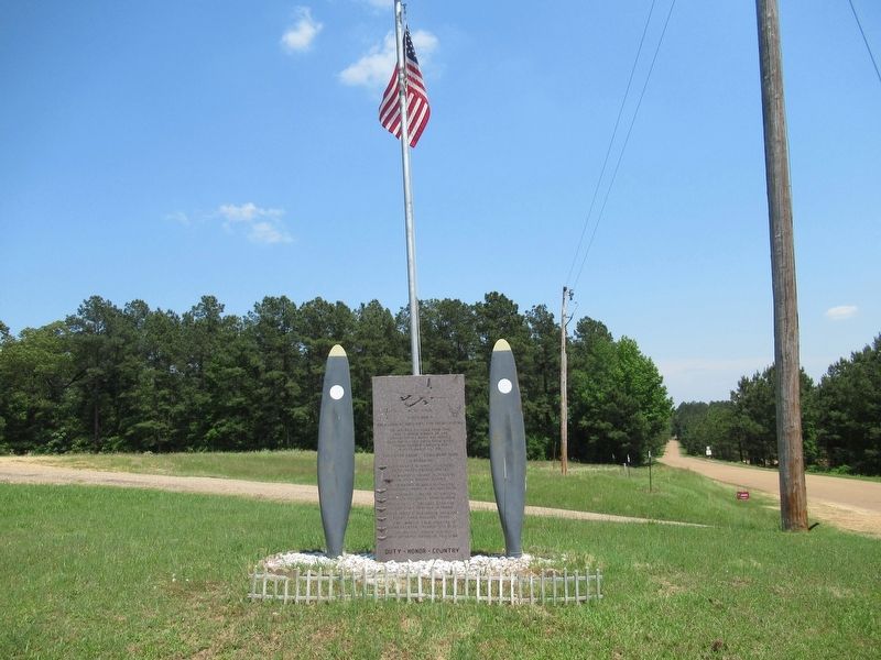
Erected 2003 by Citizens of Ouachita County.
Topics. This memorial is listed in these topic lists: Disasters • Patriots & Patriotism • War, World II. A significant historical date for this entry is January 20, 1944.
Location. 33° 28.392′ N, 92° 48.468′ W. Marker is near Camden, Arkansas, in Ouachita County. Memorial is on Ouachita Road 64 east of Arkansas Highway 7, on the left when traveling east. Touch for map. Marker is at or near this postal address: 600 Ouachita Road 64, Camden AR 71701, United States of America. Touch for directions.
Other nearby markers. At least 8 other markers are within 9 miles of this marker, measured as the crow flies. Fort Diamond (approx. 7 miles away); Fort Southerland (approx. 7.6 miles away); Ouachita County Desert Storm Memorial (approx. 7.8 miles away); Ecore A-Fabre or Fabre’s Bluff (approx. 7.8 miles away); To Our Confederate Women (approx. 7.8 miles away); Fort Simmons (approx. 8.2 miles away); Camden Water Battle (approx. 8.3 miles away); Redoubt B (approx. 8.6 miles away). Touch for a list and map of all markers in Camden.
Also see . . . B-26 Bomber Crash of 1944. (Submitted on December 10, 2022, by Jason Armstrong of Talihina, Oklahoma.)

Photographed By Jason Armstrong, May 12, 2022
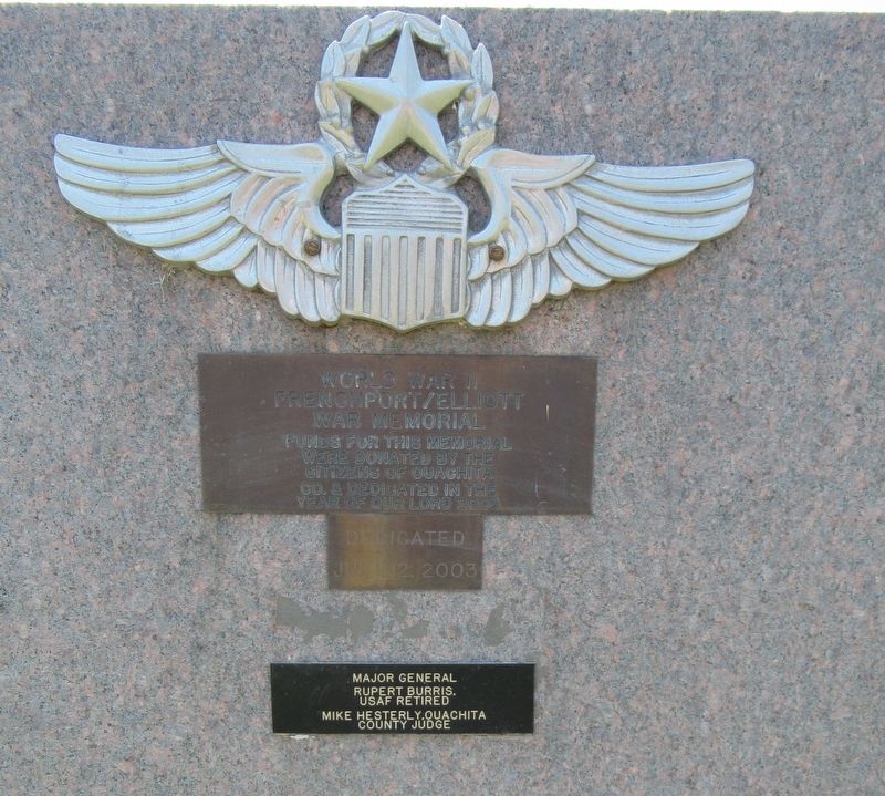
2. AF 41-35160 Marker (Back)
World War II FrenchPort/Elliott War Memorial
Funds for this memorial were donated by the citizens of Ouachita CO. & dedicated in the year of our Lord 2003
Dedicated July 12, 2003
Major General Rupert Burris, USAF Retired
Mike Hesterly, Ouachita County Judge
Credits. This page was last revised on December 10, 2022. It was originally submitted on December 10, 2022, by Jason Armstrong of Talihina, Oklahoma. This page has been viewed 114 times since then and 20 times this year. Photos: 1, 2, 3. submitted on December 10, 2022, by Jason Armstrong of Talihina, Oklahoma. • Andrew Ruppenstein was the editor who published this page.

