Joaquin in Shelby County, Texas — The American South (West South Central)
B.F. Morris and the Town of Joaquin
Photographed by James Hulse, November 6, 2020
1. B. F. Morris and the Town of Joaquin Marker
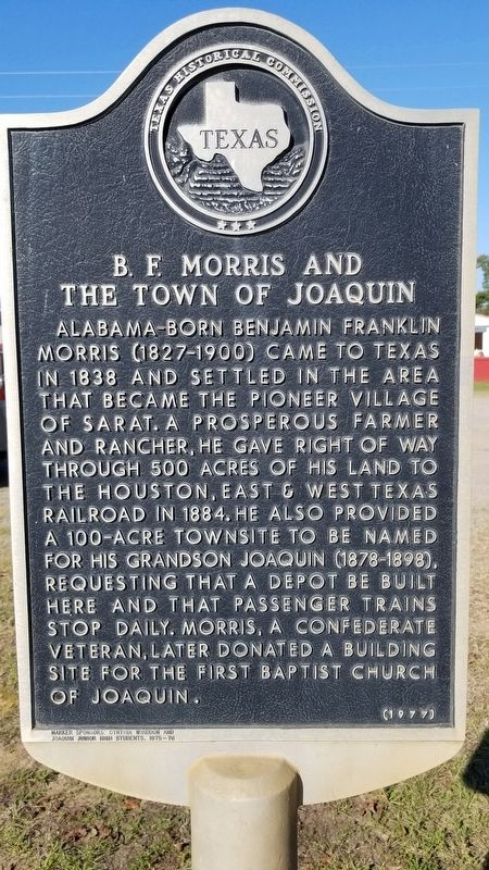
Alabama-born Benjamin Franklin Morris (1827-1900) came to Texas in 1838 and settled in the area that became the pioneer village of Sarat. A prosperous farmer and rancher, he gave right of way through 500 acres of his land to the Houston, East & West Texas Railroad in 1884. He also provided a 100-acre townsite to be named for his grandson Joaquin (1878-1898), requesting that a depot be built here and that passenger trains stop daily. Morris, a confederate veteran, later donated a building site for the First Baptist Church of Joaquin.
Erected 1977 by Texas Historical Commission. (Marker Number 7688.)
Topics. This historical marker is listed in these topic lists: Industry & Commerce • Railroads & Streetcars. A significant historical year for this entry is 1838.
Location. 31° 57.995′ N, 94° 3.363′ W. Marker is in Joaquin, Texas, in Shelby County. It is at the intersection of Bell Street (U.S. 84) and South Chalk Street, on the right when traveling west on Bell Street. Touch for map. Marker is at or near this postal address: 10552 Bell St, Joaquin TX 75954, United States of America. Touch for directions.

Regionally, this marker is in the American South, specifically in the Deep South, and in the Piney Woods. Globally, it is in North America, a Gulf of Mexico state, the Western Hemisphere, the Western World, and the Anglosphere. Historically, it finds itself in what was once New Spain, the Republic of Texas, one of the Confederate States of America, and the Antebellum South.
Other nearby markers. At least 8 other markers are within 10 miles of this marker, measured as the crow flies: Brookland Cemetery (approx. 2.4 miles away); Sholar Cemetery (approx. 4.7 miles away); International Boundary Marker (approx. 4.7 miles away); a different marker also named International Boundary Marker (approx.
this page online
Another marker is no longer nearby. International Boundary (was approx. 4.7 miles away in Louisiana but has been confirmed missing).
Also see . . . Joaquin, Texas. TexasEscapes.com (Submitted on November 21, 2020, by James Hulse of Medina, Texas.)
Photographed by James Hulse, November 6, 2020
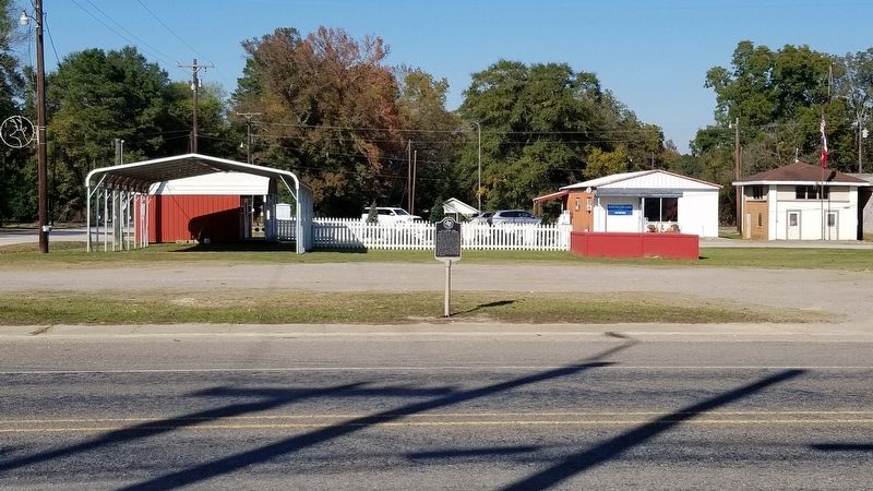
2. B. F. Morris and the Town of Joaquin Marker
Photographed by James Hulse, November 6, 2020
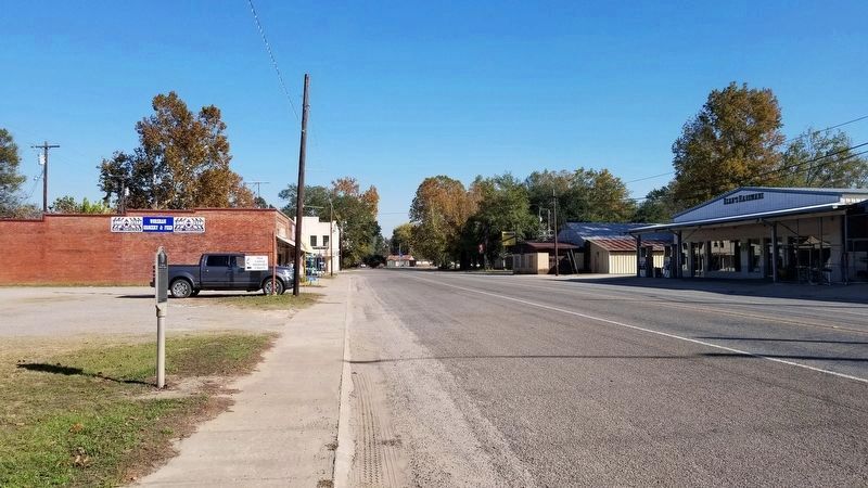
3. B. F. Morris and the Town of Joaquin Marker by the road
Credits. This page was last revised on December 12, 2022. It was originally submitted on November 21, 2020, by James Hulse of Medina, Texas. This page has been viewed 837 times since then and 66 times this year. Last updated on December 10, 2022, by Carl Gordon Moore Jr. of North East, Maryland. Photos: 1, 2, 3. submitted on November 21, 2020, by James Hulse of Medina, Texas. • Devry Becker Jones was the editor who published this page.
