Death Valley National Park in Inyo County, California — The American West (Pacific Coastal)
Journiganís Mill
Desert Dreams
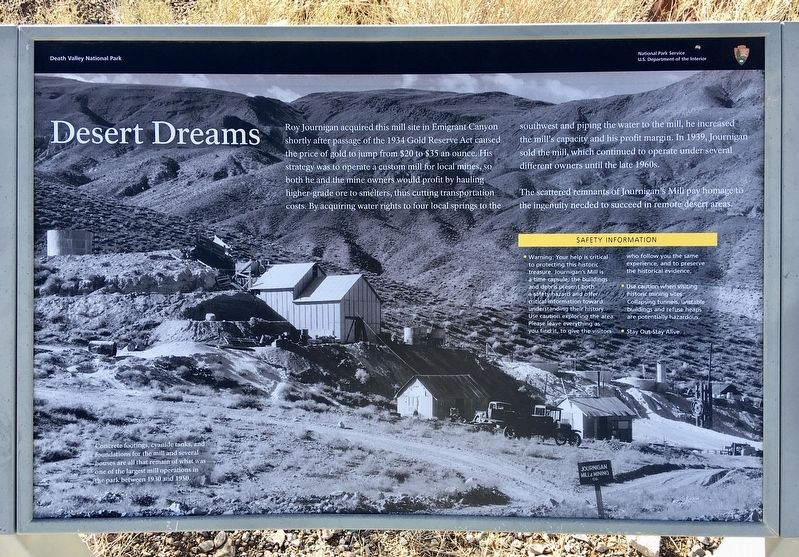
Roy Journigan acquired this mill site in Emigrant Canyon shortly after passage of the 1934 Gold Reserve Act caused the price of gold to jump from $20 to $35 an ounce. His strategy was to operate a custom mill for local mines, so both he and the mine owners would profit by hauling higher-grade ore to smelters, thus cutting transportation costs. By acquiring water rights to four local springs to the southwest and piping the water to the mill, he increased the mill's capacity and his profit margin. In 1939, Journigan sold the mill, which continued to operate under several different owners until the late 1960s.
The scattered remnants of Journigan's Mill pay homage to the ingenuity needed to succeed in remote desert areas.
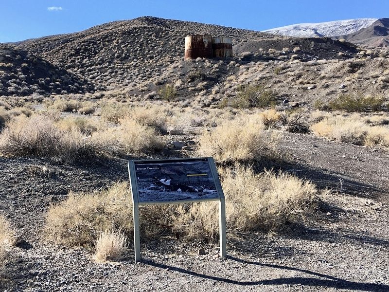
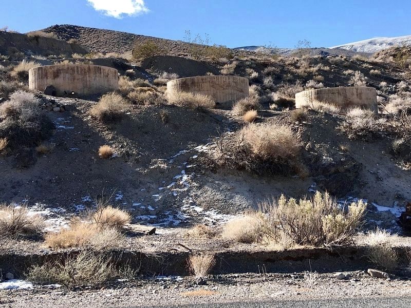
Concrete footings, cyanide tanks, and foundations for the mill and several houses are all that remain of what was one of the largest mill operations in the park between 1930 and 1950.
Warning: Your help is critical to protecting this historic treasure. Journigan's Mill is a time capsule; the buildings and debris present both a safety hazard and offer critical information toward understanding their history. Use caution exploring the area. Please leave everything as you find it, to give the visitors who follow you the same experience, and to preserve the historical evidence.
Use caution when visiting historic mining sites. Collapsing tunnels, unstable buildings and refuse heaps are potentially hazardous.
Stay Out - Stay Alive.
Erected by National Park Service.
Topics. This historical marker is listed in these topic lists: Industry & Commerce • Natural Resources. A significant historical year for this entry is 1934.
Location. 36° 24.817′ N, 117° 10.887′ W. Marker is in Death Valley National Park, California, in Inyo County. Marker is on Emigrant Canyon Road, 6Ĺ miles south of California Route 190, on the right when traveling south. Touch for map. Marker is at or near this postal address: Emigrant Canyon Rd, Death Valley CA 92328, United States of America. Touch for directions.
Other nearby markers. At least 8 other markers are within 12 miles of this marker, measured as the crow flies. Skidoo Mill (approx. 2.2 miles away); Skidoo (approx. 2.8 miles away); Aguereberry Camp (approx. 5.3 miles away); The Eureka Mine (approx. 5Ĺ miles away); An Architectural Heritage (approx. 6.3 miles away); Aguereberry Point (approx. 8.4 miles away); Wildrose CCC Camp (approx. 10.3 miles away); Skidoo Pipeline (approx. 11.8 miles away). Touch for a list and map of all markers in Death Valley National Park.
Credits. This page was last revised on November 5, 2023. It was originally submitted on December 12, 2022, by Craig Baker of Sylmar, California. This page has been viewed 280 times since then and 37 times this year. Photos: 1, 2, 3. submitted on December 12, 2022, by Craig Baker of Sylmar, California.


