Near Whitesburg in Letcher County, Kentucky — The American South (East South Central)
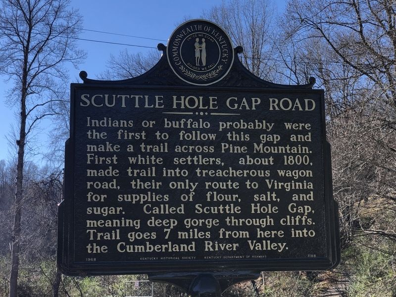
Scuttle Hole Gap Road
Erected 1968 by Kentucky Historical Society • Kentucky Department of Highways. (Marker Number 1188.)
Topics and series. This historical marker is listed in this topic list: Roads & Vehicles. In addition, it is included in the Kentucky Historical Society series list. A significant historical year for this entry is 1800.
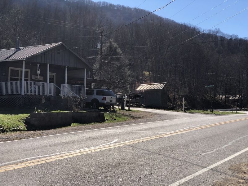
Location. 37° 3.75′ N, 82° 52.065′ W. Marker is near Whitesburg, Kentucky, in Letcher County. Marker is at the intersection of State Highway 931 and Scuttle Hole Gap Road (County Road 1633), on the right when traveling east on State Highway 931. Touch for map. Marker is at or near this postal address: 6691 State Hwy 931, Whitesburg KY 41858, United States of America. Touch for directions.
Other nearby markers. At least 8 other markers are within 5 miles of this marker, measured as the crow flies. Kingdom Come (approx. ¼ mile away); Scotia Mine Disaster (approx. 2.3 miles away); Harry Monroe Caudill (approx. 3.3 miles away); John Fox, Jr. (approx. 3.3 miles away); Harriette Simpson Arnow (approx. 3.3 miles away); James Still (approx. 3.3 miles away); Letcher County Honor Roll (approx. 4½ miles away); Pilot -- Spy -- Hero / Francis Gary Powers (approx. 4½ miles away). Touch for a list and map of all markers in Whitesburg.
Also see . . . Scuttle Hole Gap Road. Mountain roads like the Scuttle Hole Gap Road helped alleviate some of the isolation caused by the region’s high ridges and deep valleys. (Tom Talbott, ExploreKYHistory) (Submitted on December 13, 2022, by Duane and Tracy Marsteller of Murfreesboro, Tennessee.)
Credits. This page was last revised on December 13, 2022. It was originally submitted on December 13, 2022, by Duane and Tracy Marsteller of Murfreesboro, Tennessee. This page has been viewed 322 times since then and 34 times this year. Photos: 1, 2. submitted on December 13, 2022, by Duane and Tracy Marsteller of Murfreesboro, Tennessee.

