Near Beverly in Clay County, Kentucky — The American South (East South Central)
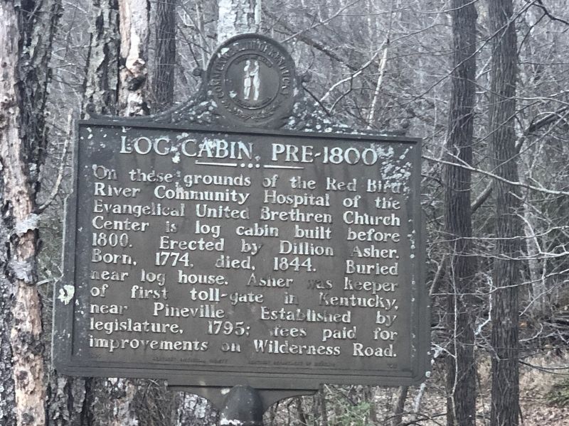
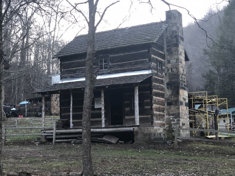
Log Cabin, Pre-1800
Erected by Kentucky Historical Society • Kentucky Department of Highways. (Marker Number 723.)
Topics and series. This historical marker is listed in these topic lists: Architecture • Roads & Vehicles • Settlements & Settlers. In addition, it is included in the Kentucky Historical Society series list. A significant historical year for this entry is 1800.
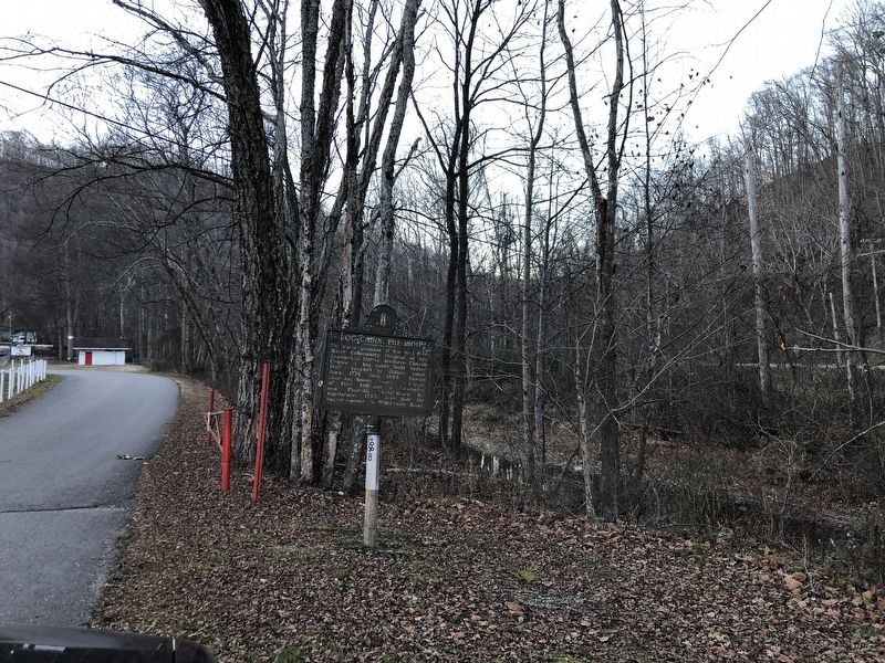
Location. 37° 0.632′ N, 83° 31.641′ W. Marker is near Beverly, Kentucky, in Clay County. Marker is at the intersection of Queendale Center and Dorm Road, on the right when traveling north on Queendale Center. Touch for map. Marker is at or near this postal address: 53 Queendale Center, Essie KY 40827, United States of America. Touch for directions.
Other nearby markers. At least 8 other markers are within 14 miles of this marker, measured as the crow flies. John Gilbert, Sr. Memorial Highway (approx. 11.6 miles away); Chief Red Bird (approx. 11.6 miles away); Hurricane Creek Mine Disaster (approx. 12.8 miles away); Hurricane Creek Miner Memorial (approx. 12.8 miles away); Mary Breckinridge (approx. 13.4 miles away); Leslie County Veterans Memorial (approx. 13˝ miles away); Redbud Capital of the World (approx. 13˝ miles away); Sgt. Willie Sandlin (approx. 13˝ miles away).
Credits. This page was last revised on December 14, 2022. It was originally submitted on December 14, 2022, by Duane and Tracy Marsteller of Murfreesboro, Tennessee. This page has been viewed 205 times since then and 62 times this year. Photos: 1, 2, 3. submitted on December 14, 2022, by Duane and Tracy Marsteller of Murfreesboro, Tennessee.


