Bordentown in Burlington County, New Jersey — The American Northeast (Mid-Atlantic)
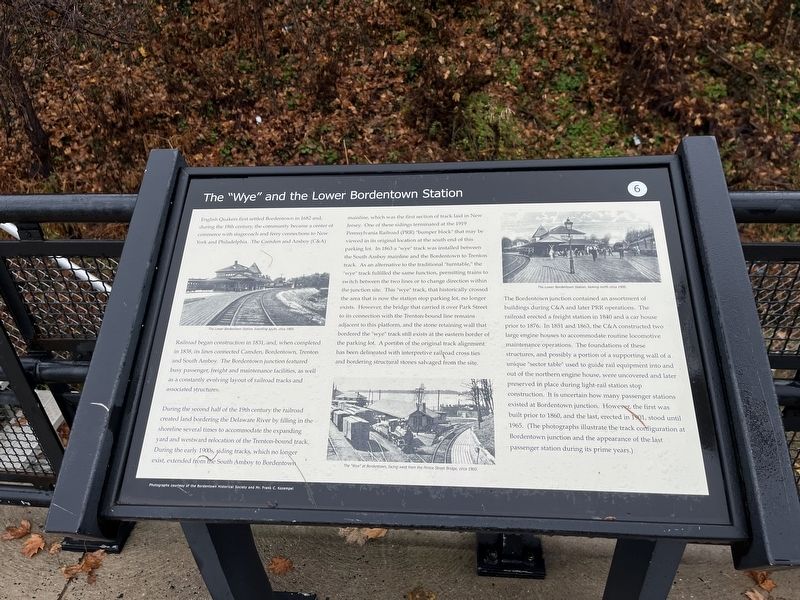
The "Wye" and the Lower Bordentown Station

Photographed By Devry Becker Jones (CC0), December 16, 2022
1. The "Wye" and the Lower Bordentown Station Marker
English Quakers first settled Bordentown in 1682 and during the 18th century, the community became a center of commerce with stagecoach and ferry connections to New York and Philadelphia. The Camden and Amboy (C&A) Railroad began construction in 1831, and, when completed in 1838, its lines connected Camden, Bordentown, Trenton and South Amboy. The Bordentown junction featured busy passenger, freight and maintenance facilities, as well as a constantly evolving layout of railroads and associated structures.
During the second half of the 19th century the railroad created land bordering the Delaware River by filling in the shoreline several times to accommodate the expanding yard and westward relocation of the Trenton-bound track. During the early 1900s, siding tracks, which no longer exist, extended from the South Amboy to Bordentown mainline, which was the first section of track laid in New Jersey. One of these sidings terminated at the 1919 Pennsylvania Railroad (PRR) "bumper block" that may be viewed in its original location at the south end of this parking lot. In 1863 a "wye" track was installed between the South Amboy mainline and the Bordentown to Trenton track. As an alternative to the traditional "turntable," the "wye" track fulfilled the same function, permitting trains to switch between the two lines or to change direction within the junction site. This "wye" track, that historically crossed the area that is now the station stop parking lot, no longer exists. However, the bridge that carried it over Park Street to its connection with the Trenton-bound line remains adjacent to this platform, and the stone retaining all that bordered the "wye" track still exists at the eastern border of the parking lot. A portion of the original track alignment has been delineated with interpretive railroad cross ties and bordering structural stones salvaged from the site.
The Bordentown junction contained an assortment of buildings C&A and later PRR operations. The railroad erected a freight station in 1840 and a car house prior to 1876. In 1851 and 1863, the C&A constructed two large engine houses to accommodate routine locomotive maintenance operations. The foundations of these structures, and possibly a portion of a supporting wall of a unique "sector table" used to guide rail equipment into and out of the northern engine house, were uncovered and later preserved in place during light-rail station stop construction. It is uncertain how many passenger stations existed at Bordentown junction. However, the first was built prior to 1860, and the last, erected in 1901, stood until 1965. (The photographs illustrate the track configuration at Bordentown junction and the appearance of the last passenger

Photographed By Devry Becker Jones (CC0), December 16, 2022
2. The "Wye" and the Lower Bordentown Station Marker
Erected by New Jersey Transit Corporation. (Marker Number 6.)
Topics and series. This historical marker is listed in these topic lists: Industry & Commerce • Railroads & Streetcars • Settlements & Settlers. In addition, it is included in the Pennsylvania Railroad (PRR), and the Quakerism series lists. A significant historical year for this entry is 1682.
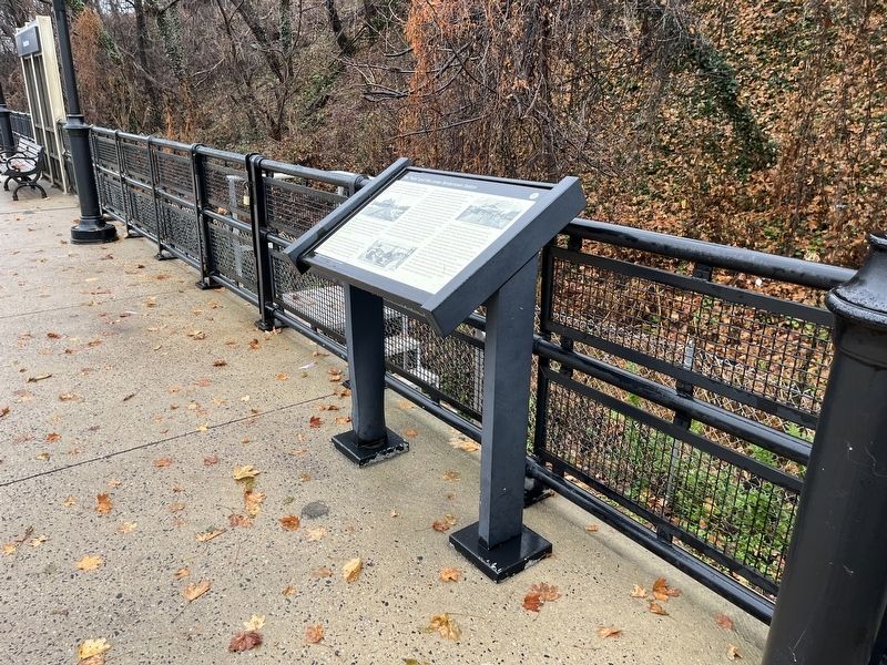
Location. 40° 8.899′ N, 74° 42.973′ W. Marker is in Bordentown, New Jersey, in Burlington County. Marker can be reached from West Park Street west of Prince Street, on the right when traveling west. The marker is on the grounds of the Bordentown Station of the New Jersey River Line Light Rail. Touch for map. Marker is at or near this postal address: 100 W Park St, Bordentown NJ 08505, United States of America. Touch for directions.
Other nearby markers. At least 8 other markers are within walking distance of this marker. Discover Abbott Marshlands: A Natural & Historical Treasure (within shouting distance of this marker); An Early Transportation Hub (about 300 feet away, measured in a direct line); Point Breeze (about 400 feet away); Thomas Paine Monument (about 500 feet away); The Delaware: A National Treasure (about 500 feet away); British Raid on Crosswicks Creek (about 600 feet away); 19th Century Railroading in Bordentown (about 600 feet away); Wright House (about 700 feet away). Touch for a list and map of all markers in Bordentown.
Credits. This page was last revised on December 18, 2022. It was originally submitted on December 18, 2022, by Devry Becker Jones of Washington, District of Columbia. This page has been viewed 140 times since then and 28 times this year. Photos: 1, 2. submitted on December 18, 2022, by Devry Becker Jones of Washington, District of Columbia.