Santa Cruz in Santa Cruz County, California — The American West (Pacific Coastal)
La Barranca Park
Honoring the Italian-American Contribution to Santa Cruz County
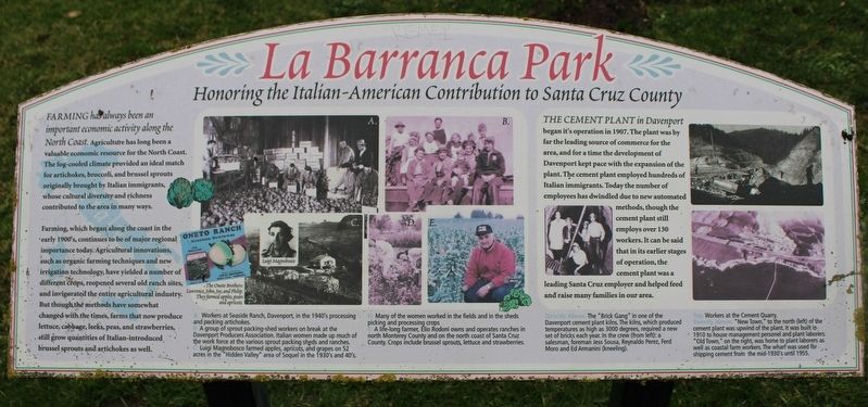
Farming, which began along the coast in the early 1900’s, continues to be of major regional importance today. Agricultural innovations, such as organic farming techniques and new irrigation technology, have yielded a number of different crops, reopened several old ranch sites, and invigorated the entire agricultural industry. But though the methods have somewhat changed with the times, farms that now produce lettuce, cabbage, leeks, peas, and strawberries, still grow quantities of Italian-introduced brussel sprouts and artichokes as well.
The Cement Plant in Davenport began its operation in 1907. The plant was by far the leading source of commerce for the area, and for a time the development of Davenport kept pace with the expansion of the plant. The cement plant employed hundreds of Italian immigrants. Today the number of employees has dwindled due to new automated methods, though the cement plant still employs over 130 workers. It can be said that in its earlier stages of operation, the cement plant was a leading Santa Cruz employer and helped feed and raise many families in our area.
Images:
A: Workers at Seaside Ranch, Davenport, in the 1940’s processing and packing artichokes.
B: A group of sprout packing-shed workers on break at the Davenport Producers Association. Italian women made up much of the work force at the various sprout packing sheds and ranches.
C: Luigi Magnobosco farmed apples, apricots, and grapes on 52 aces in the “Hidden Valley” area of Soquel in the 1930’s and 40’s.
D: Many of the women in the fields and in the sheds picking and processing crops.
E: A life-long farmer, Elio Rodoni owns and operates ranches in north Monterey County. Crops include brussel sprouts, lettuce and strawberries.
Directly Above: The “Brick Gang” in one of the Davenport cement plant kilns. The kilns, which produced temperatures as high as 3000 degrees, required a new set of bricks each year. In the crew (from left): a salesman, foreman Jess Sousa, Reynaldo Perez, Ferd Moro and Ed Armanini (kneeling).
Top: Workers at the cement quarry.
Directly Above: “New Town,” to the north (left) of the cement plant was upwind of the plant. It was built in 1910 to house management personnel and plant laborers. “Old Town,” on the right, was home to plant laborers as well as coastal farm workers. The wharf was used for shipping cement from the mid-1930’s until 1955.
Topics. This historical marker is listed in these topic lists: Agriculture • Industry & Commerce. A significant historical year for this entry is 1907.
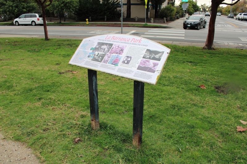
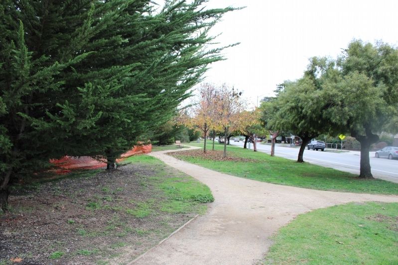
Location. 36° 57.786′ N, 122° 2.086′ W. Marker is in Santa Cruz, California, in Santa Cruz County. Marker is at the intersection of Bay Street and California Avenue, on the right when traveling west on Bay Street. The resin marker is mounted to a metal stand along the park trail. Touch for map. Marker is at or near this postal address: 700 Bay Street, Santa Cruz CA 95060, United States of America. Touch for directions.
Other nearby markers. At least 8 other markers are within walking distance of this marker. A different marker also named La Barranca Park (about 500 feet away, measured in a direct line); Geo. Peckner Cash Store (approx. 0.2 miles away); a different marker also named La Barranca Park (approx. ¼ mile away); Henry Bias Home (approx. 0.3 miles away); Leon & Jeanette Rowland Residence 1929-1977 (approx. 0.4 miles away); American Railway Express Agency (approx. 0.4 miles away); 135 Gharkey (approx. half a mile away); Howe House (approx. half a mile away). Touch for a list and map of all markers in Santa Cruz.
Credits. This page was last revised on December 18, 2022. It was originally submitted on December 18, 2022, by Joseph Alvarado of Livermore, California. This page has been viewed 77 times since then and 10 times this year. Photos: 1, 2, 3. submitted on December 18, 2022, by Joseph Alvarado of Livermore, California.


