Rockwall in Rockwall County, Texas — The American South (West South Central)
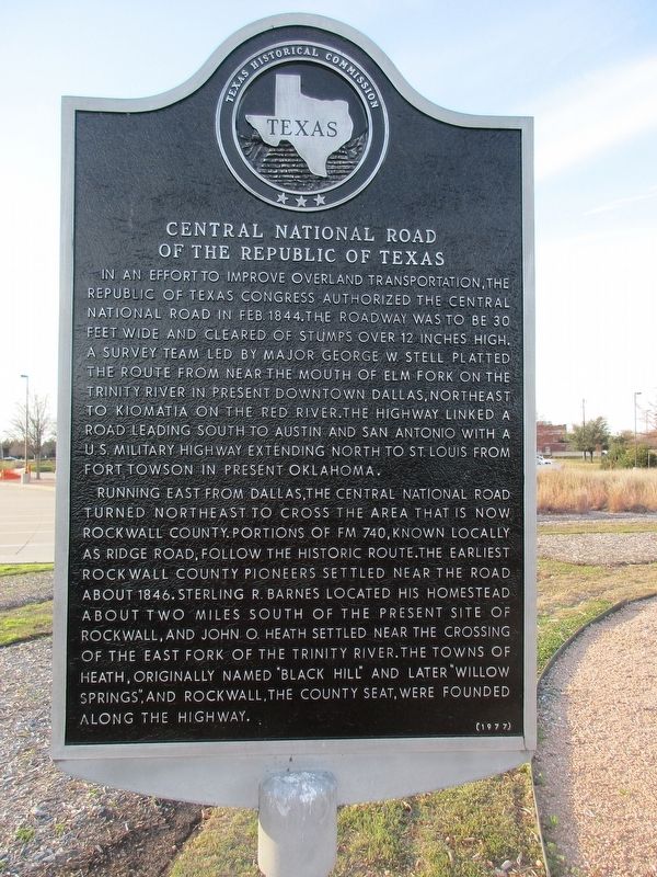
Central National Road of the Republic of Texas
Inscription.
In an effort to improve overland transportation, the Republic of Texas Congress authorized the Central National Road in Feb. 1844. The roadway was to be 30 feet wide and cleared of stumps over 12 inches high. A survey team led by Major George W. Stell platted the route from near the mouth of Elm Fork on the Trinity River in present downtown Dallas, northeast to Kiomatia on the Red River. The highway linked a road leading south to Austin and San Antonio with a U.S. military highway extending north to St. Louis from Fort Towson in present Oklahoma.
Running east from Dallas, the Central National Road turned northeast to cross the area that is now Rockwall County. Portions of FM 740, known locally as Ridge Road, follow the historic route. The earliest Rockwall County pioneers settled near the road about 1846. Sterling R. Barnes located his homestead about two miles south of the present site of Rockwall, and John O. Heath settled near the crossing of the East Fork of the Trinity River. The towns of Heath, originally named "Black Hill" and later "Willow Springs," and Rockwall, the county seat, were founded along the highway.
Erected 1977 by Texas Historical Commission. (Marker Number 6136.)
Topics. This historical marker is listed in this topic list: Roads & Vehicles.
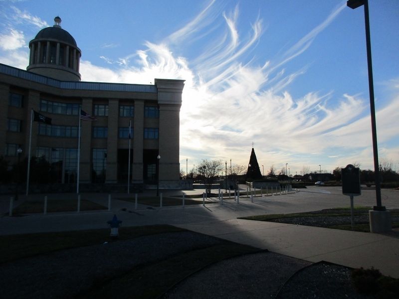
Location. 32° 54.848′ N, 96° 26.924′ W. Marker is in Rockwall, Texas, in Rockwall County. Marker can be reached from East Yellow Jacket Lane. Touch for map. Marker is at or near this postal address: 1111 E Yellowjacket Ln, Rockwall TX 75087, United States of America. Touch for directions.
Other nearby markers. At least 8 other markers are within 5 miles of this marker, measured as the crow flies. First Baptist Church of Rockwall (approx. one mile away); First Presbyterian Church of Rockwall (approx. 1.3 miles away); Rockwall County (approx. 1.4 miles away); a different marker also named Rockwall County (approx. 1.4 miles away); East Trinity Lodge No. 157, A.F. & A.M. (approx. 1.4 miles away); The Church of Christ in Rockwall (approx. 2 miles away); Fate Prebyterian Church (approx. 4.3 miles away); Fate Lodge No. 802, A.F. & A.M. (approx. 4.3 miles away). Touch for a list and map of all markers in Rockwall.
Credits. This page was last revised on December 21, 2022. It was originally submitted on December 19, 2022, by Jeff Leichsenring of Garland, Texas. This page has been viewed 201 times since then and 60 times this year. Photos: 1, 2. submitted on December 19, 2022, by Jeff Leichsenring of Garland, Texas. • J. Makali Bruton was the editor who published this page.

