Rockwall in Rockwall County, Texas — The American South (West South Central)
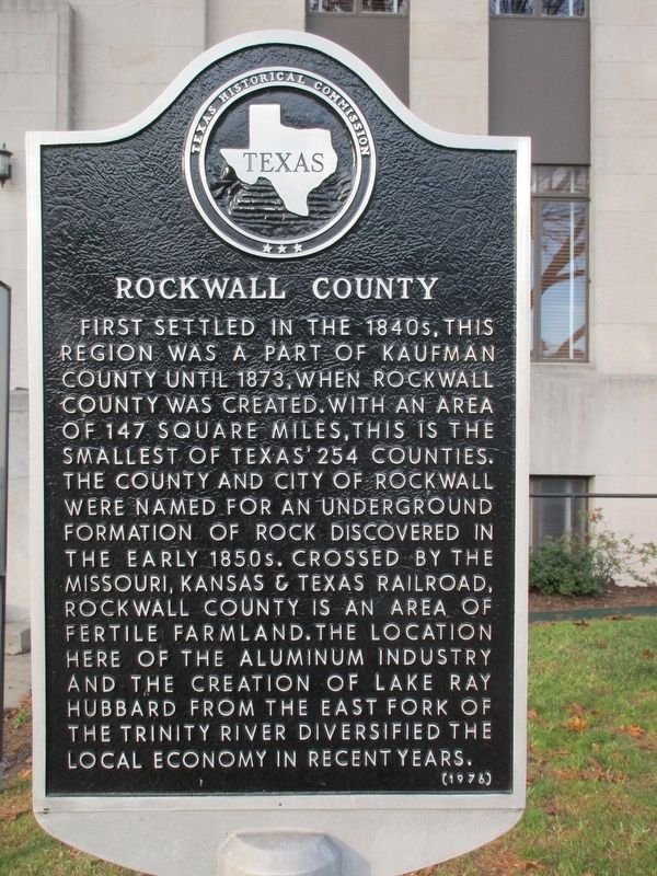
Rockwall County
First settled in the 1840s, this region was a part of Kaufman County until 1873, when Rockwall County was created. With an area of 147 square miles, this is the smallest of Texas' 254 counties. The county and city of Rockwall were named for an underground formation of rock discovered in the early 1850s. Crossed by the Missouri, Kansas & Texas Railroad, Rockwall County is an area of fertile farmland. The location here of the aluminum industry and the creation of Lake Ray Hubbard from the East Fork of the Trinity River diversified the local economy in recent years.
Erected 1976 by Texas Historical Commission. (Marker Number 6148.)
Topics. This historical marker is listed in this topic list: Settlements & Settlers.
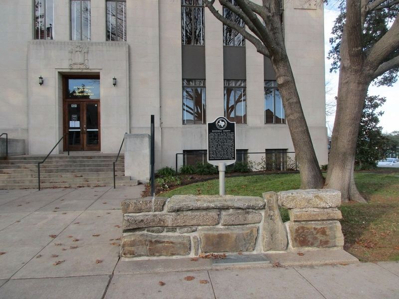
Location. 32° 55.876′ N, 96° 27.592′ W. Marker is in Rockwall, Texas, in Rockwall County. Marker is on East Rusk Street. Touch for map. Marker is at or near this postal address: 101 E Rusk St, Rockwall TX 75087, United States of America. Touch for directions.
Other nearby markers. At least 8 other markers are within 5 miles of this marker, measured as the crow flies. A different marker also named Rockwall County (a few steps from this marker); East Trinity Lodge No. 157, A.F. & A.M. (about 300 feet away, measured in a direct line); First Baptist Church of Rockwall (approx. half a mile away); Central National Road of the Republic of Texas (approx. 1.4 miles away); First Presbyterian Church of Rockwall (approx. 2.1 miles away); The Church of Christ in Rockwall (approx. 2.4 miles away); Fate Prebyterian Church (approx. 4.6 miles away); Fate Lodge No. 802, A.F. & A.M. (approx. 4.6 miles away). Touch for a list and map of all markers in Rockwall.
Credits. This page was last revised on December 22, 2022. It was originally submitted on December 19, 2022, by Jeff Leichsenring of Garland, Texas. This page has been viewed 146 times since then and 29 times this year. Photos: 1, 2, 3. submitted on December 19, 2022, by Jeff Leichsenring of Garland, Texas. • J. Makali Bruton was the editor who published this page.


