Cameron Hills in Fremont in Alameda County, California — The American West (Pacific Coastal)
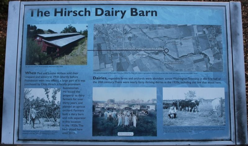
The Hirsch Dairy Barn
Dairies, vegetable farms and orchards were abundant across Washington Township in the first half of the 20th century. There were nearly forty thriving dairies in the 1920s, including the one that stood here.
Images:
The dairy barn on the Hirsch property, likely built in the 1920s.
1946 Aerial photograph of Washington Township (USGS). The fields with trees in a grid pattern are orchards, and the other fields were mostly pastures and produce farms.
Otto Hirsch standing in hos apricot orchard, on the same property as the dairy barn, just off Washington Blvd.
Baunofer family and employees on ranch which is now Fremont Hub 1927
Milkers on the Cloverdale-Innes Dairy, 1927, now the Fremont Hub (left); Frank Inderbitzen Sr. and Jr. on their small dairy on Osgood Road, circa 1957, with cows and apricot trees (above). Both of these nearby dairies were similar to the Hirsch Dairy.
Topics. This historical marker is listed in this topic list: Agriculture. A significant historical year for this entry is 1918.
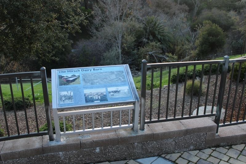
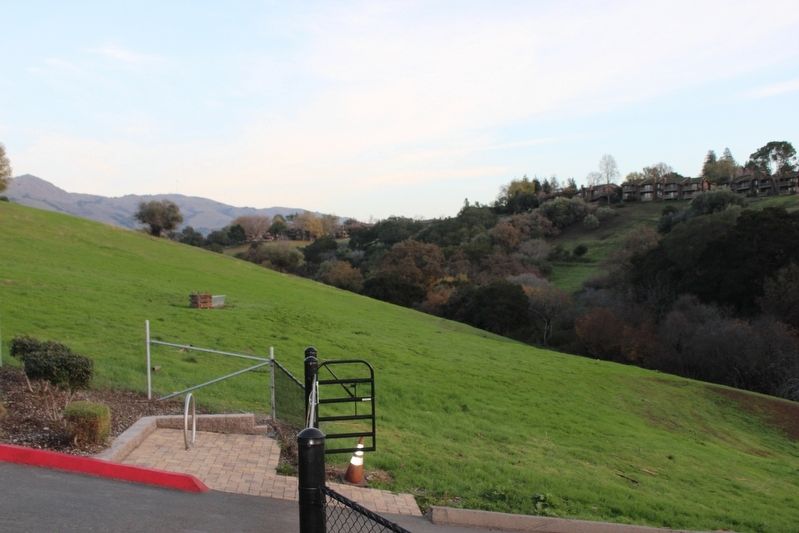
Location. 37° 31.689′ N, 121° 56.271′ W. Marker is in Fremont, California, in Alameda County. It is in Cameron Hills. Marker is at the intersection of Via Orinda and Castillejo Way, on the left when traveling west on Via Orinda. The resin marker is mounted to the fence in the Sabercat Creek Trail parking lot. Touch for map. Marker is at or near this postal address: 1837 Vía Orinda, Fremont CA 94539, United States of America. Touch for directions.
Other nearby markers. At least 8 other markers are within walking distance of this marker. Sabercat Historical Park (a few steps from this marker); Under the Canopy (within shouting distance of this marker); Winery Road (about 300 feet away, measured in a direct line); Gathering and Cooking Acorns (about 600 feet away); In Search of Fossils (approx. ¼ mile away); Land Mammals of the Irvingtonian Age (approx. ¼ mile away); West View (approx. 0.3 miles away); East View (approx. 0.3 miles away). Touch for a list and map of all markers in Fremont.
Credits. This page was last revised on February 7, 2023. It was originally submitted on December 19, 2022, by Joseph Alvarado of Livermore, California. This page has been viewed 133 times since then and 45 times this year. Photos: 1, 2, 3. submitted on December 19, 2022, by Joseph Alvarado of Livermore, California.


