Cameron Hills in Fremont in Alameda County, California — The American West (Pacific Coastal)
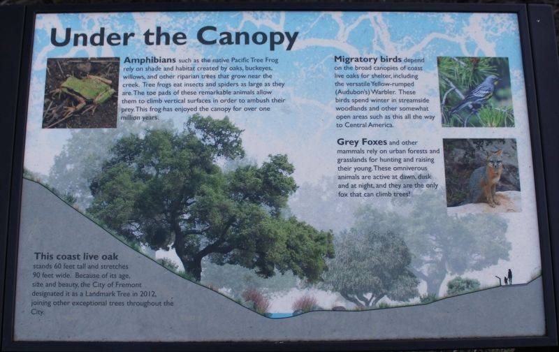
Under the Canopy
Amphibians such as the native Pacific Tree Frog rely on shade and habitat created by oaks, buckeyes, willows, and other riparian trees that grow near the creek. Tree frogs eat insects and spiders as large as they are. The toe pads of these remarkable animals allow them to climb vertical surfaces in order to ambush their prey. This frog has enjoyed the canopy for over one million years.
Migratory birds depend on the broad canopies of coast live oaks for shelter, including the versatile Yellow-rumped (Audubon’s) Warbler. These birds spend winter in streamside woodlands and other somewhat open areas such as this all the way to Central America.
Grey Foxes and other mammals rely on urban forests and grasslands for hunting and raising their young. These omnivorous animals are active at dawn, dusk and at night, and they are the only fox that can climb trees!
This coast live oak stands 60 feet tall and stretches 90 feet wide. Because of its age, size and beauty, the City of Fremont designated it as a Landmark Tree in 2012, joining other exceptional trees throughout the City.
Topics. This historical marker is listed in this topic list: Natural Features.
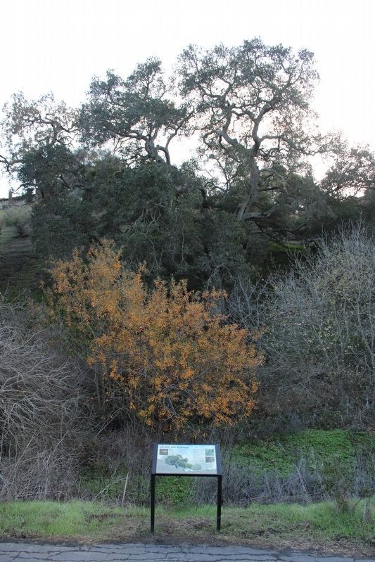
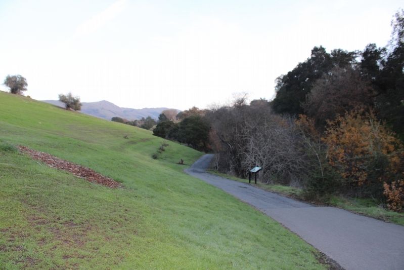
Location. 37° 31.651′ N, 121° 56.257′ W. Marker is in Fremont, California, in Alameda County. It is in Cameron Hills. Marker can be reached from Via Orinda near Castillejo Way. The resin marker is mounted to a metal stand on the Sabercat Creek Trail. Touch for map. Marker is at or near this postal address: 1837 Vía Orinda, Fremont CA 94539, United States of America. Touch for directions.
Other nearby markers. At least 8 other markers are within walking distance of this marker. Sabercat Historical Park (within shouting distance of this marker); The Hirsch Dairy Barn (within shouting distance of this marker); Winery Road (about 300 feet away, measured in a direct line); Gathering and Cooking Acorns (about 400 feet away); In Search of Fossils (approx. ¼ mile away); Land Mammals of the Irvingtonian Age (approx. ¼ mile away); West View (approx. 0.3 miles away); East View (approx. 0.3 miles away). Touch for a list and map of all markers in Fremont.
Also see . . . Landmark Trees. City of Fremont website entry:
"Fremont is home to many Landmark trees that decorate the city with heritage. Their locations often coincide with historical farms, ranches, nurseries, orchards and wineries that were once owned by early pioneer families such as Shinn, Rock, Stanford, Chadbourne, Vallejo, and Patterson."(Submitted on December 19, 2022, by Joseph Alvarado of Livermore, California.)
Credits. This page was last revised on February 7, 2023. It was originally submitted on December 19, 2022, by Joseph Alvarado of Livermore, California. This page has been viewed 90 times since then and 17 times this year. Photos: 1, 2, 3. submitted on December 19, 2022, by Joseph Alvarado of Livermore, California.


