Cameron Hills in Fremont in Alameda County, California — The American West (Pacific Coastal)
Winery Road
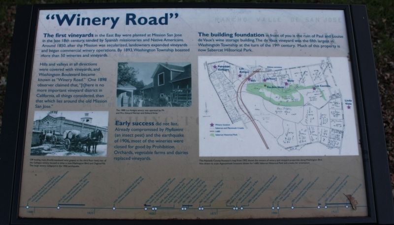
Hills and valleys in all directions were covered with vineyards, and Washington Boulevard became known as “Winery Road.” One 1898 observer claimed that, “[t]here is no more important vineyard district in California, all things considered, than that which lies around the old Mission San Jose.”
Early success did not last. Already compromised by Phylloxera (an insect pest) and the earthquake of 1906, most of the wineries were closed for good by prohibition. Orchards, vegetables farms and dairies replaced vineyards.
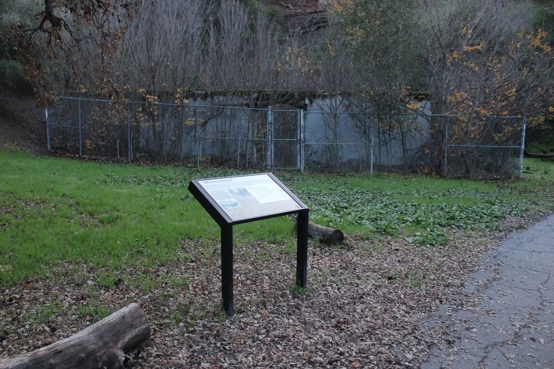
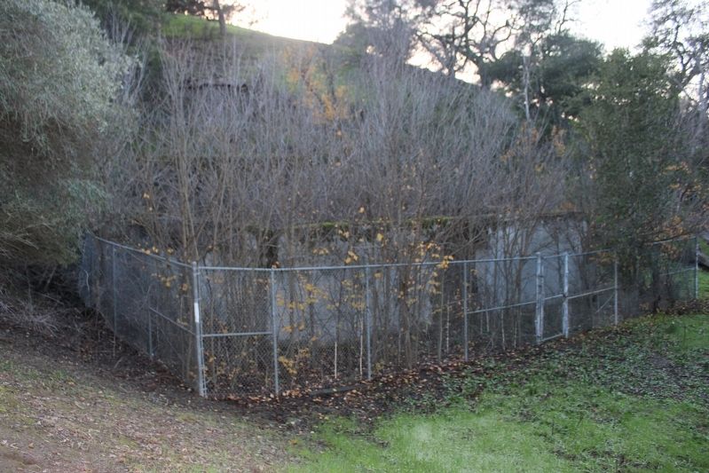
The building foundation in front of you is the ruin of Paul and Louise de Vaux’s wine storage building. The de Vaux vineyard was the fifth largest in Washington Township at the turn of the 19th century. Much of this property is now Sabercat Historical Park.
Images:
Off loading must (freshly squeezed wine grapes) at the third floor level, rear of the Gallegos winery, located at what is now Washington Blvd. and Osgood Rd. This large winery collapsed in the 1906 earthquake.
The 1888 Los Amigos winery was operated by Mr. and Mrs. Edward Werner and Edward Grau
The Alameda County Assessor’s map from 1902 shows the owners of winery and vineyard properties along Washington Blvd. Not drawn to scale. Approximate locations shown for I-680, Sabercat Historical Park and creeks, for orientation.
Topics. This historical marker is listed in these topic lists: Agriculture • Horticulture & Forestry. A significant historical year for this entry is 1850.
Location. 37° 31.669′ N, 121° 56.326′ W. Marker is in Fremont, California, in Alameda County. It is in Cameron Hills. Marker can be reached from Sabercat Creek Trail near Castillejo Way. The resin marker is mounted to a metal stand on the Sabercat Creek Trail. Touch for map. Marker is at or near this postal address: 1837 Vía Orinda, Fremont CA 94539, United States of America. Touch for directions.
Other nearby markers. At least 8 other markers are within walking distance of this marker. The Hirsch Dairy Barn (about 300 feet away, measured in a direct line); Sabercat Historical Park (about 300 feet away); Under the Canopy (about 300 feet away); Gathering and Cooking Acorns (about 800 feet away); In Search of Fossils (approx. 0.2 miles away); Land Mammals of the Irvingtonian Age (approx. 0.2 miles away); West View (approx. 0.4 miles away); East View (approx. 0.4 miles away). Touch for a list and map of all markers in Fremont.
Also see . . . Washington Township Museum of Local History: Lost Wineries and Vineyards of Fremont (PDF). "Away from the coastal fog and wind, and close by a major market, this area of Alameda County was ideal for vineyards and wine production. The history began with the Spanish Missionaries in 1797, and continued until 1996, when the last winery moved out." (Submitted on December 19, 2022, by Joseph Alvarado of Livermore, California.)
Credits. This page was last revised on February 7, 2023. It was originally submitted on December 19, 2022, by Joseph Alvarado of Livermore, California. This page has been viewed 182 times since then and 50 times this year. Photos: 1, 2, 3. submitted on December 19, 2022, by Joseph Alvarado of Livermore, California.


