Devil's Pocket in Philadelphia in Philadelphia County, Pennsylvania — The American Northeast (Mid-Atlantic)
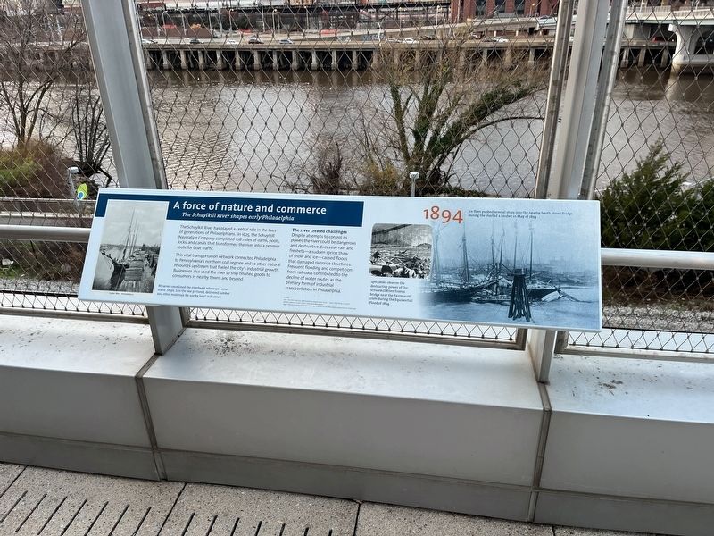
A force of nature and commerce
The Schuylkill River shapes early Philadelphia
— 1894 —

Photographed By Devry Becker Jones (CC0), December 17, 2022
1. A force of nature and commerce Marker
The Schuylkill River has played a central role in the lives of generations of Philadelphians. In 1825, the Schuylkill Navigation Company completed 108 miles of dams, pools, locks, and canals that transformed the river into a premier route for boat traffic.
This vital transportation network connected Philadelphia to Pennsylvania's northern coal regions and to other natural resources upstream that fueled the city's industrial growth. Businesses also used the river to ship finished goods to consumers in nearby towns and beyond.
The river created challenges
Despite attempts to control its power, the river could be dangerous and destructive. Excessive rain and freshets—a sudden spring thaw of snow and ice—caused floods that damaged riverside structures. Frequent flooding and competition from railroads contributed to the decline of water routes as the primary form of industrial transportation in Philadelphia.
[Captions:]
Wharves once lined the riverbank where you now stand. Ships, like the one pictured, delivered lumber and other materials for use by local industries.
Spectators observe the destructive power of the Schuylkill River from a bridge near the Fairmount Dam during the Equinoctial Flood of 1894.
Ice floes pushed several ships into the nearby South Street Bridge during the start of a freshet in May of 1894.
Topics. This historical marker is listed in these topic lists: Industry & Commerce • Waterways & Vessels. A significant historical month for this entry is May 1894.
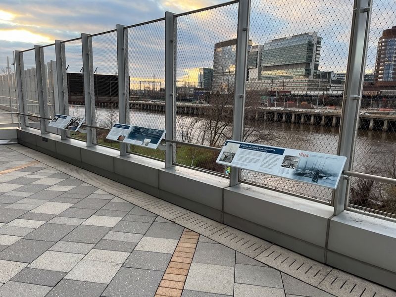
Location. 39° 56.756′ N, 75° 11.201′ W. Marker is in Philadelphia, Pennsylvania, in Philadelphia County. It is in Devil's Pocket. Marker is on South Avenue west of South 27th Street, on the right when traveling east. Touch for map. Marker is at or near this postal address: 614 Schuylkill Ave, Philadelphia PA 19146, United States of America. Touch for directions.
Other nearby markers. At least 8 other markers are within walking distance of this marker. The arteries of industry (a few steps from this marker); Workshop of the world (a few steps from this marker); South Street Bridge (about 300 feet away, measured in a direct line); Pioneering Pediatrics (about 300 feet away); Tides and Floods (about 400 feet away); These 19th-century Belgian blocks… (about 400 feet away); Schuylkill Pocket Veterans Memorial Field (approx. ¼ mile away); Schuylkill Veterans Memorial (approx. ¼ mile away). Touch for a list and map of all markers in Philadelphia.

Photographed By Devry Becker Jones (CC0), December 17, 2022
2. A force of nature and commerce Marker
Credits. This page was last revised on February 2, 2023. It was originally submitted on December 22, 2022, by Devry Becker Jones of Washington, District of Columbia. This page has been viewed 54 times since then and 8 times this year. Photos: 1, 2. submitted on December 22, 2022, by Devry Becker Jones of Washington, District of Columbia.