Beckley in Raleigh County, West Virginia — The American South (Appalachia)
Beckley's Flying Circuses
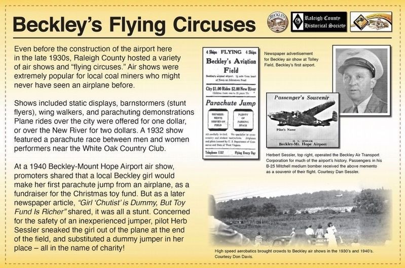
Even before the construction of the airport here in the late 1930s, Raleigh County hosted a variety of air shows and “flying circuses.” Air shows were extremely popular for local coal miners who might never have seen an airplane before.
Shows included static displays, barnstormers (stunt flyers), wing walkers, and parachuting demonstrations Plane rides over the city were offered for one dollar, or over the New River for two dollars. A 1932 show featured a parachute race between men and women performers near the White Oak Country Club.
At a 1940 Beckley-Mount Hope Airport air show, promoters shared that a local Beckley girl would make her first parachute jump from an airplane, as a fundraiser for the Christmas toy fund. But as a later newspaper article, “Girl ‘Chutist’ is Dummy, But Toy Fund Is Richer” shared, it was all a stunt. Concerned for the safety of an inexperienced jumper, pilot Herb Sessler sneaked the girl out of the plane at the end of the field, and substituted a dummy jumper in her place – all in the name of charity!
[Captions:]
Newspaper advertisement for Beckley air show at Tolley Field, Beckley’s first airport.
Herbert Sessler, top right, operated the Beckley Air Transport Corporation for much of the airport’s history. Passengers in his B-25 Mitchell medium bomber received the above memento as a souvenir of their flight. Courtesy Dan Sessler.
High speed aerobatics brought crowds to Beckley air shows in the 1930’s and 1940’s. Courtesy Don Davis.
Erected 2022 by Raleigh County Historical Society; City of Beckley; National Coal Heritage Area Authority.
Topics. This historical marker is listed in these topic lists: Air & Space • Entertainment. A significant historical year for this entry is 1933.
Location. 37° 48.668′ N, 81° 10.964′ W. Marker is in Beckley, West Virginia, in Raleigh County. Marker is on Industrial Drive just west of Lewis Ritchie Drive, on the right when traveling west. Touch for map. Marker is at or near this postal address: 169 Industrial Drive, Beckley WV 25801, United States of America. Touch for directions.
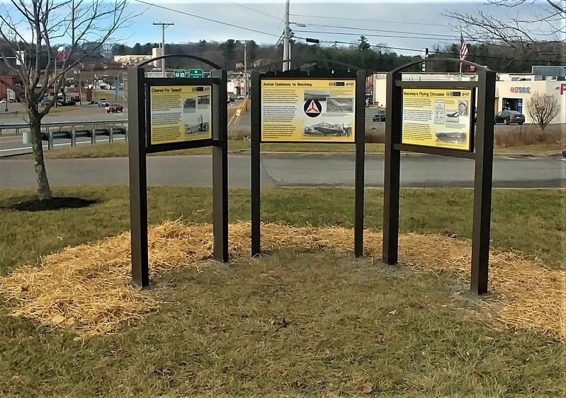
Other nearby markers. At least 8 other markers are within 2 miles of this marker, measured as the crow flies. Cleared for Takeoff (here, next to this marker); Aerial Gateway to Beckley (here, next to this marker); Samuel B. Antonio (about 500 feet away, measured in a direct line); Clarence W. Meadows (approx. 1.8 miles away); From Agriculture to Mining (approx. 1.9 miles away); The Indian Path (approx. 1.9 miles away); Dinky Locomotive (approx. 2 miles away); Mortality (approx. 2 miles away). Touch for a list and map of all markers in Beckley.
Credits. This page was last revised on December 26, 2022. It was originally submitted on December 23, 2022, by Merle T. Cole of Daniels, West Virginia. This page has been viewed 95 times since then and 21 times this year. Photos: 1. submitted on December 23, 2022, by Merle T. Cole of Daniels, West Virginia. 2. submitted on December 24, 2022, by Merle T. Cole of Daniels, West Virginia. • Devry Becker Jones was the editor who published this page.

