Riverside in Baltimore, Maryland — The American Northeast (Mid-Atlantic)
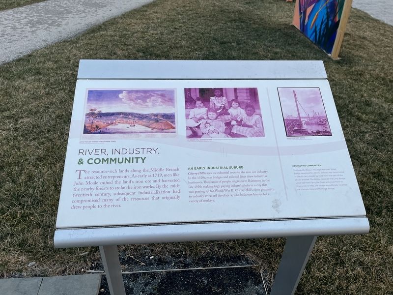
River, Industry, & Community
The resource-rich lands along the Middle Branch attracted entrepreneurs. As early as 1719, men like John Moale mined the land's iron ore and harvested the nearby forests to stoke the iron works. By the mid-twentieth century, subsequent industrialization had compromised many of the resources that originally drew people to the river.
An Early Industrial Suburb
Cherry Hill traces its industrial roots to the iron ore industry. In the 1920s, new bridges and railroad lines drew industrial businesses. Thousands of people migrated to Baltimore in the late 1930s seeking high paying industrial jobs in a city that was gearing up for World War II. Cherry Hill's close proximity to industry attracted developers, who built row houses for a variety of workers.
Connecting Communities
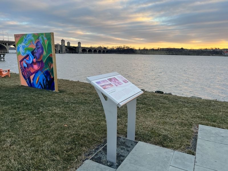
The beautiful Beaux-Arts style Hanover Street Bridge, designed by John E. Greiner, was constructed in 1916 to carry goods by road from one part of the city to another. The bridge replaced the Long Bridge which led from Ferry Bar Road at Locust Point to Cherry Hill. In 1992, the bridge was officially named the Vietnam Veterans Memorial Bridge.
Topics. This historical marker is listed in these topic lists: Bridges & Viaducts • Industry & Commerce • Natural Resources • Settlements & Settlers • Waterways & Vessels. A significant historical year for this entry is 1719.
Location. 39° 15.652′ N, 76° 37.039′ W. Marker is in Baltimore, Maryland. It is in Riverside. Marker can be reached from the intersection of West Cromwell Street and Clarkson Street, on the right when traveling east. The marker stands on the grounds of West Covington Park. Touch for map. Marker is at or near this postal address: 101 W Cromwell St, Baltimore MD 21230, United States of America. Touch for directions.
Other nearby markers. At least 8 other markers are within walking distance of this marker. A River that Shaped a City (within shouting distance of this marker); Restoring Space (about 400 feet away, measured in a direct line); The Enduring Middle Branch (about 400 feet away); Welcome to West Covington Park (about 700 feet away); Vietnam Veterans Memorial Bridge (approx. 0.2 miles away); Swann Park (approx. 0.4 miles away); John Smith Explores Patapsco (approx. 0.4 miles away); On Guard (approx. 0.4 miles away). Touch for a list and map of all markers in Baltimore.
Credits. This page was last revised on December 25, 2022. It was originally submitted on December 25, 2022, by Devry Becker Jones of Washington, District of Columbia. This page has been viewed 65 times since then and 8 times this year. Photos: 1, 2. submitted on December 25, 2022, by Devry Becker Jones of Washington, District of Columbia.

