
North Laurel in Howard County, Maryland — The American Northeast (Mid-Atlantic)
Maryland Purple Heart Trail
I-95
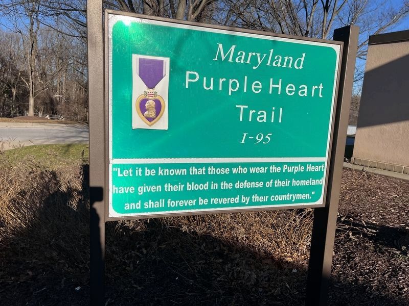
Topics and series. This memorial is listed in this topic list: Military. In addition, it is included in the Military Order of the Purple Heart series list.
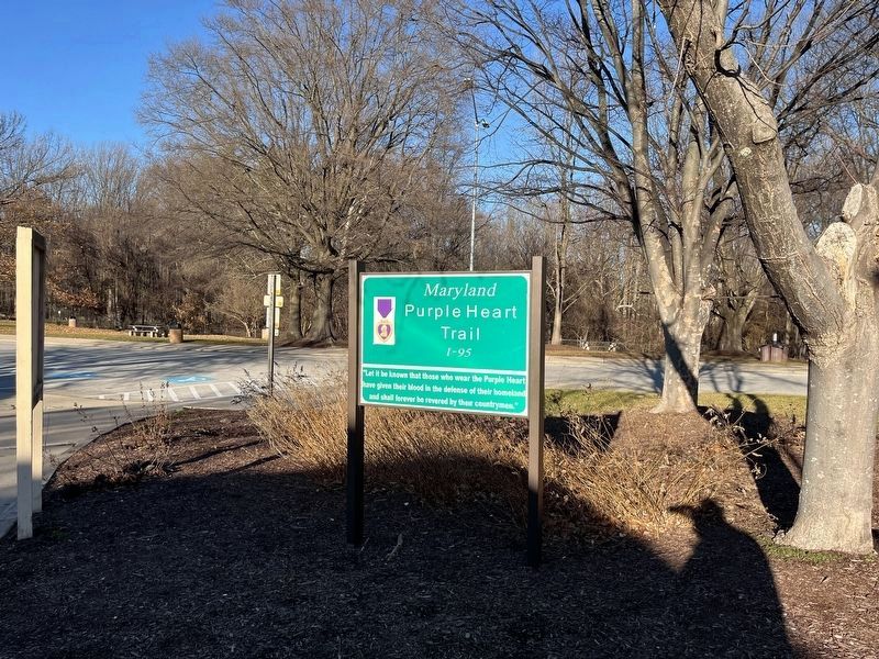
Location. 39° 8.745′ N, 76° 50.718′ W. Memorial is near Laurel, Maryland, in Howard County. It is in North Laurel. It can be reached from Interstate 95 5.4 miles south of Patuxent Freeway (Maryland Route 32), on the right when traveling south. The memorial stands in the I-95 South Maryland Welcome Center. Touch for map. Memorial is at or near this postal address: I-95, Laurel MD 20723, United States of America. Touch for directions.

Regionally, this memorial is in the Baltimore Metro Region and in Central Maryland. It is also in the American Mid-Atlantic and on the Eastern Seaboard. Globally, it is in the North Atlantic Region, North America, the Western Hemisphere, the Western World, and the Anglosphere. Historically, it finds itself in what was once
this page online
Other nearby markers. At least 8 other markers are within 2 miles of this marker, measured as the crow flies: Governor Harry R. Hughes (a few steps from this marker); Explore your Chesapeake (within shouting distance of this marker); Explore Your Chesapeake (approx. 0.3 miles away); a different marker also named Maryland Purple Heart Trail (approx. 0.3 miles away); This Survey Point (approx. one mile away); Millworkers House (approx. 1.1 miles away); 9051-9053 Baltimore Street (approx. 1.2 miles away); Historic Savage Mill (approx. 1.2 miles away).
Credits. This page was last revised on January 14, 2024. It was originally submitted on December 25, 2022, by Devry Becker Jones of Washington, District of Columbia. This page has been viewed 750 times since then and 40 times this year. Photos: 1, 2. submitted on January 14, 2024, by Devry Becker Jones of Washington, District of Columbia.
