North Capitol in Nashville in Davidson County, Tennessee — The American South (East South Central)
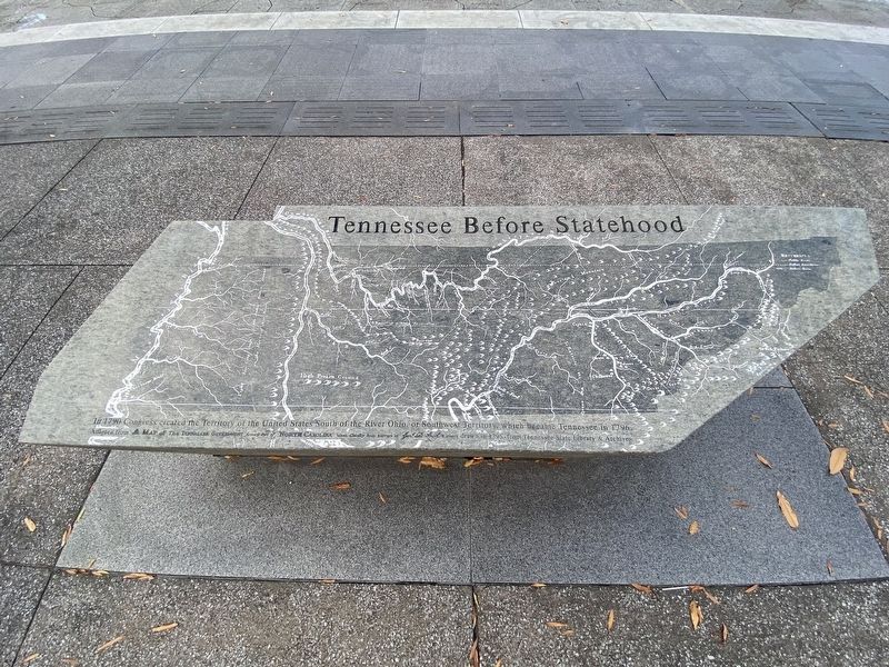
Tennessee Before Statehood
Photographed by Darren Jefferson Clay, December 3, 2022
1. Tennessee Before Statehood Marker
Adapted from a map of the Tennessee Government formerly part of North Carolina taken chiefly from surveys by Gen. D. Smith and others drawn in 1795 from Tennessee State Library & Archives
Topics. This historical marker is listed in this topic list: Notable Places.
Location. 36° 10.12′ N, 86° 47.168′ W. Marker is in Nashville, Tennessee, in Davidson County. It is in North Capitol. It is on James Robertson Parkway, on the right when traveling west. Touch for map. Marker is at or near this postal address: 600 James Robertson Pkwy, Nashville TN 37208, United States of America. Touch for directions.

Regionally, this marker is in Middle Tennessee. It is also in the American South and specifically in the Upper South. Globally, it is in North America, the Western Hemisphere, the Western World, and the Anglosphere. Historically, it finds itself in what was once the territory of the Mississippian Culture, one of the Confederate
this page online
Other nearby markers. At least 8 other markers are within walking distance of this marker: The First Tennesseans (here, next to this marker); Tennessee's Nature (here, next to this marker); Tennessee's Landscape (a few steps from this marker); Tennessee's Foundation (a few steps from this marker); Tennessee Trails Past and Present (a few steps from this marker); Zero (a few steps from this marker); America's Musical Roots in Tennessee (within shouting distance of this marker); Hell’s Half Acre (within shouting distance of this marker). Touch for a list and map of all markers in Nashville.
Photographed by Darren Jefferson Clay, December 3, 2022
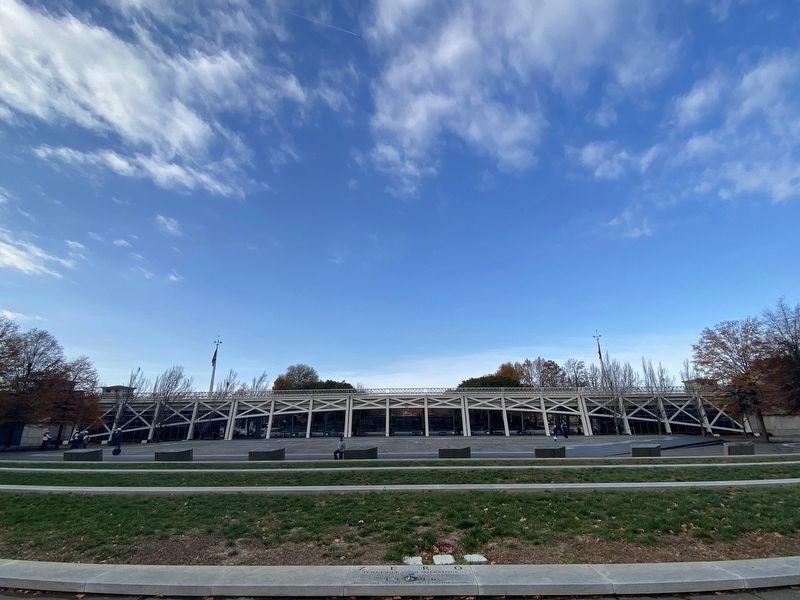
2. Tennessee Before Statehood Marker
Credits. This page was last revised on February 7, 2023. It was originally submitted on December 27, 2022, by Darren Jefferson Clay of Duluth, Georgia. This page has been viewed 227 times since then and 23 times this year. Photos: 1, 2. submitted on December 28, 2022, by Darren Jefferson Clay of Duluth, Georgia. • Bill Pfingsten was the editor who published this page.
