Lorch in Ostalbkreis, Baden-Württemberg, Germany — Central Europe
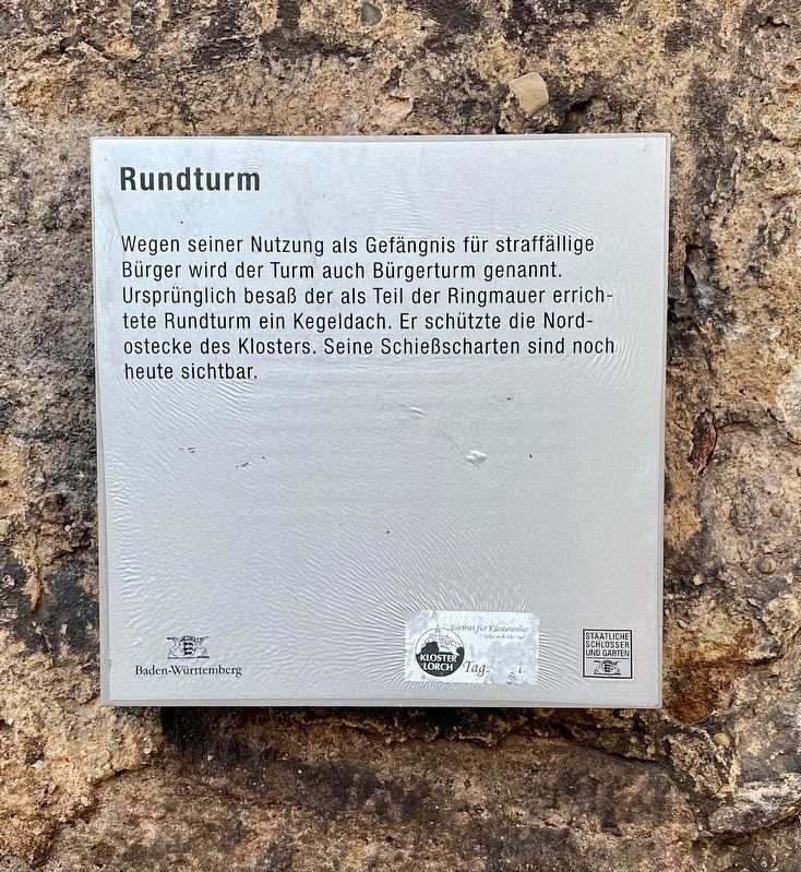
Rundturm / Round Tower
(English translation:)
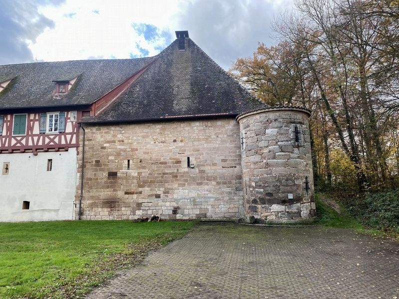
Because of its use as a prison for delinquent citizens, the tower was also called the Citizens' Tower. Originally, the round tower built as part of the ring wall and had a conical roof, providing a defense of the northeast corner of the monastery. The loopholes for shooting are still visible today.
Erected by Baden-Württemberg Staatliche Schlosser und Garten.
Topics. This historical marker is listed in these topic lists: Forts and Castles • Law Enforcement.
Location. 48° 47.962′ N, 9° 42.258′ E. Marker is in Lorch, Baden-Württemberg, in Ostalbkreis. Marker is on Kloster Lorch, on the right when traveling south. Touch for map. Marker is in this post office area: Lorch BW 73547, Germany. Touch for directions.
Other nearby markers. At least 8 other markers are within walking distance of this marker . Bahnhof / Railway Station (approx. 0.7 kilometers away); Wohn- und Handwerker Haus / Residential and Craftworkers House (approx. 0.8 kilometers away); Grüner Baum / Green Tree Inn (approx. one kilometer away); Apotheke / Apothecary (approx. one kilometer away); Goldener Adler (approx. one kilometer away); Mörikehaus / Home of Eduard Mörike (approx. one kilometer away); Oberamtei, Oberförstei, Rathaus / Magistrate Office, Forestry Office, City Hall (approx. 1.1 kilometers away); Badstube Pfarrhaus / Bathing Facilities, Rectory (approx. 1.1 kilometers away). Touch for a list and map of all markers in Lorch.
More about this marker. The marker mounted to the side of the tower and is visible from the access road leading from the parking lot to the Kloster.
Credits. This page was last revised on December 30, 2022. It was originally submitted on December 30, 2022, by Andrew Ruppenstein of Lamorinda, California. This page has been viewed 53 times since then and 5 times this year. Photos: 1, 2. submitted on December 30, 2022, by Andrew Ruppenstein of Lamorinda, California.

