New Madrid in New Madrid County, Missouri — The American Midwest (Upper Plains)
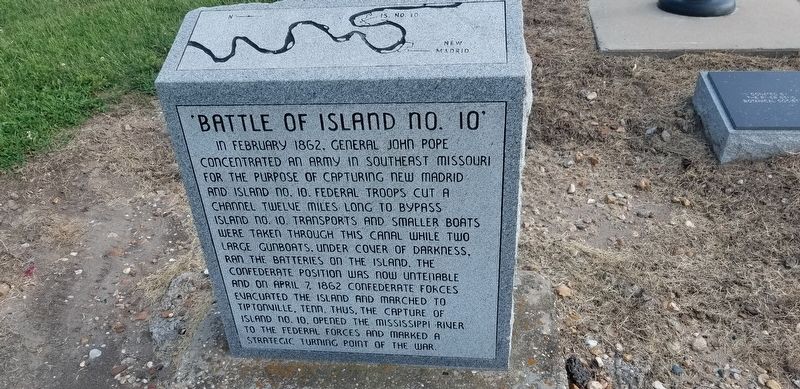
Battle of Island No. 10
In February 1862, General John Pope concentrated an army in southeast Missouri for the purpose of capturing New Madrid and Island No. 10. Federal troops cut a channel twelve miles long to bypass Island No. 10. Transports and smaller boats were taken through this canal while two large gunboats, under cover of darkness, ran the batteries on the island. The Confederate position was now untenable and on April 7, 1862 Confederate forces evacuated the island and marched to Tiptonville, Tenn. Thus the capture of Island No, 10 opened the Mississippi River to the Federal forces and marked a strategic turning point of the war.
Topics. This historical marker is listed in this topic list: War, US Civil. A significant historical date for this entry is April 7, 1862.
Location. 36° 35.025′ N, 89° 31.606′ W. Marker is in New Madrid, Missouri, in New Madrid County. Marker is on Main Street near Levee Road, on the left when traveling east. Touch for map. Marker is in this post office area: New Madrid MO 63869, United States of America. Touch for directions.
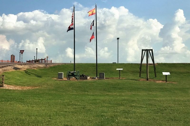
Other nearby markers. At least 8 other markers are within walking distance of this marker. Fort Bankhead (here, next to this marker); Bissell's Submergible Saw (here, next to this marker); New Madrid (a few steps from this marker); New Madrid & Island No. Ten (within shouting distance of this marker); Higgerson School (about 600 feet away, measured in a direct line); Water Route to Indian Territory (about 600 feet away); They Passed This Way (about 600 feet away); A Growing State...A Shrinking County (approx. ¼ mile away). Touch for a list and map of all markers in New Madrid.
Credits. This page was last revised on December 31, 2022. It was originally submitted on July 31, 2021, by Cajun Scrambler of Assumption, Louisiana. This page has been viewed 261 times since then and 26 times this year. Last updated on December 30, 2022, by Carl Gordon Moore Jr. of North East, Maryland. Photos: 1, 2. submitted on July 31, 2021, by Cajun Scrambler of Assumption, Louisiana. • Devry Becker Jones was the editor who published this page.

