Near Hume in Fresno County, California — The American West (Pacific Coastal)
Buck Rock Lookout
A Continuing Legacy of Meeting the Nation's Needs
The Birth of Lookouts
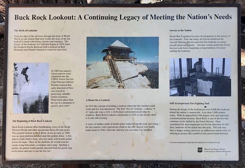
From the days of the old west, through the trials of World War II, to our current high-tech world, the story of the fire lookout is laced with history, heroics and romance. The history of fire lookouts in California begins in 1876 when the Southern Pacific Railroad built a lookout on Red Mountain near Donner Summit to watch for train fires.
In 1905 our nation's forest reserves were organized into the USDA Forest Service. Chief Forester Gifford Pinchot realized that early detection of fires was crucial in protecting valuable timber resources. What better place than the top of a mountain to quickly spot a fire?
The Beginning of Buck Rock Lookout
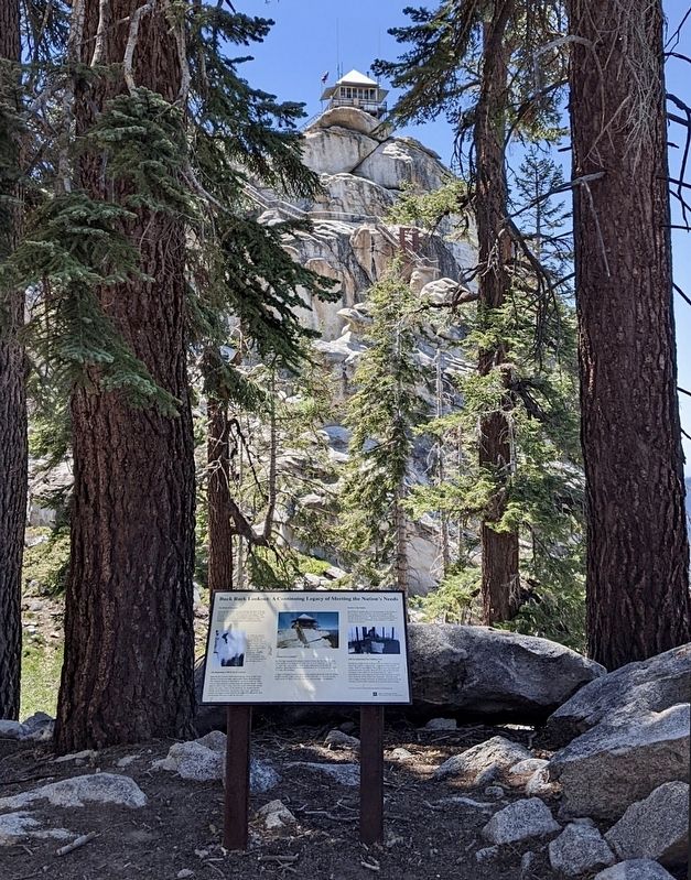
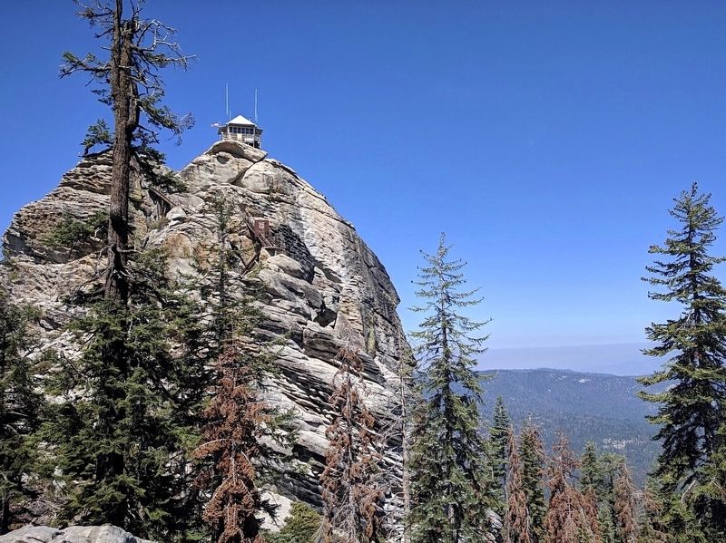
Buck Rock Lookout offers breathtaking views of the Great Western Divide and other spectacular Sierra Nevada peaks. The original lookout at Buck Rock, in use as early as 1908, was an open platform perched atop this granite dome. A fire patrol would climb a long, slim tree trunk with boards nailed across for steps. Once on the platform, he would scan for smoke using binoculars, a compass and a map. Spotting a smoke, the patrol would quickly descend from his perch, hop on his horse and race to put the fire out.
A House for a Lookout
In 1914 the concept of building a lookout where the fire watcher could work and live was introduced. The first "live-in" lookout — called a "4-A" style cab — was a 14 ft. x 14 ft. room surrounded on all sides by windows. Buck Rock Lookout, constructed in 1923, is one of only three 4-A cabs still existing.
A series of ladders made of timber poles snaked along the rock, providing the fire watcher with a precarious climb to the cab. Access was finally made easier in 1942, when the stairway you see today was installed.
Service to the Nation
World War II sparked two new developments in the history of fire lookouts. First, the Army Air Forces mobilized the Aircraft Warning Service and used fire lookouts as enemy aircraft observation posts. Second, women joined the Forest Service work force, beginning a long tradition of women staffing fire lookouts.
Still An Important Fire-Fighting Tool
During the height of the lookout era over 8,000 fire lookouts dotted the nation's countryside. Less than 1,000 remain today. With its unparalleled 360-degree view and important communications location, Buck Rock is one of the few that continues to be staffed by the Forest Service. Once considered the most important tool for the detection of wild fires, lookouts all but faded into obscurity. This tale may have a happy ending, however, as enthusiasts nation-wide are rallying to protect this symbol of our conservation heritage.
Erected by Giant Sequoia National Monument.
Topics. This historical marker is listed in these topic lists: Horticulture & Forestry • Natural Resources • Parks & Recreational Areas. A significant historical year for this entry is 1908.
Location. 36° 44.13′ N, 118° 51.506′ W. Marker is near Hume, California, in Fresno County. Marker is on FS 14S11, 5 miles north of Generals Highway, on the left when traveling north. Touch for map. Marker is in this post office area: Hume CA 93628, United States of America. Touch for directions.
Other nearby markers. At least 8 other markers are within 12 miles of this marker, measured as the crow flies. Technology in Timber County… (approx. 4.7 miles away); Converse Basin Grove (approx. 6.4 miles away); The Centennial Stump (approx. 6˝ miles away); General Grant Tree Trail (approx. 6˝ miles away); Gamlin Cabin (approx. 6˝ miles away); The Fallen Monarch (approx. 6.6 miles away); Millwood (approx. 7.4 miles away); Sequoia-Kings Canyon National Parks (approx. 11˝ miles away).
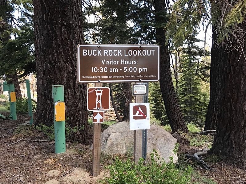
Regarding Buck Rock Lookout. The lookout is usually open during the summer starting in June. See their website for more information.
Also see . . . Buck Rock Foundation. Visitor information. (Submitted on January 2, 2023.)
Credits. This page was last revised on January 2, 2023. It was originally submitted on January 2, 2023, by Craig Baker of Sylmar, California. This page has been viewed 180 times since then and 32 times this year. Photos: 1, 2, 3, 4. submitted on January 2, 2023, by Craig Baker of Sylmar, California.


